- Karaberd, Shirak
-
Coordinates: 40°32′37″N 43°49′40″E / 40.54361°N 43.82778°E
Karaberd
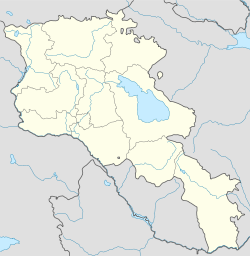
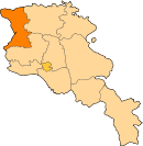
ՔարաբերդCoordinates: 40°32′37″N 43°49′40″E / 40.54361°N 43.82778°E Country Armenia Marz (Province) Shirak Population (2001) – Total 1,090 Time zone (UTC+4) – Summer (DST) (UTC+5) Karaberd (Armenian: Քարաբերդ, also Romanized as K’araberd; formerly, Dashkala) is a town in the Shirak Province of Armenia.
References
- Karaberd, Shirak at GEOnet Names Server
- Report of the results of the 2001 Armenian Census, National Statistical Service of the Republic of Armenia
Categories:- Populated places in Shirak
- Shirak geography stubs
Wikimedia Foundation. 2010.


