- Depot Creek Falls
-
Depot Creek Falls 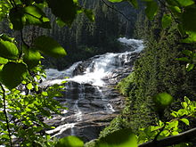
Location Whatcom County, Washington, USA Type Cascade Total height 967 feet (295 m) Number of drops 1 Total width 125 feet (38 m) Watercourse Depot Creek Depot Creek Falls is a 967-foot (295 m)-high waterfall in the North Cascades National Park, Whatcom County, Washington.
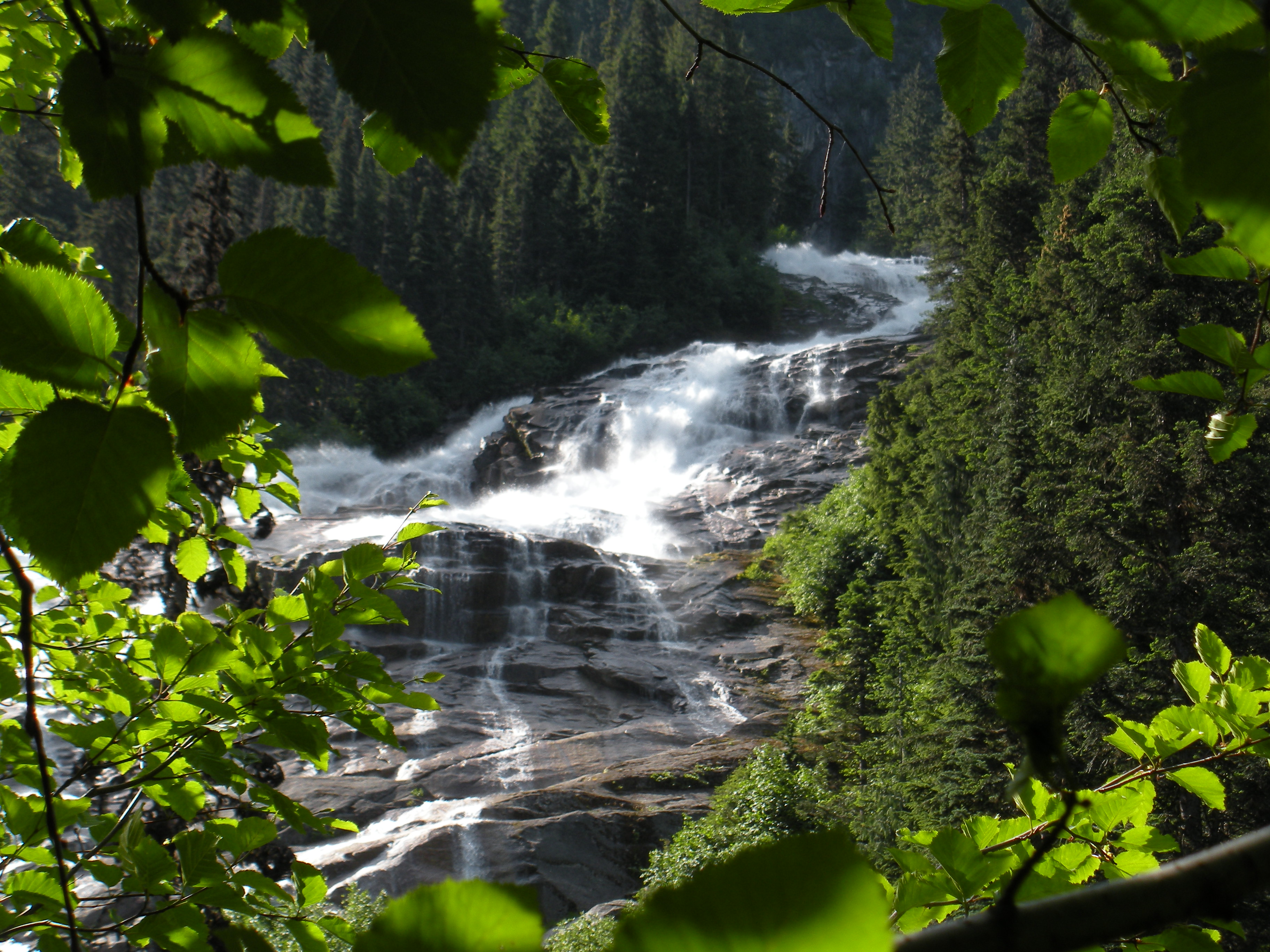
The falls occur where Depot Creek drops over a headwall. The creek starts off by plunging 200 feet (61 m). After that is a long slide of 767 feet (234 m) to the bottom of the valley. Spray at the falls' base is immense. The average volume of the falls is 300-500 cubic feet per second of water, which flows over a nearly 1,000-foot (300 m) high cliff as a 125-foot (38 m)-wide river.[1]
Reaching the falls is anything but easy. One has to drive up Depot Creek FSR, which is bad enough given the terrible condition of it before hiking about 8 miles (13 km) to the falls. That is why the falls are very seldom visited however, for those who do go out there and reach the falls, they will be treated to one great waterfall.[2]
Nearby waterfalls
- Depot Valley Falls (400 ft)
- Lake Fork Falls (400 ft)
- Spickard Falls (600 ft)
- Silver Lake Falls (2,128 ft)
References
- ^ "Depot Creek Falls". Bryan Swan and Dean Goss. World Waterfall Database. 2004-10-06. http://www.world-waterfalls.com/waterfall.php?num=183. Retrieved 2009-05-21.
- ^ Swan, Bryan. "Depot Creek Falls". Waterfalls of the Pacific Northwest. http://www.waterfallsnorthwest.com/waterfall.php?num=207&p=0. Retrieved 2009-05-21.
Waterfalls of the North Cascades of Washington Bacon Peak • Berdeen • Blum Basin • Boston Creek • Colonial Creek • Cloudcap • Depot Creek • Depot Valley • Green Lake • Jordan Creek • Mazama • Nooksack • Rainy Lake• Rockflow Canyon • Seahpo Peak • Roush Creek • Sholes Creek • Sulphide Creek • Torment • Wells Creek •
Coordinates: 48°58′38″N 121°17′05″W / 48.97722°N 121.28472°W
Categories:- Waterfalls of Washington (state)
- North Cascades of Washington (state)
- Landforms of Whatcom County, Washington
- North Cascades National Park
- Washington (state) geography stubs
Wikimedia Foundation. 2010.