- Mount Shuksan Waterfalls
-
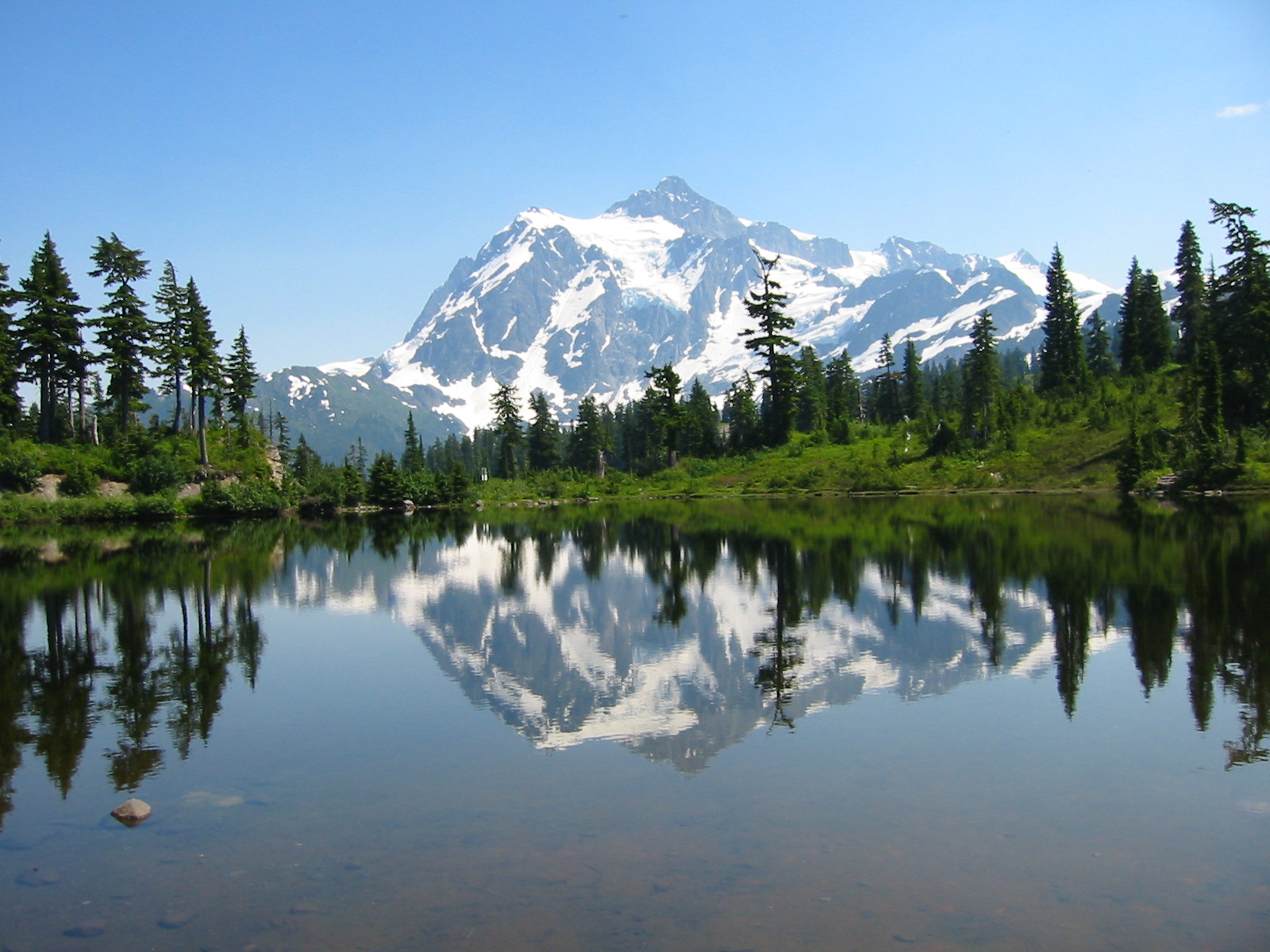
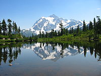 Mount Shuksan
There are four prominent waterfalls in the basin of a short tributary of Sulphide Creek, on the southeast flanc of 9,127-foot (2,781m) Mount Shuksan in North Cascades National Park, Washington. Seahpo Peak Falls and Cloudcap Falls, the taller two of the three, are located on separate streams that converge and plunge over Rockflow Canyon Falls. The unnamed outlet stream from these waterfalls flows into Sulphide Creek, which flows into the Baker River. Another waterfall is Jagged Ridge Falls, on a tributary of the unnamed stream.
Contents
Seahpo Peak Falls
Seahpo Peak Falls Location North Cascades National Park, Whatcom County, Washington, USA Type Tiered Total height 2,200 feet (670 m) Longest drop 500 feet (150 m) Total width 5 feet (1.5 m) Watercourse Unnamed Average flow rate 35 cubic feet per second (0.99 m3/s) World height ranking 36 Seahpo Peak Falls, at 48°48′49″N 121°33′02″W / 48.81361°N 121.55056°W, is an intermittent waterfall on an unnamed glacial stream coming off Seahpo Peak. The largest (but not tallest) of the waterfalls on Mount Shuksan, it stands about 2,200 feet (670m) high and has 6 distinct tiers, the largest of which drops about 500 sheer feet (152m) .[1]
It is located near the five waterfalls of Sulphide Basin.[2]
Its name stems from a Chinook Jargon word meaning "cap".
Cloudcap Falls
Cloudcap Falls Location North Cascades National Park, Whatcom County, Washington, USA Type Cascade Total height 2,400 feet (730 m) Total width 5 feet (1.5 m) Watercourse Unnamed Average flow rate 30 cubic feet per second (0.85 m3/s) World height ranking 22 Cloudcap Falls, at 48°48′52″N 121°33′47″W / 48.81444°N 121.56306°W, is a cascade that drops about 2,400 feet (731m) and runs 5000 feet (1524m) off Jagged Ridge near Mount Shuksan. Although it is slightly taller than Seahpo Peak Falls, it is more seasonal and has a smaller volume, and is essentially a long cascade that does not have any prominent vertical drops.[3]
Rockflow Canyon Falls
Rockflow Canyon Falls Location North Cascades National Park, Whatcom County, Washington, USA Type Segmented Horsetail Total height 200 feet (61 m) Total width 10 feet (3.0 m) Watercourse Unnamed Average flow rate 100 cubic feet per second (2.8 m3/s) Rockflow Canyon Falls, at 48°48′10″N 121°33′14″W / 48.80278°N 121.55389°W, is a 200 foot (60m) horsetail located where the water from Seahpo Peak Falls and Cloudcap Falls converges. It is the final waterfall on the drainage before it empties into the Baker River. In some months it is seen in tandem with a seasonal waterfall of similar height.[4]
Jagged Ridge Falls
48°48′12″N 121°33′54″W / 48.80333°N 121.565°W
See also
- Mount Shuksan
- Sulphide Creek Falls
Notes
Waterfalls of the North Cascades of Washington Bacon Peak • Berdeen • Blum Basin • Boston Creek • Colonial Creek • Cloudcap • Depot Creek • Depot Valley • Green Lake • Jordan Creek • Mazama • Nooksack • Rainy Lake• Rockflow Canyon • Seahpo Peak • Roush Creek • Sholes Creek • Sulphide Creek • Torment • Wells Creek •
Categories:- Waterfalls of Washington (state)
- North Cascades of Washington (state)
- Landforms of Whatcom County, Washington
- North Cascades National Park
Wikimedia Foundation. 2010.