- Mount Iō (Shiretoko)
-
Mount Iō 硫黄山 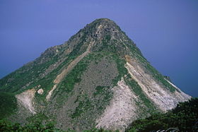
Mount Iō from near the top (August 2005)Elevation 1,562.0 m (5,125 ft) [1] Prominence 243 m (797 ft) [1] Parent peak Mount Sashirui Listing List of mountains in Japan
List of volcanoes in JapanTranslation Sulphur Mountain (Japanese) Location Location of Mount Iō in Japan.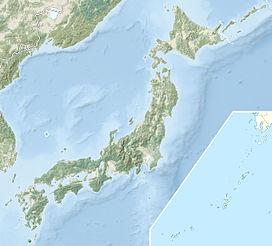
 Mount Iō
Location Hokkaidō, Japan Range Shiretoko Peninsula Coordinates 44°8′0″N 145°9′40″E / 44.133333°N 145.16111°ECoordinates: 44°8′0″N 145°9′40″E / 44.133333°N 145.16111°E[1] Topo map Geospatial Information Authority, 25000:1 硫黄山
50000:1 羅臼Geology Type Stratovolcano Volcanic arc/belt Kuril arc[2] Last eruption 1936 Mount Iō (硫黄山 Iō-zan) also Mount Iwo is an active andesitic stratovolcano on the Shiretoko Peninsula of Hokkaidō, Japan. It sits within the borders of the town of Shari. Mount Iō is known for erupting liquid sulphur in the eruptions of 1889 and 1936.[3] Mount Iō literally means, sulphur mountain.
History of eruptions
Mount Iō has erupted at the following times:[3]
- 850 AD ± 500 years
- 1857–1858
- 23–26 September 1876
- 24–26 November 1880
- 9–26 August 1889
- 15 June 1890–unknown
- Decembeber 1935–October 1936
References
- ^ a b c Geospatial Information Authority map 25000:1 硫黄山, last access May 23, 2008
- ^ Hunt, Paul (1988). Hiking in Japan: An Adventurer's Guide to the Mountain Trails. Tokyo: Kodansha International Ltd.. ISBN 0-87011-893-5.
- ^ a b Global Volcanism Program, article on Mount Iō, last access 23 May 2008
See also
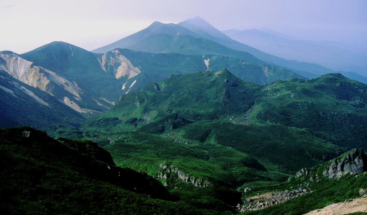
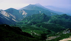 The mountains of Shiretoko Peninsula from Mount Iō.
 Categories:
- Stratovolcanoes
- Volcanoes of Hokkaidō
- Mountains of Hokkaidō
- Hokkaidō geography stubs


Wikimedia Foundation. 2010.