- Horsley, New South Wales
Infobox Australian Place | type = suburb
name = Horsley
city = Wollongong
state = New South Wales
caption =
lga = City of Wollongong
postcode = 2530
pop =
est =
area =
propval =
stategov = Shellharbour
fedgov = Throsby
near-nw =
near-n = Wongawilli
near-ne = Brownsville
near-w =
near-e = Dapto
near-sw =
near-s = Avondale
near-se = Albion Park
dist1 =
dir1 = Illawarra
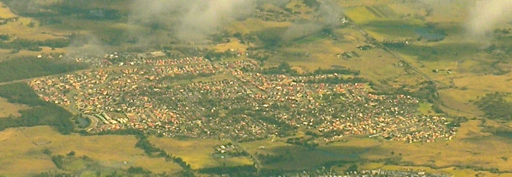
location1= WollongongHorsley is a suburb in Wollongong previously known as West Dapto. It is the location of the new Dapto Primary school and a community centre. This suburb has been recently (
1999 ) expanded and contains many newly developed houses. On Census Night 7th August2001 there were 5,328 persons counted in Horsley, 49.8% were males and 50.2% were females. Of the total population 1.1% were of Indigenous Origin. The previous Dapto primary school was moved here in 2004.Horsley has a small shop area. It is surrounded by parkland, skatepark grounds and playing fields to the east (in the narrow area separating it from Dapto, and farmland to the north, west and south. West of Horsley is Mount Bong Bong, part of the
Illawarra escarpment range and the Dapto cliffs, providing a towering backdrop. Much of the land about is the last remaining land availale to housing developers and much growth is possible. There is a shooting range west of Horsley reached via Bong Bong Road.
Wikimedia Foundation. 2010.