- Wenchuan County
Infobox Settlement
name =Wenchuan County
official_name =
other_name =
native_name =汶川县
nickname =
settlement_type =County
total_type =
motto =
translit_lang1=Chinese
translit_lang1_type=Simplified
translit_lang1_info=汶川县
translit_lang1_type1=Traditional
translit_lang1_info1=汶川縣
translit_lang1_type2=Pinyin
translit_lang1_info2=Wènchuān Xiàn
translit_lang1_type3=Tibetan
translit_lang1_info3=ལུང་དགུ་རྫོང་།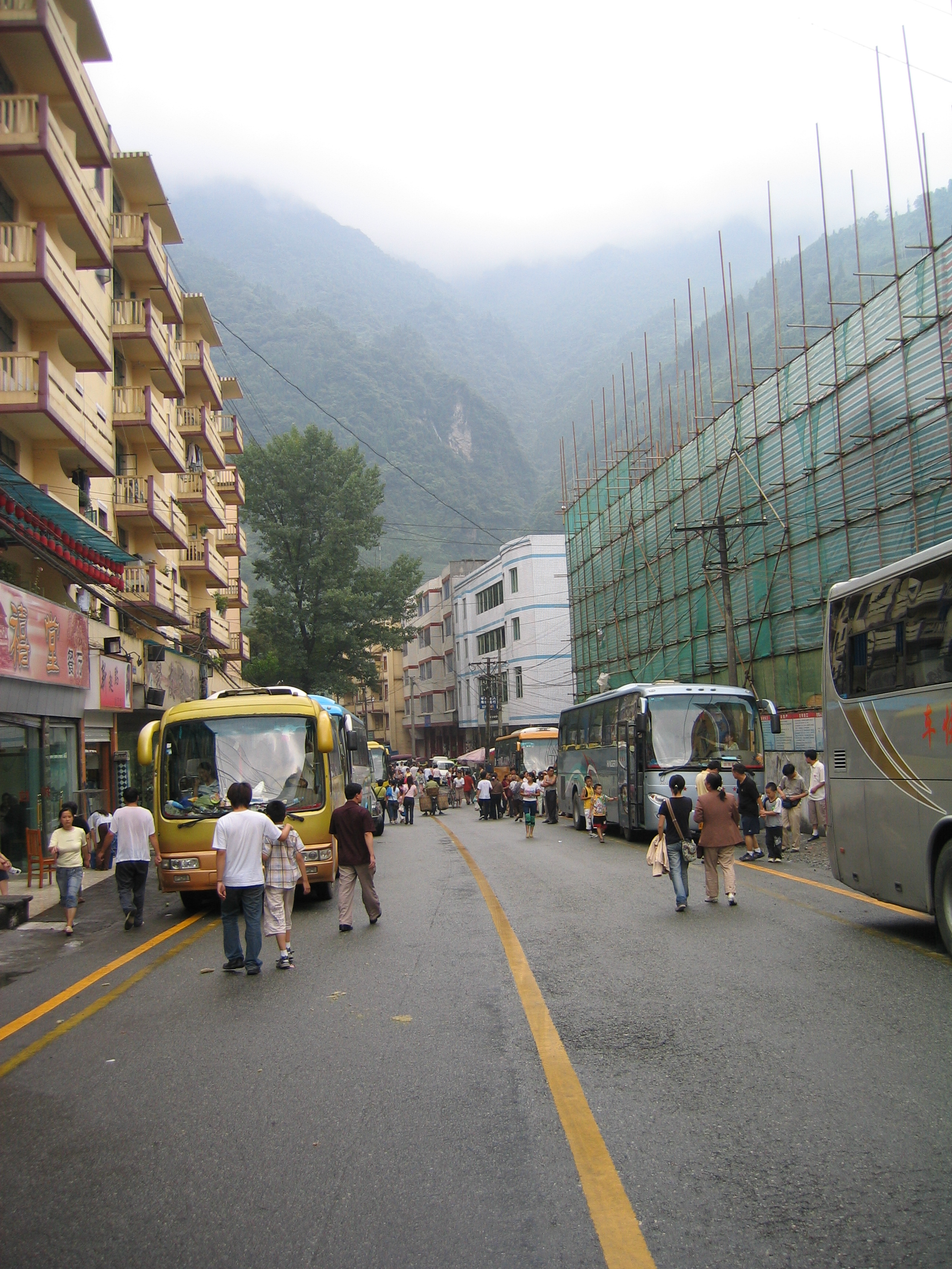
imagesize = 250px
image_caption = Street view of Yingxiu town, July 2005
flag_size =
image_
seal_size =
image_shield =
shield_size =
image_blank_emblem =
blank_emblem_type =
blank_emblem_size =.png)
mapsize = 250px
map_caption = Wenchuan County in Ngawa,Sichuan
mapsize1 =
map_caption1 =
image_dot_
dot_mapsize =
dot_map_caption =
dot_x = |dot_y =
pushpin_
pushpin_label_position =
pushpin_map_caption = Location in China
pushpin_mapsize = 250
subdivision_type = Country
subdivision_name = China
subdivision_type1 = Province
subdivision_name1 =Sichuan
subdivision_type2 = Prefecture
subdivision_name2 = Ngawa
seat_type = County seat
seat = Weizhou
parts_type =
parts_style =
parts =
p1 =
p2 =
government_footnotes =
government_type =
leader_title =
leader_name =
leader_title1 =
leader_name1 =
leader_title2 =
leader_name2 =
leader_title3 =
leader_name3 =
leader_title4 =
leader_name4 =
established_title =
established_date =
established_title1 =
established_date1 =
established_title2 =
established_date2 =
established_title3 =
established_date3 =
founder =
named_for =
area_magnitude =
unit_pref =
area_footnotes =
area_total_km2 =4084
area_land_km2 =
area_water_km2 =
area_total_dunam =
area_total_sq_mi =
area_land_sq_mi =
area_water_sq_mi =
area_water_percent =
area_urban_km2 =
area_urban_sq_mi =
area_metro_km2 =
area_metro_sq_mi =
area_blank1_title =
area_blank1_km2 =
area_blank1_sq_mi =
elevation_footnotes =
elevation_m =
elevation_ft =
elevation_max_m =
elevation_max_ft =
elevation_min_m =
elevation_min_ft =
population_as_of =2005
population_footnotes =
population_note =
population_total =106119
population_density_km2 =auto
population_density_sq_mi =
population_metro =
population_density_metro_km2 =
population_density_metro_sq_mi =
population_urban =
population_density_urban_km2 =
population_density_urban_sq_mi =
population_blank1_title =Major nationalities
population_blank1 =Han - 46%Qiang - 34% Tibetan - 18.6%
population_density_blank1_km2 =
population_density_blank1_sq_mi =
timezone = China Standard
utc_offset = +8
timezone_DST =
utc_offset_DST =
coor_type =
latd=31 |latm=29 |lats=1.64 |latNS=N
longd=103 |longm=35 |longs=18.25 |longEW=E
postal_code_type = Postal code
postal_code = 623000
area_code = 0837
website =
footnotes = Wenchuan County (zh-sp|s=汶川县|p=Wènchuān Xiàn) is a county inNgawa Tibetan and Qiang Autonomous Prefecture ,Sichuan ,China .This county has an area of 4084 square kilometers and a population of 106,119 as of 2005. [zh [http://www.abazhou.gov.cn/gxzc/gxzc-wc-xqgk.html Profile of Wenchuan County] , official website of Wenchuan County Government, visited on May 12, 2008.]
Wolong National Nature Reserve is a protected area located in Wenchuan County, which houses more than 150 highly endangered giant pandas.Natural disasters
On
May 12 ,2008 , the area was the site of theepicentre and one of the most severely hit areas of the great Sichuana, or Wenchuan earthquake (汶川地震). In Chinese, the earthquake is named after the county, making its name resonate across the nation. In the county, 15,941 people were dead, 34,583 injured, and 7,474 still missing as of June 6, 2008. cite news|url=http://news.sina.com.cn/pc/2008-05-13/326/651.html|date=2008-06-02|accessdate=2008-06-02|title=Casualties in Wenchuan Earthquake|publisher=Sina.com |language=Chinese] [cite news|url= http://www.abazhou.gov.cn/html/2008-6/7/content_200867214914578.html | title= Death Toll in Ngawa Prefecture Rose to 20,258 as of June 6, 18:00 CST |accessdate=2008-06-07 | publisher=Official website ofNgawa Prefecture Government |date=2008-06-07 |language= Chinese]Wenchuan was at the the center of one of two areas where seismic intensity were the highest at XI liedu during this earthquake.cite web
publisher=CEA
url=http://www.cea.gov.cn/manage/html/8a8587881632fa5c0116674a018300cf/_content/08_09/01/1220238314350.html
title=Seismic intensity map of the M8.0 Wenchuan earthquake (汶川8.0级地震烈度分布图)
date=2008-08-29
accessdate=2008-09-10
language=Chinese] Since the earthquake, the central government has increased fortification intensity for seismic design for this area from VII to VIII.cite paper
author=XU, Zhengzhong; WANG, Yayong; et al (徐正忠、王亚勇等)
url=http://www.morgain.com/Help/GB50011-2001/A.htm
title=Code for seismic design of buildings (GB 500011-2001) (partially revised in 2008), Appendix A ( 《建筑抗震设计规范》(GB 500011-2001) (2008 年局部修订) 附录 A 我国主要城镇抗震设防烈度、设计基本地震加速度和设计地震分组)
publisher=Ministry of Housing and Urban-Rural Development of PRC (MOHURD, 中华人民共和国住房和城乡建设部)
year=2001
accessdate=2008-09-29
language=Chinese]ubdivisions
Wenchuan County has six towns and seven townships: [zh [http://www.xzqh.org/QUHUA/51sc/3221wc.htm Profile of Wenchuan County] , visited on May 25, 2008. ]
*Towns:
**Weizhou (威州镇)
**Xuankou (漩口镇)
**Shuimo (水磨镇)
**Yingxiu (映秀镇)
**Miansi (绵虒镇)
**Wolong (卧龙镇)
*Townships:
**Keku (克枯乡)
**Longxi (龙溪乡)
**Yanmen (雁门乡)
**Caopo (草坡乡)
**Yinxing (银杏乡)
**Sanjiang (三江乡)
**Gengda (耿达乡)References
External links
* [http://www.abazhou.gov.cn/gxzc/gxzc-wc-xqgk.html Official website of Wenchuan County Government]

Wikimedia Foundation. 2010.