- Denby Bottles
-
Coordinates: 53°00′47″N 1°25′59″W / 53.013°N 1.433°W
Denby Bottles 
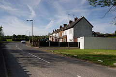
Bottle Brook Houses.
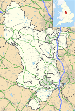
 Denby Bottles shown within Derbyshire
OS grid reference SK381463 District Amber Valley Shire county Derbyshire Region East Midlands Country England Sovereign state United Kingdom Post town RIPLEY Postcode district DE5 Police Derbyshire Fire Derbyshire Ambulance East Midlands EU Parliament East Midlands List of places: UK • England • Derbyshire Denby Bottles is a settlement in Derbyshire, England. It is located on the B6179 road in Denby. Denby Bottles Methodist Church is in Danesby Crescent. Each of the cottages have a segment of garden which is across the road and the brook.
Categories:- Hamlets in Derbyshire
- Derbyshire geography stubs
Wikimedia Foundation. 2010.

