- Oxcroft
-
Coordinates: 53°15′25″N 1°16′48″W / 53.257°N 1.280°W
Oxcroft 
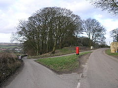
Oxcroft Lane.
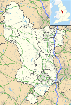
 Oxcroft shown within Derbyshire
OS grid reference SK481735 District Bolsover Shire county Derbyshire Region East Midlands Country England Sovereign state United Kingdom Post town CHESTERFIELD Postcode district S44 Police Derbyshire Fire Derbyshire Ambulance East Midlands EU Parliament East Midlands List of places: UK • England • Derbyshire A small hamlet in Bolsover (district), Derbyshire, located to the north of Bolsover, about 1-2 miles along the Clowne-New Houghton Road. It consists of a few farms and cottages.
Etymology Probably simply meaning an Ox cottage/farm. Ox = Ox, Croft = Farm/Cottage.
Categories:- Derbyshire geography stubs
- Towns and villages of the Peak District
- Hamlets in Derbyshire
Wikimedia Foundation. 2010.

