- Grise Fiord Airport
Infobox Airport
name = Grise Fiord Airport
IATA = YGZ
ICAO = CYGZ
type = Public
owner =
operator = Government of Nunavut
city-served =
location =Grise Fiord, Nunavut
elevation-f = 146
elevation-m = 45
coordinates = coord|76|25|34|N|082|54|33|W|type:airport|display=inline
website =
r1-number = 14T/32T
r1-length-f = 1,950
r1-length-m = 594
r1-surface =Gravel /GrittySnow
stat-year = 2007
stat1-header = Aircraft Movements
stat1-data = 253
footnotes = Source:Canada Flight Supplement CFS]
Movements fromStatistics Canada . [http://www.tc.gc.ca/pol/en/Report/tp577/vol2/51-210-XIE2008001.pdf Aircraft Movement Statistics: Airports Without Air Traffic Control Towers (TP 577)] ]Grise Fiord Airport Airport codes|YGZ|CYGZ is located at Grise Fiord,
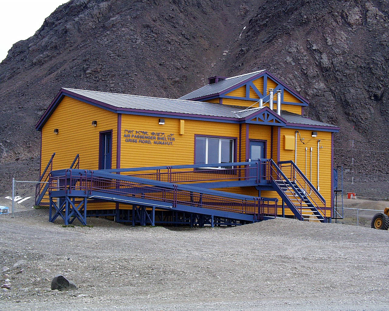
Nunavut ,Canada , and is operated by the Government of Nunavut. The only building at this airport is the Air Passenger Shelter and the companies that operate there areAir Nunavut using the Super King Air 200 andKenn Borek Air using the DHC-6 Twin Otter planes. Flights to this airport are usually from Resolute and most of them only carry cargo with few to no passengers.References
External links
Wikimedia Foundation. 2010.