- Chief Lake, Wisconsin
-
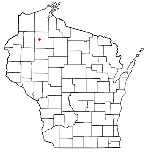
Chief Lake, Wisconsin — CDP — Location of Chief Lake, Wisconsin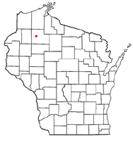
Coordinates: 45°54′4″N 91°20′17″W / 45.90111°N 91.33806°WCoordinates: 45°54′4″N 91°20′17″W / 45.90111°N 91.33806°W Country United States State Wisconsin County Sawyer Area – Total 23.6 sq mi (61.2 km2) – Land 21.1 sq mi (54.6 km2) – Water 2.5 sq mi (6.5 km2) Elevation[1] 1,339 ft (408 m) Population (2010) – Total 583 – Density 24.7/sq mi (9.5/km2) Time zone Central (CST) (UTC-6) – Summer (DST) CDT (UTC-5) FIPS code 55-14440[2] GNIS feature ID 1867655[1] Chief Lake is a census-designated place (CDP) in Sawyer County, Wisconsin, United States. The population was 583 at the 2010 census.
Geography
Chief Lake is located at 45°54′4″N 91°20′17″W / 45.90111°N 91.33806°W (45.901133, -91.338160)[3].
According to the United States Census Bureau, the CDP has a total area of 23.6 square miles (61.2 km²), of which, 21.1 square miles (54.6 km²) of it is land and 2.5 square miles (6.5 km²) of it (10.67%) is water.
Demographics
As of the census[2] of 2000, there were 625 people, 211 households, and 158 families residing in the CDP. The population density was 29.6 people per square mile (11.4/km²). There were 430 housing units at an average density of 20.4/sq mi (7.9/km²). The racial makeup of the CDP was 22.56% White, 0.16% African American, 76.96% Native American, and 0.32% from two or more races. Hispanic or Latino of any race were 0.96% of the population.
There were 211 households out of which 35.1% had children under the age of 18 living with them, 40.8% were married couples living together, 22.7% had a female householder with no husband present, and 25.1% were non-families. 20.4% of all households were made up of individuals and 9.0% had someone living alone who was 65 years of age or older. The average household size was 2.95 and the average family size was 3.30.
In the CDP the population was spread out with 32.8% under the age of 18, 8.3% from 18 to 24, 25.9% from 25 to 44, 20.3% from 45 to 64, and 12.6% who were 65 years of age or older. The median age was 35 years. For every 100 females there were 97.2 males. For every 100 females age 18 and over, there were 101.0 males.
The median income for a household in the CDP was $33,125, and the median income for a family was $32,500. Males had a median income of $28,182 versus $21,625 for females. The per capita income for the CDP was $12,486. About 8.8% of families and 10.0% of the population were below the poverty line, including 4.4% of those under age 18 and 7.0% of those age 65 or over.
References
- ^ a b "US Board on Geographic Names". United States Geological Survey. 2007-10-25. http://geonames.usgs.gov. Retrieved 2008-01-31.
- ^ a b "American FactFinder". United States Census Bureau. http://factfinder.census.gov. Retrieved 2008-01-31.
- ^ "US Gazetteer files: 2010, 2000, and 1990". United States Census Bureau. 2011-02-12. http://www.census.gov/geo/www/gazetteer/gazette.html. Retrieved 2011-04-23.
Municipalities and communities of Sawyer County, Wisconsin City 
Villages Towns CDPs Chief Lake | Little Round Lake | New Post | Reserve | Stone Lake‡
Unincorporated
communitiesDraper | Edgewater | Loretta | Northwoods Beach | Ojibwa | Oxbo | Yarnell
Footnotes ‡This populated place also has portions in an adjacent county or counties
Categories:- Populated places in Sawyer County, Wisconsin
- Census-designated places in Wisconsin
- Populated places in Wisconsin with Native American majority populations

Wikimedia Foundation. 2010.