- Bukowica Range
Geobox|Mountain
name = Bukowica Range
native_name = Pasmo Bukowicy
other_name = Bukowica
category =
etymology = Its name comes from the west slavic dialect word "buk", meaning "beech " ("beech es range")
nickname = Bukowica
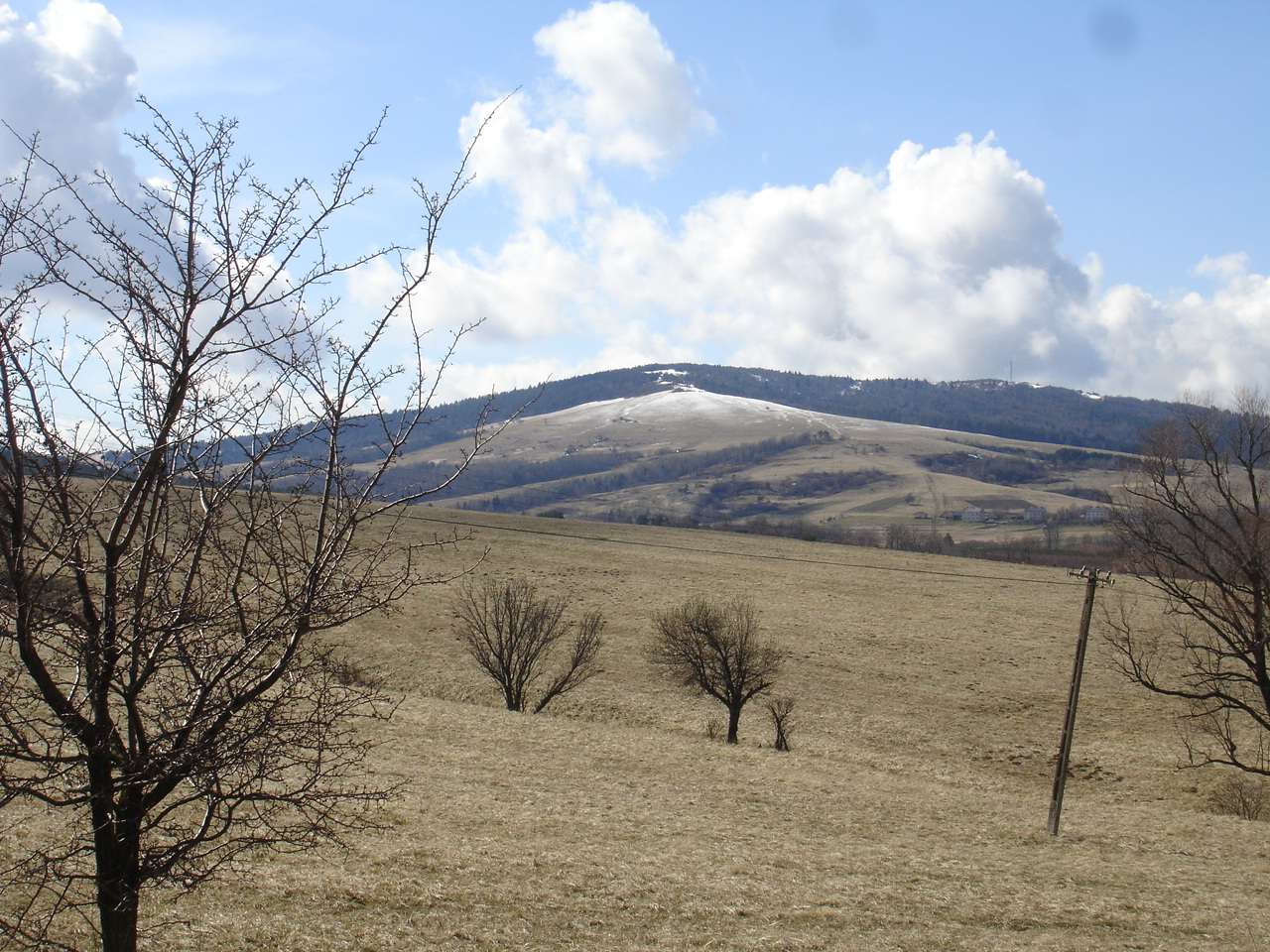
image_caption = Northern summit
country = POL
country1 =
state =
region = Podkarpacie
district =Sanok County
municipality =
range =Low Beskids -Pogórze Bukowskie
location =
map_caption = Location in Poland
map_background = Slovakia demis.png
map1 =
map1_caption = Location in the Bukowskie Region of Poland
map1_background =
map1_locator =
website =
commons = Pogórze Bukowskie
footnotes =Bukowica Range (pl. "Pasmo Bukowicy" [Prof.
Jerzy Kondracki . Geografia fizyczna Polski. Państwowe Wydawnictwo Naukowe. Warszawa. 1988. ISBN 83-01-02323-6] ) part of thePogórze Bukowskie andLow Beskids in southernPoland . The "Bukowica" created by the long mountain massif, situated in the eastern part of the Beskid Niski between the valleys of theWisłok and Osławica rivers. The Bukowica Range separating the westLow Beskids from the eastPogórze Bukowskie .It consists of a larger ridge of Bukowica with summits as Skibce (776 m. above the sea level ) in the north-west and Tokarnia (777 m. above the sea level ) in the south-east and the smaller range of Kamien Peak (718 m. above the sea level ). Bukowica is rather a monotonous mountainous bank and is heavily except Tokarnia covered with forest it has a panoramic view in all directions. The southern part is a steep rocky wall, while the other side consist of less steep rocky fields.
The Bukowica Range separating the west
Low Beskids from the eastPogórze Bukowskie .Division
* Tokarnia Peak (778 m. high, above the sea level),
* Zrubań Peak (778 m.),
* Kamień Peak (717 m.),
* Kiczera Peak (640 m.)Hiking trails
*
European walking route E8
**Iwonicz-Zdrój –Rymanów-Zdrój - Puławy – Tokarnia (778 m) – Przybyszów – Kamień (717 m) –Komańcza (Główny Szlak Beskidzki)
**Pasmo Bukowicy -Kanasiówka (823 m) –Wisłok Wielki – Tokarnia (778 m), 1 km –Wola Piotrowa -Komańcza -Cisna -Tarnica - Wołosate.See also
*
Bieszczady National Park References

Wikimedia Foundation. 2010.