- Dheng
-
Dheng
Dhang
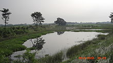
— village — Coordinates 26°43′N 85°20′E / 26.72°N 85.33°ECoordinates: 26°43′N 85°20′E / 26.72°N 85.33°E Country India State Bihar District(s) Sitamarhi Nearest city Sitamarhi Parliamentary constituency Sheohar Assembly constituency Riga Time zone IST (UTC+05:30)  View towards west from Baghmati Bandh
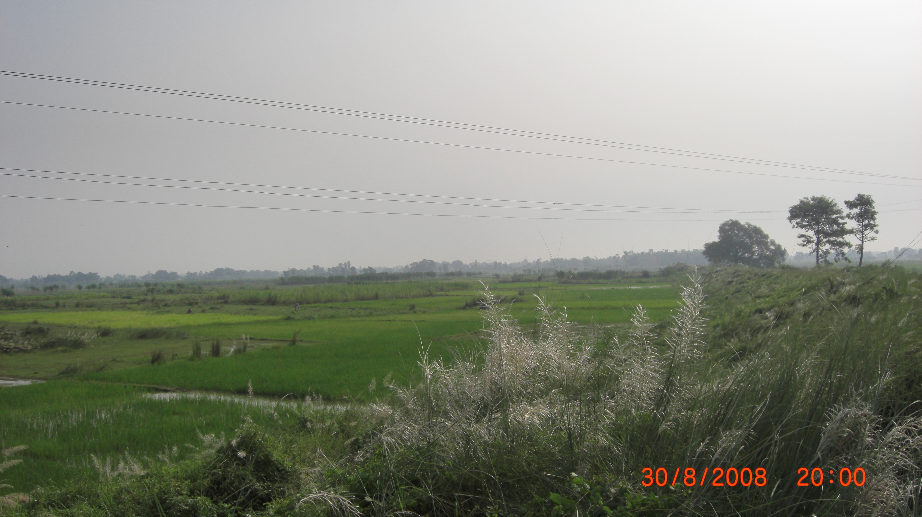
Dheng, which is sometimes called Dhang is situated 25 km. away towards west from Sitamarhi on the bank of the Bagmati River, which is connected to district center via broad-gauge rail network. In the east of Dheng is Maniyari and Vasant Gachhi Tola. To the west Bel, Bengahi and Adamwan. To the north is Nepal and Jamla, and to the south Gamhariya and Kharahia tola.
The average height of village from sea level is 75 Meters. There are four temples in the village, two of which are devoted to Lord Krishna and Hanuman. There is one primary school in the village with library facilities operated by children.
Dheng is the north-most village of India on the border with Nepal. It happens to be the junction of Sitamarhi-Bairgania road link because river Bagmati which flows through the village separates these two towns. Recently, CM Nitish Kumar inaugurated Baghmati road bridge called Banshi-Setu on July 12, 2010. This bridge named after Banshi Shah who sacrificed his life on November 20, 1997 in the process of putting demand of this very bridge in front of Bihar government.[1] Prior to this, boat was the only source to cross the river for four-wheeler vehicles.
Most of the people are involved in Agriculture and Animal husbandry. Literacy rate of the village is quite low and the absence of secondary level small scale industry is main cause of poverty and unemployment of the village. A large number of youths works in Delhi, Kolkata and Punjab as migrant labours.
Contents
Communication
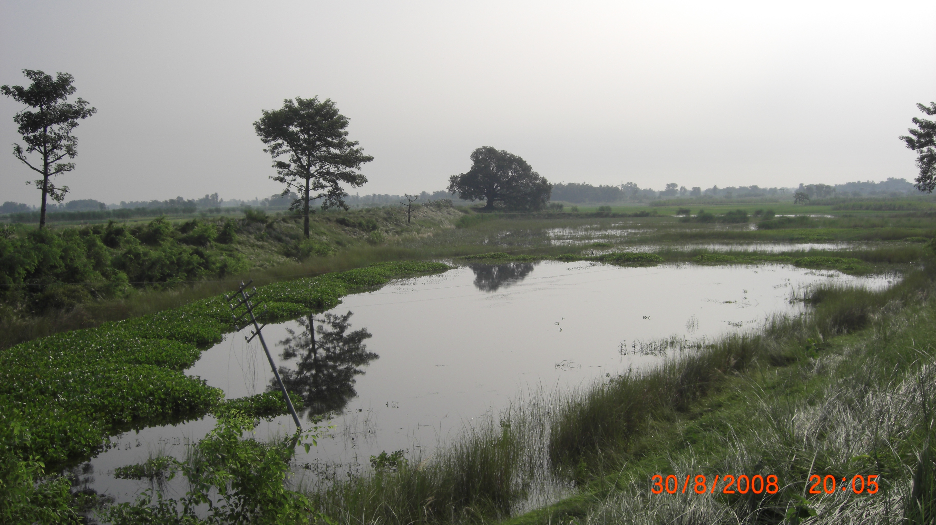
 View towards north-east from Baghmati Bandh
Dheng is connected to phone and electricity. The postal code is 843315 and telephone code is (+91)6226. BSNL and Airtel are two available mobile service providers. The official homepage of Dheng can be found on following link.[2] This is one of the most flood prone villages of Sitamarhi.[citation needed] In older days Dheng Railway Station was situated in this village but later, because of problems with frequent floods, the station was moved to a nearby village called Barharwa, which is one and half kilometer away from the center of the village.
Industry
The most important agricultural products are
- Sugarcane
- Paddy
- Wheat
- Lentil
- Maize
- Pointed gourd
- Potato
- Banana
- Onion
- Mango
- Milk.
Organizations
Public organization: There are three non-political organization devoted to overall development of village.
- Gram Vikas Samiti, Dheng
- Nehru Yuva Kendra, Dheng
- Kandeel committee
Important festivals
- Baghmati holy deep
- Chhath
- Diwali
- Durgapuja
- Holi
References
Categories:- Villages in Sitamarhi district
- Bihar geography stubs


Wikimedia Foundation. 2010.