- Glandford Watermill
Geobox|Watermill
name = Glandford Watermill
category = Watermill
.jpg)
image_caption = Glanford Watermill, south elevation
symbol =
country =England
state =Norfolk
region =East of England
district =North Norfolk
municipality =Glandford
location =River Glaven
elevation =
prominence =
lat_d =
lat_m =
lat_s =
lat_NS =
long_d =
long_m =
long_s =
long_EW =
length =
length_orientation =
width =
width_orientation =
height =
depth =
volume =
area =
author =
style =
material =Brick and Flint, Pantile Roof
established = Present mill 1907
date =
owner =
public =
visitation =Private Residence
visitation=
access =
free =
free_type =
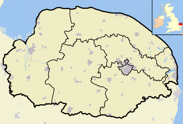
map_caption = Glandford Watermill within North Norfolk
map_background =
map_locator =
map_locator_x =50
map_locator_y =7
website =
footnotes =Glandford watermill is situated on the
River Glaven a little north of the village ofGlandford within the english county ofNorfolk . Glandford is in the civil parish ofWiveton within the district ofNorth Norfolk [ "OS Explorer Map 24” – Norfolk Coast Central. ISBN 0 319 21726 4 ] ..Description
This watermill was built in 1907 [ [http://www.norfolkmills.co.uk/Watermills/glandford.html] Glandford watermill Website] but there had been a mill here long before this date. The map produced by Faden’s in 1797 [ [http://www.norfolkmills.co.uk/Watermills/glandford.html] Glandford watermill Website] records a mill at Glanford on the river Glaven. The present mill is constructed with Norfolk red brick and flints that had been taken from a local gravel pit on the eastern side of the Glaven valley above glandford. The roof is of Norfolk red pantiles. The mill stands over three story plus a loft. The mill pond is situated to the south of the mill.
History
The first recorded miller at Glanford was William Cook in 1819 [ [http://www.norfolkmills.co.uk/Watermills/glandford.html] Glandford watermill Website] . A letter written by him in 1824 recordes that the tides running up the Glaven from the near-by coast would pass through the water wheel into the mill dam beyond. This happened virtually daily until 1823 and in earlier times it is probable that in times of high tides, sea water came in as far as Bayfield. When the present mill was first built in 1907 it was owned by Sir Alfred Jodrell who lived at Bayfield Hall [ [http://www.norfolkmills.co.uk/Watermills/glandford.html] Glandford watermill Website] . He is recorded as keeping the watermill well maintained. The mill finally ceased operation some time around the second world war. In 1969 the mill was sold and by then the waterwheel had been removed. The mill building was used as a farm store. The watermill has since been converted into a residence and in 1971 was also used in the running of a fish farming business [ [http://www.norfolkmills.co.uk/Watermills/glandford.html] Glandford watermill Website] .
References
Wikimedia Foundation. 2010.