- Gauley Bridge, West Virginia
Infobox Settlement
official_name = Gauley Bridge, West Virginia
settlement_type =Town
nickname =
motto =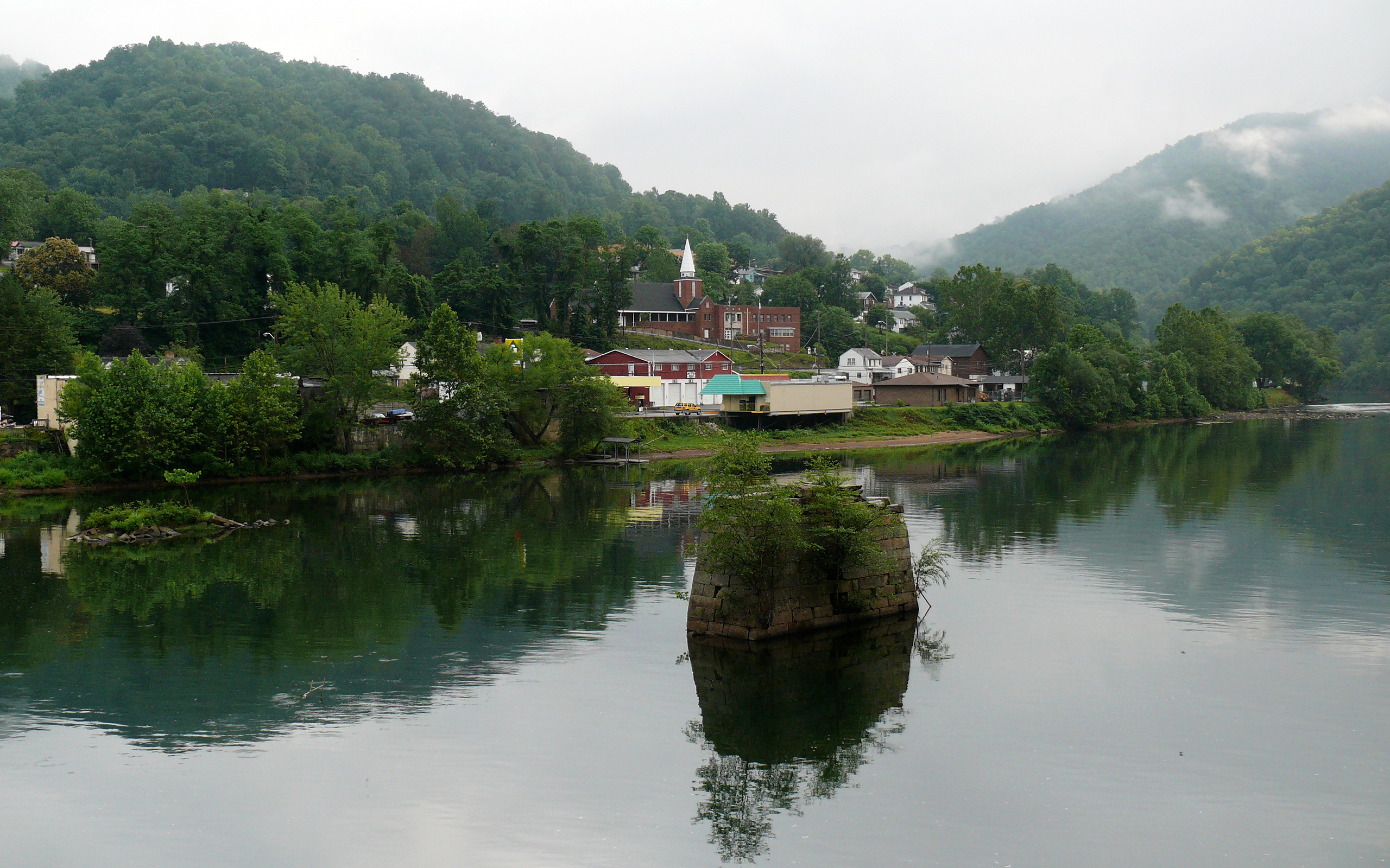
imagesize = 300px
image_caption =
image_
mapsize = 300px
map_caption = Location of Gauley, West Virginia
mapsize1 =
map_caption1 =subdivision_type = Country
subdivision_name =United States
subdivision_type1 = State
subdivision_name1 =West Virginia
subdivision_type2 = County
subdivision_name2 = Fayettegovernment_footnotes =
government_type =
leader_title =
leader_name =
leader_title1 =
leader_name1 =
established_title =
established_date =area_footnotes =
area_magnitude =
area_total_km2 = 4.3
area_land_km2 = 4.2
area_water_km2 = 0.1
area_total_sq_mi = 1.6
area_land_sq_mi = 1.6
area_water_sq_mi = 0.0population_as_of = 2000
population_footnotes =
population_total = 738
population_density_km2 = 177.1
population_density_sq_mi = 458.6timezone = Eastern (EST)
utc_offset = -5
timezone_DST = EDT
utc_offset_DST = -4
elevation_footnotes =
elevation_m = 247
elevation_ft = 810
latd = 38 |latm = 10 |lats = 4 |latNS = N
longd = 81 |longm = 11 |longs = 49 |longEW = Wpostal_code_type =
ZIP code
postal_code = 25085
area_code = 304
blank_name = FIPS code
blank_info = 54-30364GR|2
blank1_name = GNIS feature ID
blank1_info = 1554543GR|3
website =
footnotes =Gauley Bridge is a town in Fayette County,
West Virginia ,United States . The population was 738 at the 2000 census. TheKanawha River is formed at Gauley Bridge by the confluence of the New and Gauley Rivers. Two miles to the southeast of Gauley Bridge, inGlen Ferris, West Virginia , isKanawha Falls , a popular stopping point on Midland Trail Scenic Highway.Gauley Bridge was close to the site of the
Hawk's Nest incident , in which hundreds of lives were lost in the 1920s and 1930s.Geography
Gauley Bridge is located at coor dms|38|10|4|N|81|11|49|W|city (38.167815, -81.197079)GR|1.
According to the
United States Census Bureau , the town has a total area of 4.2 km² (1.6 mi²). 4.2 km² (1.6 mi²) of it is land and 0.1 km² (0.04 mi²) of it (2.44%) is water.Demographics
As of the
census GR|2 of 2000, there were 738 people, 325 households, and 205 families residing in the town. Thepopulation density was 177.0/km² (458.6/mi²). There were 374 housing units at an average density of 89.7/km² (232.4/mi²). The racial makeup of the town was 97.43% White, 0.68% African American, 0.68% from other races, and 1.22% from two or more races. Hispanic or Latino of any race were 1.36% of the population.There were 325 households out of which 28.0% had children under the age of 18 living with them, 42.8% were married couples living together, 15.1% had a female householder with no husband present, and 36.9% were non-families. 31.4% of all households were made up of individuals and 13.8% had someone living alone who was 65 years of age or older. The average household size was 2.26 and the average family size was 2.80.In the town the population was spread out with 22.6% under the age of 18, 11.7% from 18 to 24, 26.3% from 25 to 44, 23.3% from 45 to 64, and 16.1% who were 65 years of age or older. The median age was 35 years. For every 100 females there were 88.3 males. For every 100 females age 18 and over, there were 86.0 males.
The median income for a household in the town was $22,500, and the median income for a family was $25,987. Males had a median income of $26,250 versus $19,688 for females. The
per capita income for the town was $11,820. About 26.7% of families and 33.4% of the population were below thepoverty line , including 49.7% of those under age 18 and 24.7% of those age 65 or over.Transportation
U.S. Route 60 ,WV 16 ,andWV 39 all intersect in Downtown Gauley Bridge.References
Gauley Bridge is well known as a speed trap. External links
Wikimedia Foundation. 2010.