- Westport, Washington
Infobox Settlement
official_name = Westport, Washington
settlement_type =City
nickname =
motto =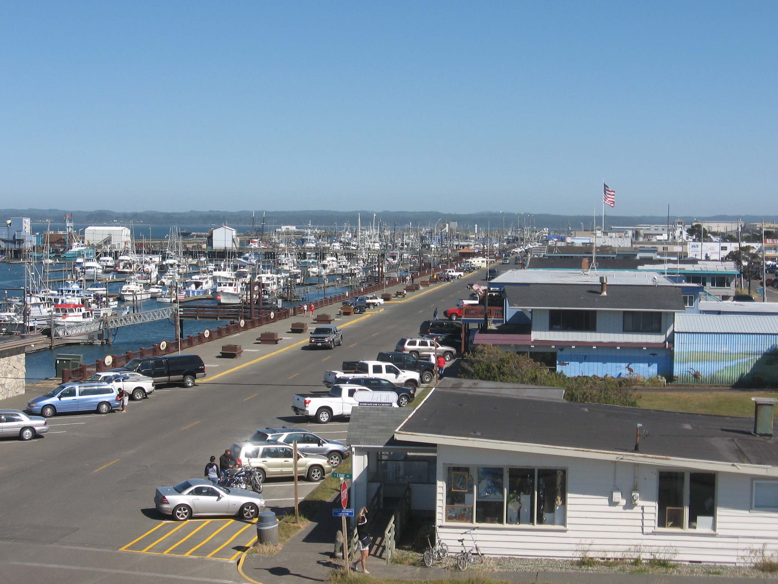
imagesize =
image_caption =
image_
image_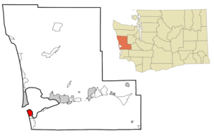
mapsize = 250px
map_caption = Location of Westport, Washington
mapsize1 =
map_caption1 =subdivision_type = Country
subdivision_name =United States
subdivision_type1 = State
subdivision_name1 =Washington
subdivision_type2 = County
subdivision_name2 = Grays Harborgovernment_footnotes =
government_type =
leader_title =
leader_name =
leader_title1 =
leader_name1 =
established_title =
established_date =unit_pref = Imperial
area_footnotes =area_magnitude =
area_total_km2 = 11.0
area_land_km2 = 9.3
area_water_km2 = 1.6
area_total_sq_mi = 4.2
area_land_sq_mi = 3.6
area_water_sq_mi = 0.6population_as_of = 2000
population_footnotes =
population_total = 2137
population_density_km2 = 228.9
population_density_sq_mi = 592.9timezone = Pacific (PST)
utc_offset = -8
timezone_DST = PDT
utc_offset_DST = -7
elevation_footnotes =
elevation_m = 7
elevation_ft = 23
latd = 46 |latm = 53 |lats = 27 |latNS = N
longd = 124 |longm = 6 |longs = 36 |longEW = Wpostal_code_type =
ZIP code
postal_code = 98595
area_code = 360
blank_name = FIPS code
blank_info = 53-77630GR|2
blank1_name = GNIS feature ID
blank1_info = 1531536GR|3
website =
footnotes =Westport is a city in
Grays Harbor County ,Washington ,United States . The city's population was 2,137 at the 2000 census.Westport is located on a peninsula on the south side of the entrance to
Grays Harbor from thePacific Ocean . The public Westport Marina is the largestmarina on the outer coast of the United States'sPacific Northwest . The marina is home to a large commercial fishing fleet and several recreational charter fishing vessels. A summer-only passenger ferry, discontinued in 2008, previously connected the town to Ocean Shores, across the mouth of the harbor to the north.History
Westport was officially incorporated on
June 26 ,1914 . Names for the area in the past includePeterson's Point ,Chehalis City andFt. Chehalis . The latter name is for a fort established in 1860 before the town was founded. The area was used regularly during the summer by local Native American tribes (most likely the Shoalwater Bay tribe) beforeThomas Barker Speake and his family arrived early in the summer of 1857.Geography
Westport is located at coor dms|46|53|27|N|124|6|36|W|city (46.890803, -124.109926)GR|1.
According to the
United States Census Bureau , the city has a total area of 4.2square mile s (11.0km² ), of which, 3.6 square miles (9.3 km²) of it is land and 0.6 square miles (1.6 km²) of it (14.86%) is water.Demographics
As of the
census GR|2 of 2000, there were 2,137 people, 983 households, and 547 families residing in the city. Thepopulation density was 592.9 people per square mile (229.2/km²). There were 1,358 housing units at an average density of 376.8/sq mi (145.6/km²). The racial makeup of the city was 92.75% White, 0.33% African American, 3.09% Native American, 0.94% Asian, 0.05% Pacific Islander, 0.47% from other races, and 2.39% from two or more races. Hispanic or Latino of any race were 2.99% of the population.There were 983 households out of which 23.2% had children under the age of 18 living with them, 42.9% were married couples living together, 8.7% had a female householder with no husband present, and 44.3% were non-families. 34.8% of all households were made up of individuals and 14.8% had someone living alone who was 65 years of age or older. The average household size was 2.16 and the average family size was 2.79.
In the city the population was spread out with 22.0% under the age of 18, 6.7% from 18 to 24, 24.8% from 25 to 44, 27.3% from 45 to 64, and 19.1% who were 65 years of age or older. The median age was 43 years. For every 100 females there were 98.1 males. For every 100 females age 18 and over, there were 91.9 males.
The median income for a household in the city was $32,037, and the median income for a family was $40,037. Males had a median income of $33,173 versus $23,889 for females. The
per capita income for the city was $17,362. About 9.0% of families and 14.3% of the population were below thepoverty line , including 23.4% of those under age 18 and 4.6% of those age 65 or over.References
External links
* [http://ci.westport.wa.us Official Website]
* [http://westportwa.com Westport Washington - Business Listings, Events Schedule, Images, Classifieds, Weather and more]
Wikimedia Foundation. 2010.