- Nantahala River
-
Coordinates: 35°01′22″N 83°30′18″W / 35.022687°N 83.50502°W
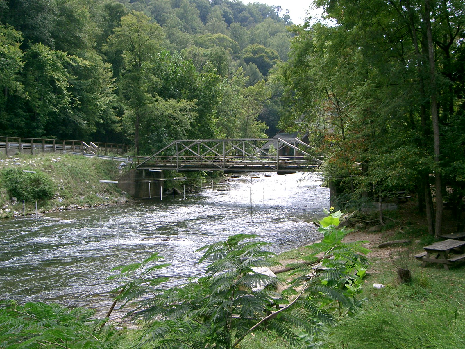
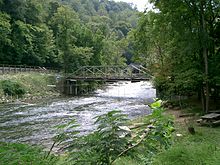 Nantahala Bridge, showing the high water level even in late summer (September).
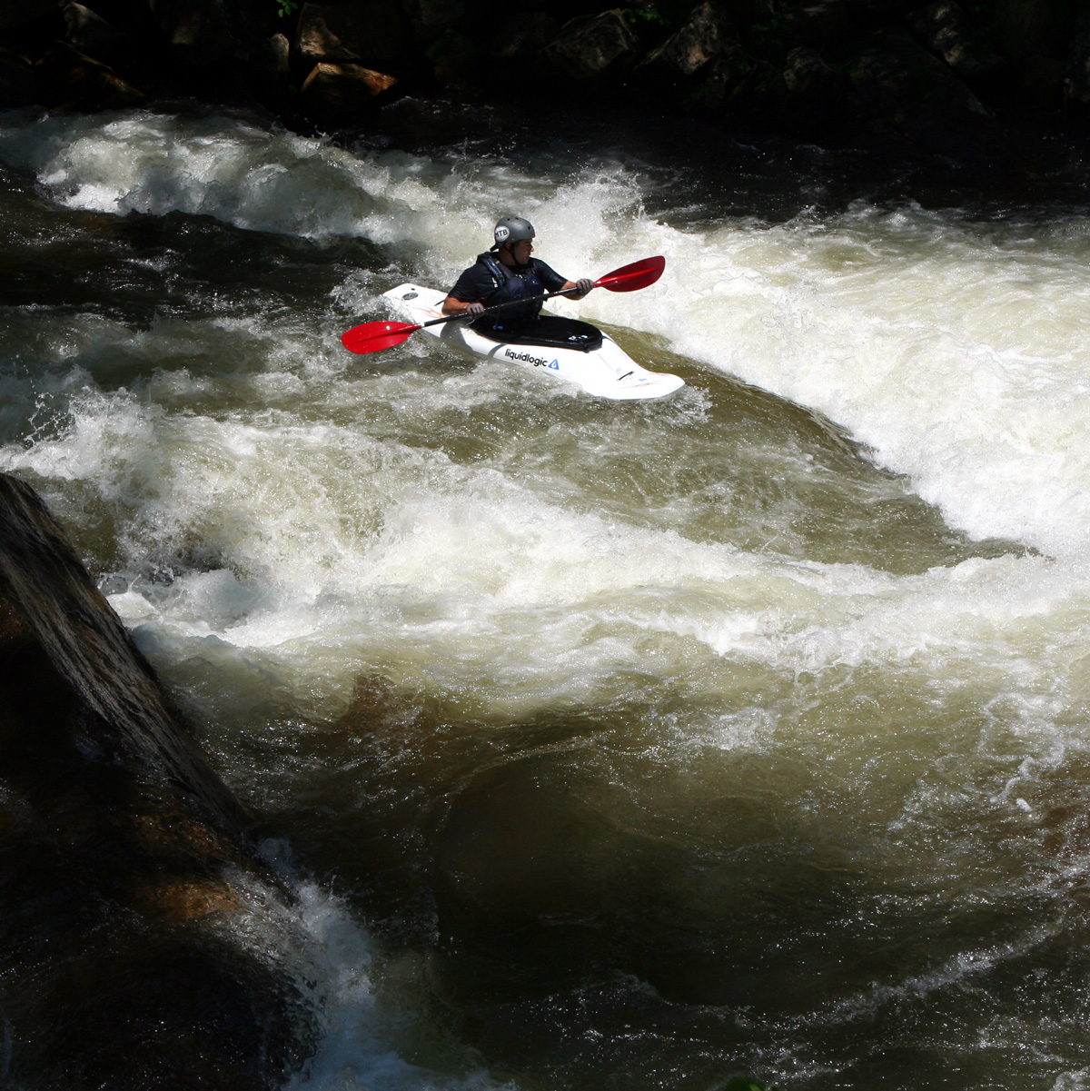
 Playboater on the Nantahala River
 Mist in Nantahala Gorge, where cold water is released from the dam
The Nantahala River is a river in western North Carolina in the United States, within the Nantahala National Forest, and near the Great Smoky Mountains National Park. Two-lane U.S. Highway 19/74, once part of the Trail of Tears, runs along the river, picnic areas dotting the route.
The word "Nantahala" comes from the Cherokee language and means "Land of the Noonday Sun." The river runs through a narrow and steep gorge where in some areas the sun only reaches the ground when it is directly overhead during the middle of the day.
The Nantahala River is a very popular trout fishing destination. North Carolina Game and Fish has named the Nantahala River one of North Carolina's ten best trout streams. It has also been touted as a Top 100 trout stream by Trout Unlimited.[1]
Contents
Paddling
This river is popular with whitewater rafters, canoeists, and kayakers. Commercial rafting began in 1972 when the Nantahala Outdoor Center opened, leading to thousands of paddlers annually running the river.
Lower Run
The raftable part is 8 miles long and has Class II and III rapids. It extends from the Nantahala Powerhouse to the town of Wesser. Private paddlers must pay a user fee, and twelve commercial outfitters are permitted by the USDA Forest Service to run guided trips. Two launch sites provide access. The main access is just downstream of the Nantahala Powerhouse and upstream of "Patton's Run". The other is at the Ferebee Memorial Picnic Area near where US 74 crosses the river. There are two take-out points, one above and one below "Upper Nantahala Falls." Notable rapids include "Patton's Run," "Quarry," "Whirlpool," "Surfers," "Bulls Run," and "Upper Nantahala Falls." Just beyond the main take-out point in Wesser lies Lower Nantahala Falls, a Class VI rapid that drops off at about a 45 degree angle with many sharp rocks. Immediately after this point the Nantahala flows into Fontana Lake.
The flow rate of this section of the Nantahala is dependent on releases from Nantahala Lake which is controlled by Duke Energy. The Nantahala dam is a diversion dam; the water that normally flows through the river is diverted through a 5.5 mile penstock before flowing through the Nantahala Powerhouse and back into the original river channel far downstream. The river is "on" when Duke Energy is generating electricity and releasing water. From late spring to early fall Duke Energy follows a regular release schedule [2] to help support support commercial rafting.
The opening of the main penstock is near the bottom of the Nantahala dam, and is underground for most of its length. Because of this the discharged water is always at or near the average groundwater temperature, which in this region is in the mid 50s (F).
Upper Run
The upper section of the river extends from the Nantahala Dam to the Nantahala Powerhouse and is called the Cascades or Upper Nanty by local paddlers. The regular Nantahala River flow is diverted through a penstock so the only water normally flowing through this section comes from tributaries like Dick's Creek. However, during periods of very wet weather, or the rare long-term outage at the powerhouse[3], the river flows full. This section of the channel is narrow and features several Class III+ to IV+ rapids including "The Horns of God".
External links
References
Categories:- Rivers of North Carolina
- Geography of Swain County, North Carolina
- Rivers used for whitewater recreation
- Rivers on the Appalachian Trail

Wikimedia Foundation. 2010.