- Rupert, Vermont
Infobox Settlement
official_name = Rupert, Vermont
settlement_type = Town
nickname =
motto =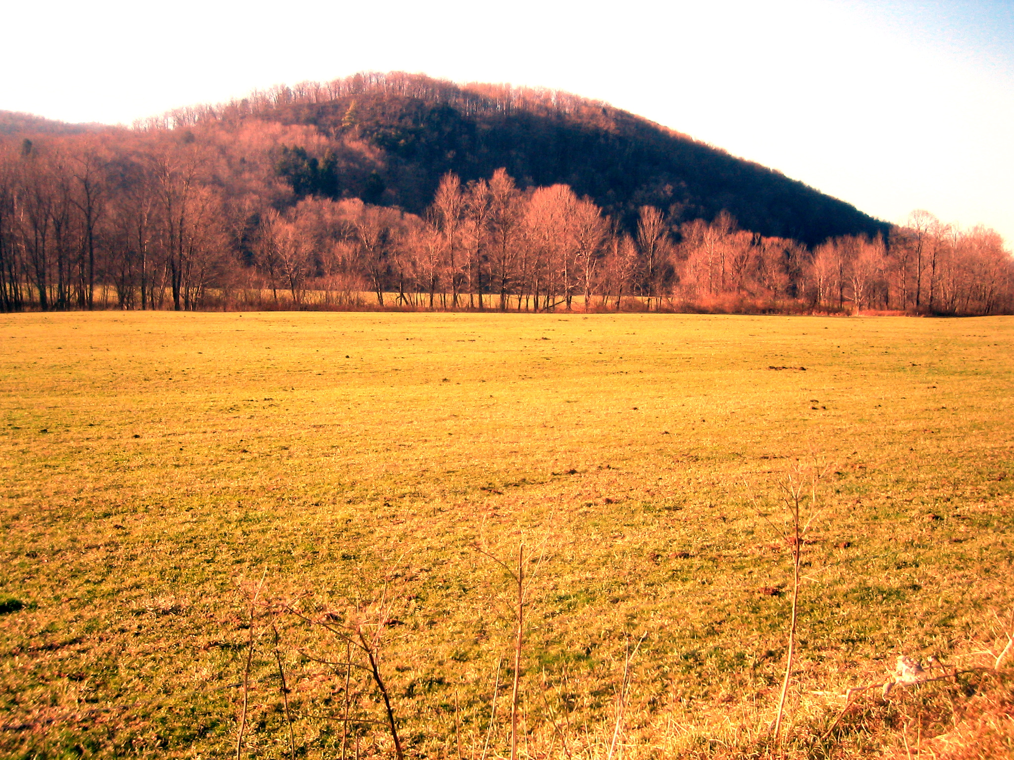
imagesize = 250px
image_caption = Countryside in eastern Rupert
image_
mapsize = 250px
map_caption = Rupert, Vermont
mapsize1 =
map_caption1 =subdivision_type = Country
subdivision_name =United States
subdivision_type1 = State
subdivision_name1 =Vermont
subdivision_type2 = County
subdivision_name2 = Benningtongovernment_footnotes =
government_type =
leader_title =
leader_name =
leader_title1 =
leader_name1 =
established_title =
established_date =unit_pref = Imperial
area_footnotes =area_magnitude =
area_total_km2 = 115.5
area_land_km2 = 115.5
area_water_km2 = 0.0
area_total_sq_mi = 44.6
area_land_sq_mi = 44.6
area_water_sq_mi = 0.0population_as_of = 2000
population_footnotes =
population_total = 704
population_density_km2 = 6.1
population_density_sq_mi = 15.8timezone = Eastern (EST)
utc_offset = -5
timezone_DST = EDT
utc_offset_DST = -4
elevation_footnotes =
elevation_m = 316
elevation_ft = 1037
latd = 43 |latm = 16 |lats = 24 |latNS = N
longd = 73 |longm = 11 |longs = 17 |longEW = Wpostal_code_type =
ZIP code
postal_code = 05768
area_code = 802
blank_name = FIPS code
blank_info = 50-61000GR|2
blank1_name = GNIS feature ID
blank1_info = 1462192GR|3
website =
footnotes =Rupert is a town in Bennington County,
Vermont ,United States . The population was 704 at the 2000 census.Geography
According to the
United States Census Bureau , the town has a total area of 44.6square mile s (115.5km² ), of which, 44.6 square miles (115.5 km²) of it is land and 0.02% is water.History
Many historians agree that a man named Benning Wentwort gave Rupert its name, naming it after Germany's
Prince Rupert (1619-1682).One of Rupert's first settlers was Reuben Harmon, a metalsmith, who was given the right to mint coins, called
Vermont coppers , for theRepublic of Vermont . Harmon's Mint is still standing today in East Rupert on a small stream known as Hagar's Brook.Demographics
As of the
census GR|2 of 2000, there were 704 people, 295 households, and 205 families residing in the town. Thepopulation density was 15.8 people per square mile (6.1/km²). There were 449 housing units at an average density of 10.1/sq mi (3.9/km²). The racial makeup of the town was 99.72% White, 0.14% Native American and 0.14% Asian. Hispanic or Latino of any race were 0.99% of the population.There were 295 households out of which 28.8% had children under the age of 18 living with them, 62.7% were couples living together and joined in either
marriage or civil union, 4.7% had a female householder with no husband present, and 30.2% were non-families. 24.4% of all households were made up of individuals and 14.2% had someone living alone who was 65 years of age or older. The average household size was 2.39 and the average family size was 2.86.In the town the population was spread out with 22.3% under the age of 18, 5.1% from 18 to 24, 23.9% from 25 to 44, 26.4% from 45 to 64, and 22.3% who were 65 years of age or older. The median age was 44 years. For every 100 females there were 90.3 males. For every 100 females age 18 and over, there were 86.7 males.
The median income for a household in the town was $36,429, and the median income for a family was $41,339. Males had a median income of $27,500 versus $21,797 for females. The
per capita income for the town was $20,480. About 2.7% of families and 6.1% of the population were below thepoverty line , including 8.4% of those under age 18 and 4.8% of those age 65 or over.Notable residents
*
Frederick Buechner
*Robert Cochran , colonel of theGreen Mountain Boys
*Israel Smith , lawyer and politician, 4th Governor of Vermont.References
External links
*
Wikimedia Foundation. 2010.