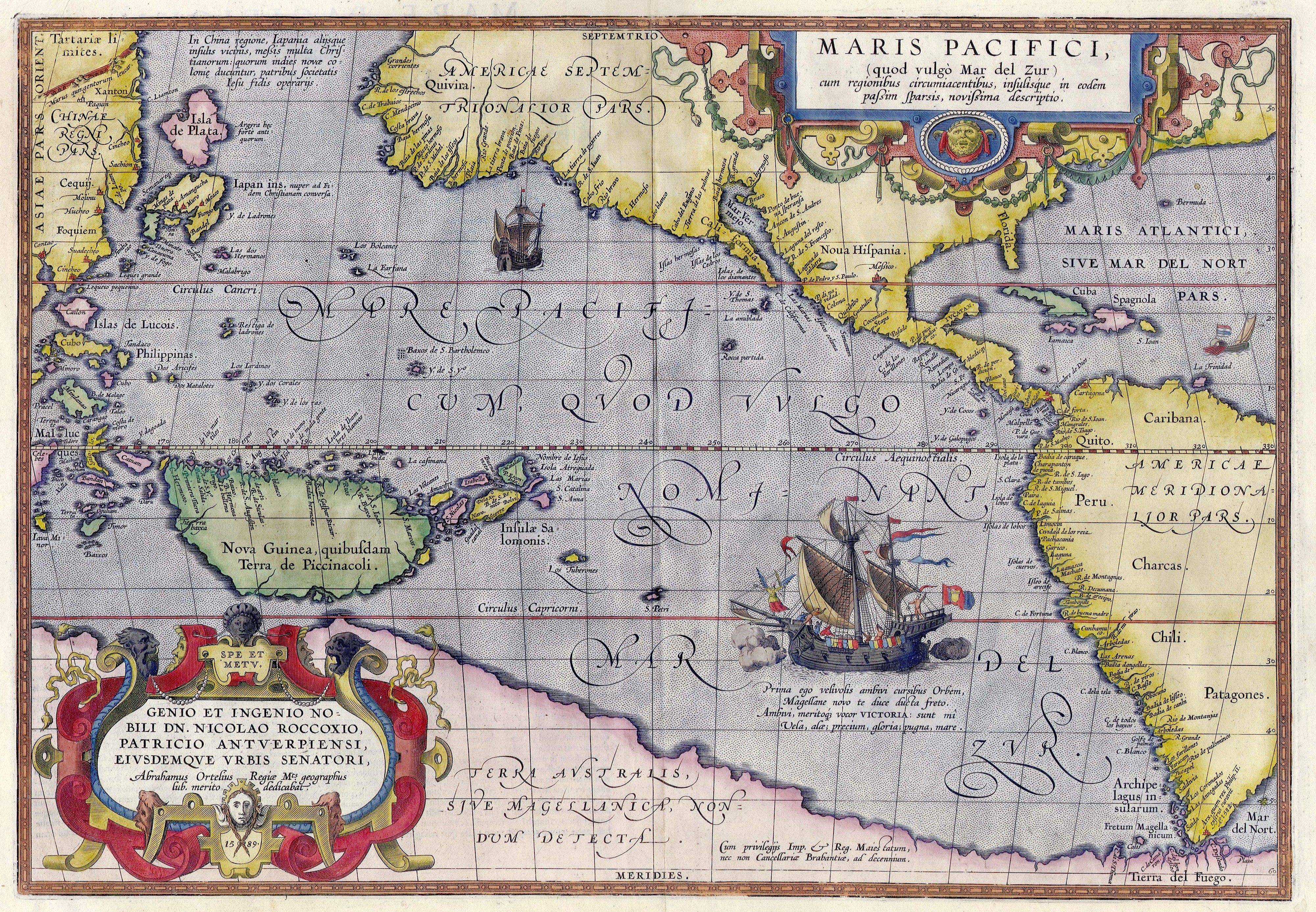
Maris Pacifici — (Descriptio Maris Pacifici) war die erste gedruckte Karte des Pazifik. Die Karte wurde von Abraham Ortelius 1589 gezeichnet. Die Karte basiert auf der Karte Amerikas von Frans Hogenberg aus dem gleichen Jahr und auf der Beschreibung des Vaz… … Deutsch Wikipedia
Maris Pacifici — Ортелий Описание Тихого океана, 1589 Descriptio Maris Pacifici 34,0×49,5 см … Википедия
Abraham Ortelius — by Peter Paul Rubens Abraham Ortelius (Abraham Ortels) (April 14, 1527 – June 28, 1598) was a Flemish cartographer and geographer, generally recognised as the creator of the first modern atlas, the Theatrum Orbis Terrarum (Theatre of the World).… … Wikipedia
Pacific Ocean — Pacific and North Pacific redirect here. For other uses, see Pacific (disambiguation) and North Pacific (disambiguation). Earth s oceans (World Ocean) Arctic Ocean Atlantic Ocean Indian Ocean Pacific Ocean Southern Ocean … Wikipedia
Abraham Oertel — Abraham Ortelius Abraham Ortelius (Ortels, Oertel, Örtel, Orthellius, Wortels, * 2. April 1527 in Antwerpen; † 28. Juni 1598 ebenda) war ein flämischer Geograph und Kartograph. Er entstammt einer von Augsburg in die südlichen Niederlande… … Deutsch Wikipedia
Ortelius — Abraham Ortelius Abraham Ortelius (Ortels, Oertel, Örtel, Orthellius, Wortels, * 2. April 1527 in Antwerpen; † 28. Juni 1598 ebenda) war ein flämischer Geograph und Kartograph. Er entstammt einer von Augsburg in die südlichen Niederlande… … Deutsch Wikipedia
Emmanuel Drake del Castillo — est un botaniste français, né à Paris en 1855, mort à Saint Cyran du Jambot (Indre) en 1904. Il est élève d Édouard Bureau (1830 1918), professeur au Muséum national d histoire naturelle à Paris. Entre 1886 et 1892, il publie Illustrationes… … Wikipédia en Français
Портулан — Японский портулан Индийский океан, начало XVII века Портулан (или портолан) древняя карта (мира), использовавшаяся главным образом европейскими мореплавателями средних ве … Википедия
INSULA Avium — I. INSULA Avium Ilha de Aves Lusitanis l Iste des Oyseaux Gallis, ins. est parva Anchidolii maris s. maris pacifici, mter insu las Latronum ad Bor. et novam Guineam ad Austr. II. INSULA Avium Isla de Aves, ins. est parva Americae, in mari Bor. et … Hofmann J. Lexicon universale
MARE Magellanicum — mer Magellanique, pars est maris Borealis, inter fluvium Argenteum et fretum Magellanicum, ac versus Magellanicam regionem, in America Meridionali, et pars etiam maris Pacifici versus partem Occidentalem Terrae Ignium et Magellanicae … Hofmann J. Lexicon universale