- Pennant Hills railway station, Sydney
Cityrail Station alt|station_name=Pennant Hills|
servicearea=Northern Line|servicearea_color=#Northern line colour|servicearea_textcolor=white
code=PLL|suburb=Pennant Hills|street=Railway St|distance=28.58|altitude=165|traintype=Suburban all stops|platforms=2|tracks=2|platform_arr=2 Side|stationtype=Ground|gates=No|connect=Bus|disabled=Yes
facilities= [http://www.cityrail.info/facilities/facilities.jsp?n=217&giveOutput=true&facility= Link]Pennant Hills station on Sydney's
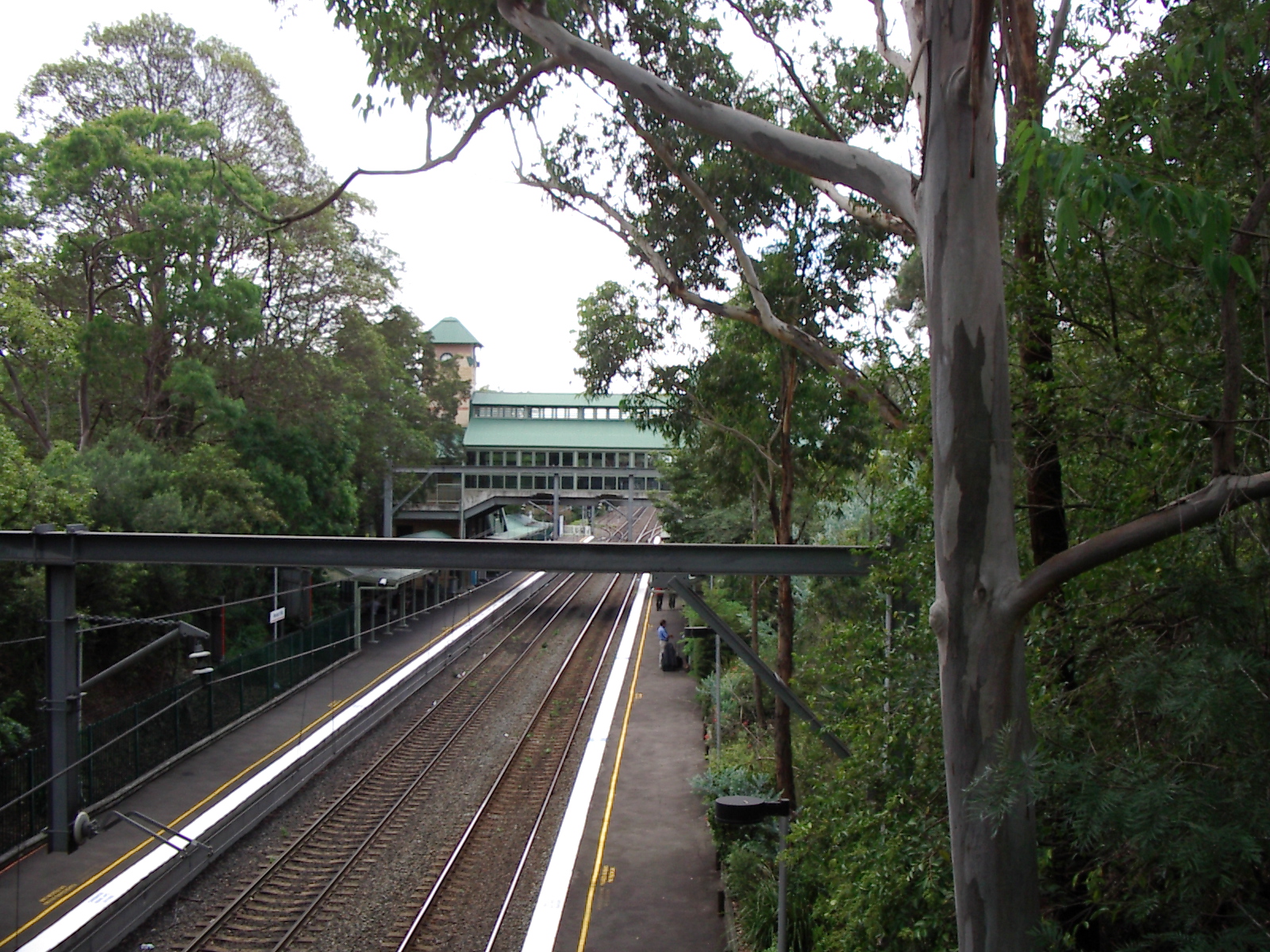
CityRail network serves the suburb ofPennant Hills in Sydney's Hills District. Opening in 1886 [cite web | url=http://www.nswrail.net/locations/show.php?name=main_north| title=Main North Line | publisher=Nswrail.net] , this station lies on the Northern line leading from Berowra in the north through to North Sydney station viaStrathfield and Central. In recent years the station has undergone an upgrade. It has significant patronage due to the people of neighbouring suburbs Cherrybrook andWest Pennant Hills utilising it. The station consists of two side platforms and two running tracks, the 'Up' and 'Down' Main North Lines. Immediately north of Pennant Hills, a four track section of the Main North line begins which runs to the next station of Thornleigh [State Rail Authority Track Diagram, 1992] .Platforms/Service
Platform 1
*Northern line colour>Northern Line - all stations and limited stops services to Central and North Sydney, then Lindfield, Gordon, or Hornsby via the North Shore line colour>North Shore Line.Platform 2
*Northern line colour>Northern Line - services to Hornsby.Accessibility
The station is equipped with
Easy Access for wheelchairs.Transport Links
Shorelink runs one service via Pennant Hills railway station:
*Route 587 - North to Westleigh via ThornleighHillsbus runs a number of services to and from Pennant Hills railway station:
*Route 631 - to Castle Hill
*Route 632 - to Castle Hill
*Route 633 - to Castle Hill
*Route 636 - to Glenhaven
*Route 637 - to Glenorie
*Route 638 - to Galston
*Route 639 - to Pitt Town Road
*Route 640 - to Porters Rd Kenthurst
*Route 641 - to Annagrove Road
NightRide route N80 serves Pennant Hills stationTrackplan
Trivia
Platform 1 is actually a little bit too short- when 8-car trains stop, the furthest door to the back actually stops off the platform, however passengers can exit through that door onto the sloping edge of the platform.
Neighbouring stations
References
Wikimedia Foundation. 2010.