- Centerville, Utah
Infobox Settlement
name = Centerville
official_name = City of Centerville
settlement_type = City
nickname =
motto =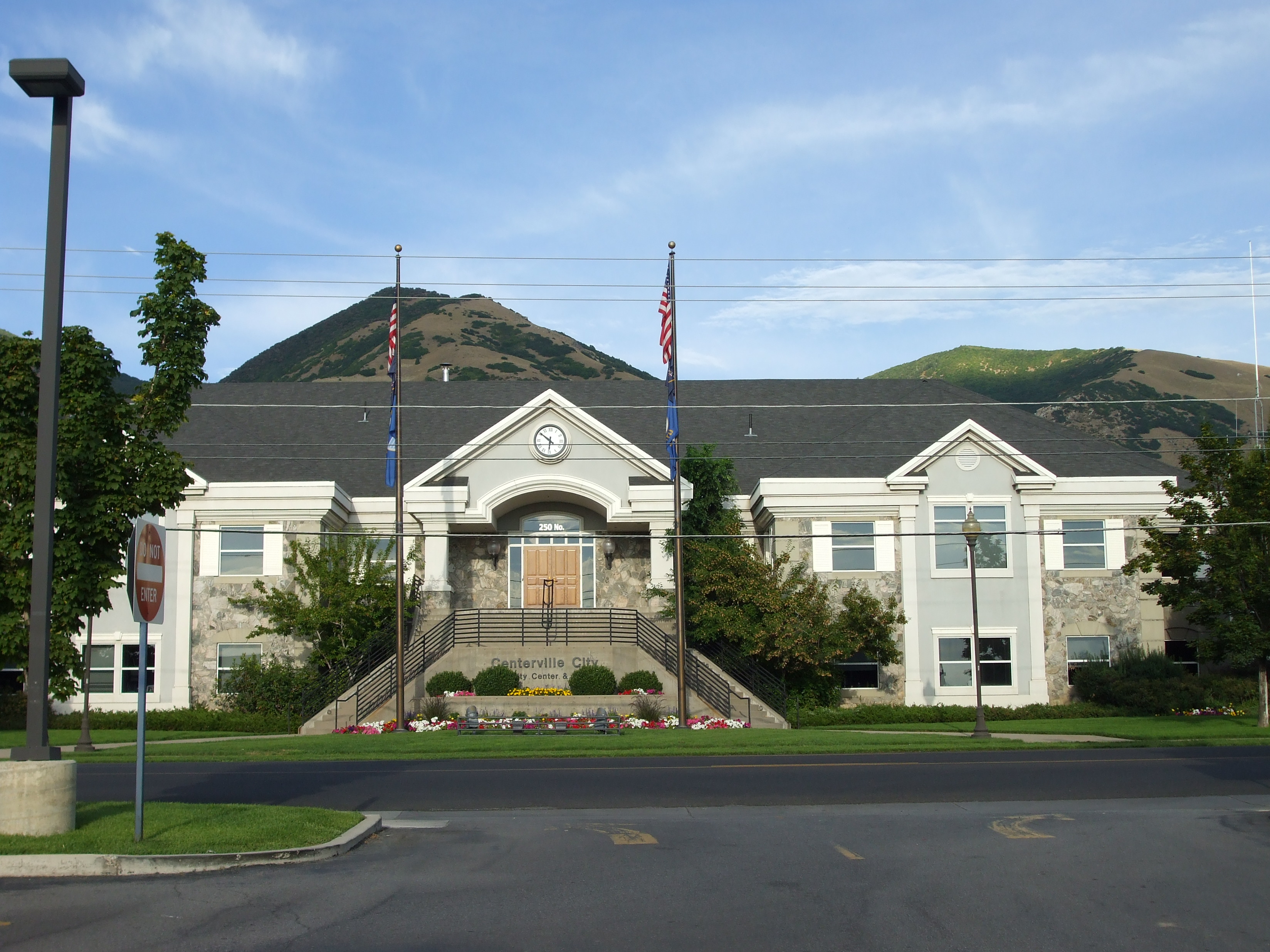
imagesize =
image_caption = Centerville City Hall
image_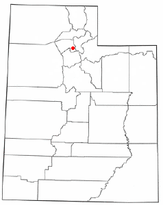
mapsize = 250px
map_caption = Location of Centerville, Utah
mapsize1 =
map_caption1 =subdivision_type = Country
subdivision_name =United States
subdivision_type1 = State
subdivision_name1 =Utah
subdivision_type2 = County
subdivision_name2 = Davisgovernment_footnotes =
government_type =
leader_title =
leader_name =
leader_title1 =
leader_name1 =
established_title =
established_date =unit_pref = Imperial
area_footnotes =
area_magnitude =
area_total_km2 = 15.6
area_land_km2 = 15.6
area_water_km2 = 0.0
area_total_sq_mi = 6.0
area_land_sq_mi = 6.0
area_water_sq_mi = 0.0population_as_of = 2000
population_footnotes =
population_total = 14585
population_density_km2 = 932.7
population_density_sq_mi = 2415.8timezone = Mountain (MST)
utc_offset = -7
timezone_DST = MDT
utc_offset_DST = -6
elevation_footnotes =
elevation_m = 1334
elevation_ft = 4377
latd = 40 |latm = 55 |lats = 37 |latNS = N
longd = 111 |longm = 52 |longs = 48 |longEW = Wpostal_code_type =
ZIP code
postal_code = 84014
area_code = 801
blank_name = FIPS code
blank_info = 49-11980GR|2
blank1_name = GNIS feature ID
blank1_info = 1439622GR|3
website =
footnotes =Centerville is a city in Davis County,
Utah ,United States . It is part of the Ogden–Clearfield, Utah Metropolitan Statistical Area. The population was 14,585 at the 2000 census. It is located adjacent to the easternmost part ofThe Great Salt Lake .Geography
Centerville is located at coor dms|40|55|37|N|111|52|48|W|city (40.926824, -111.880086)GR|1.
According to the
United States Census Bureau , the city has a total area of 6.0square mile s (15.6km² ), all of it land.Demographics
As of the
census GR|2 of 2000, there were 14,585 people, 4,138 households, and 3,546 families residing in the city. Thepopulation density was 2,415.8 people per square mile (932.3/km²). There were 4,280 housing units at an average density of 708.9/sq mi (273.6/km²). The racial makeup of the city was 97.06% White, 0.23% African American, 0.16% Native American, 0.75% Asian, 0.23% Pacific Islander, 0.60% from other races, and 0.97% from two or more races. Hispanic or Latino of any race were 1.95% of the population.There were 4,138 households out of which 51.5% had children under the age of 18 living with them, 76.1% were married couples living together, 7.4% had a female householder with no husband present, and 14.3% were non-families. 12.3% of all households were made up of individuals and 4.8% had someone living alone who was 65 years of age or older. The average household size was 3.52 and the average family size was 3.88.
The population was spread out with 35.9% under the age of 18, 11.5% from 18 to 24, 25.2% from 25 to 44, 20.4% from 45 to 64, and 7.0% who were 65 years of age or older. The median age was 27 years. For every 100 females there were 99.0 males. For every 100 females age 18 and over, there were 94.6 males.
The median income for a household in the city was $64,818, and the median income for a family was $70,855. Males had a median income of $50,033 versus $26,527 for females. The
per capita income for the city was $19,666. About 1.4% of families and 2.0% of the population were below thepoverty line , including 2.2% of those under age 18 and 1.7% of those age 65 or over.History
Centerville was first settled in 1849 by Shadrach Roundy.
Shadrach Roundy and his family also farmed in the general vicinity of Centerville that year. [Jenson, Andrew. "Encyclopedic History of the Church of Jesus Christ of Latter-day Saints" (Salt Lake City: Deseret News Publishing Company, 1941) p. 127]In the winter of 1849 Shadrach Roundy built a grist mill on Deuel Creek. He also made molasses from corn stalks at this mill. [Jenson. "Encyclopedic History". p. 127]
In 1851 the first school house, a log building was built in Centerville. It was replaced by an adobe building in 1854 and by a much larger building in 1862. [Jenson. "Encyclopedic History". p. 127]
Centerville was the home of Latter-day Saint church leader
B. H. Roberts .In 1869, the Utah Central Rail Road reached Centerville.
Ecclesiastical History
The first branch of
The Church of Jesus Christ of Latter-day Saints was organized in Centerville in 1850 with Sanford Porter as president. In 1852 Centerville was made a ward with Sanford Porter as bishop. In 1868 an LDS Sunday School was organized with Nathan Tanner as president. In 1869 aRelief Society was organized with Mary Ann Harmon as president. In 1874 a branch of theUnited Order was organized in Centerville with William R. Smith as president. In December 1917 the Centerville Ward was divided into the Centerville 1st and Centerville 2nd Wards. [Jenson. "Encyclopedic History". p. 127] In 1930 the two Centerville Wards had a combined membership of 823. [Jenson. "Encyclopedic History". p. 128]Today there are four stakes in Centerville. [ [http://www.lds.org/units/find/search/1,16055,2311-1,00.html Select Location ] ]
Education
Schools in Centerville include Reading Elementary, Jennie P. Stewart Elementary, Centerville Elementary, J.A. Taylor Elementary, and Centerville Junior High School. The nearest high school to Centerville is
Viewmont High School , located south of Centerville in the city of Bountiful.Centerville Schools
* [http://www.davis.k12.ut.us/schools/reading/ Reading Elementary]
* [http://www.davis.k12.ut.us/schools/stewart/ Jennie P. Stewart Elementary]
* [http://www.davis.k12.ut.us/schools/centerville/ Centerville Elementary]
* [http://taylor.davis.k12.ut.us/ J.A. Taylor Elementary]
* [http://cjh.davis.k12.ut.us/ Centerville Junior High School]References
External links
* [http://www.centervilleut.net/ Official site]
Wikimedia Foundation. 2010.