- Mount Astor
-
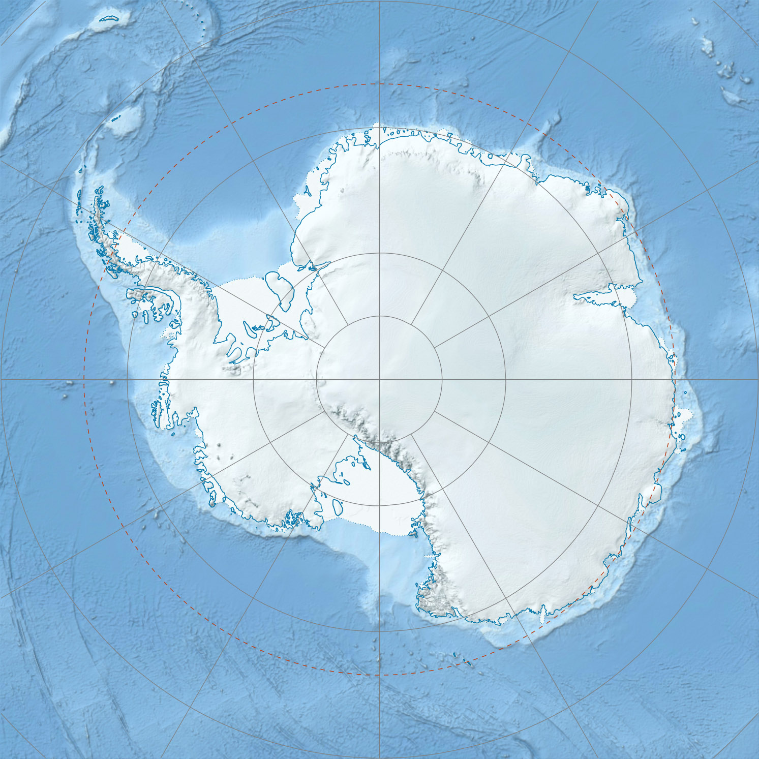
Mount Astor Mount Astor, Antarctica
 Mount Astor
Elevation 3,710 m (12,172 ft) [1] Location Range Hays Mountains Coordinates 86°01′S 155°30′W / 86.017°S 155.5°WCoordinates: 86°01′S 155°30′W / 86.017°S 155.5°W[1] Mount Astor is a prominent peak, 3,710 metres (12,170 ft) high, standing 2 miles (3 km) north of Mount Bowser in the Hays Mountains of the Queen Maud Mountains. It was discovered by Rear Admiral Richard Evelyn Byrd on the Byrd Antarctic Expedition flight of November 1929 to the South Pole, and named by him for Vincent Astor, contributor to the expedition.[1]
References
- ^ a b c "Astor,Mount". Geographic Names Information System, U.S. Geological Survey. http://geonames.usgs.gov/pls/gnispublic/f?p=gnispq:5:::NO::P5_ANTAR_ID:666. Retrieved 2010.07.26.

This Ross Dependency location article is a stub. You can help Wikipedia by expanding it.