- Mount Hunt (Wyoming)
-
Mount Hunt 
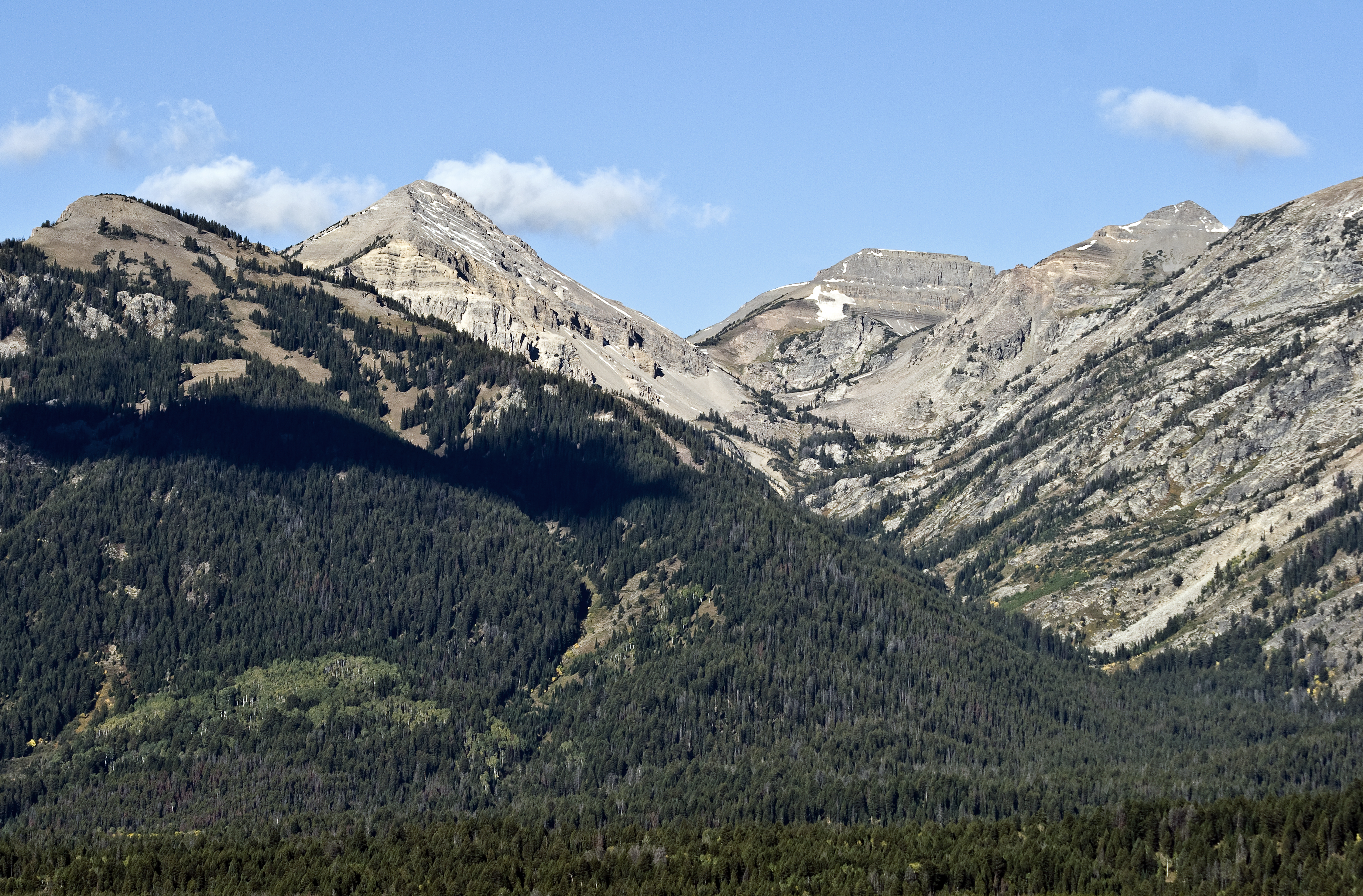
Open Canyon with Mount Hunt at center leftElevation 10,783 ft (3,287 m) [1] Prominence 623 ft (190 m) [1] Location Grand Teton National Park, Teton County, Wyoming, USA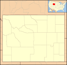
 Mount Hunt
Range Teton Range Coordinates 43°37′52″N 110°51′41″W / 43.63111°N 110.86139°WCoordinates: 43°37′52″N 110°51′41″W / 43.63111°N 110.86139°W[2] Topo map USGS Grand Teton Climbing First ascent August 24, 1929 (Fritiof Fryxell)[3] Easiest route Scramble Mount Hunt (10,783 feet (3,287 m) is located in the Teton Range, Grand Teton National Park in the U.S. state of Wyoming. The peak is situated near the head of Open Canyon and just west of Mount Hunt Divide.[4] The peak was named after William Price Hunt, one of the leaders of the 1811-12 Astor Expedition.[3]
References
- ^ a b "Mount Hunt, Wyoming". Peakbagger.com. http://www.peakbagger.com/peak.aspx?pid=5233. Retrieved 2011-10-01.
- ^ "Mount Hunt". Geographic Names Information System, U.S. Geological Survey. http://geonames.usgs.gov/pls/gnispublic/f?p=gnispq:3:::NO::P3_FID:1600459. Retrieved 2011-10-01.
- ^ a b Ortenburger, Leigh N; Reynold G. Jackson (1996). A climber's guide to the Teton Range. Mountaineers Books. pp. 71. ISBN 0898864801. http://books.google.com/books?id=Z-Y1tLw_YWgC&lpg=PA15&dq=mount%20hunt%20grand%20teton%20national%20park&pg=PA71#v=onepage&q=mount%20hunt%20grand%20teton%20national%20park&f=false.
- ^ TopoQwest (United States Geological Survey Maps). Grand Teton, WY (Map). http://www.topoquest.com/map.php?lat=43.63104&lon=-110.86132&datum=nad83&zoom=4. Retrieved 2011-10-01.
Categories:- Mountains of Grand Teton National Park
- Wyoming geography stubs

Wikimedia Foundation. 2010.