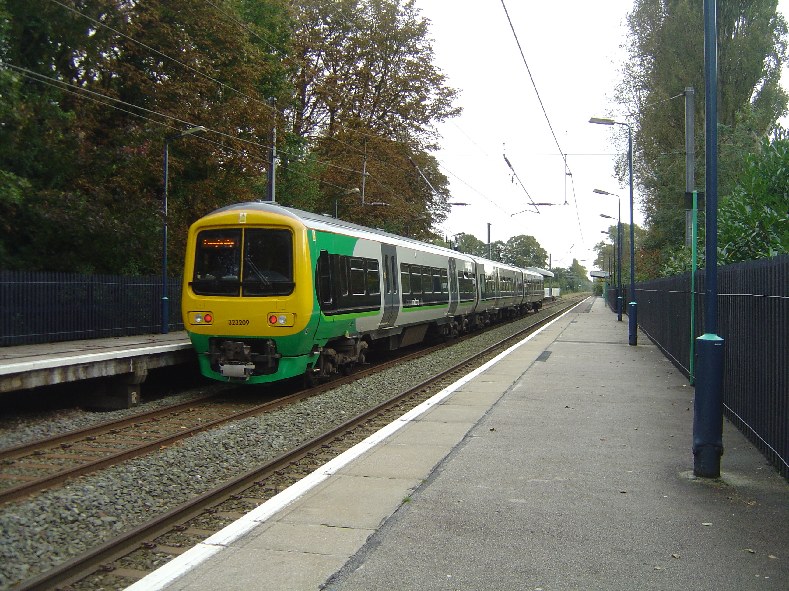
- Wylde Green railway station
Infobox UK station
name = Wylde Green
manager =London Midland
locale =Wylde Green
borough =Birmingham
pte = West Midlands
zone = 4
usage0405 = 0.199
usage0506 = 0.212
usage0607 = 0.224
code = WYL
platforms = 2
latitude = 52.546
longitude = -1.831
gridref = SP114942
years =1862
events = OpenedWylde Green railway station is a
railway station serving northernWylde Green andBoldmere inSutton Coldfield ,Birmingham ,England . It is on theRedditch -Birmingham New Street -Lichfield Cross-City Line 10 km (6½ miles) north east of Birmingham New Street, and is in Centro fare zone 4.The station was opened on
2 June 1862 , when the LNWR Birmingham to Sutton railway line was completed and later operated by the LMS.The station has a car park. Pedestrian and vehicular access is via Station Road, with pedestrian access also available from Highbridge Road. The platforms are above the former road, but below the latter.
Despite the station name,
Chester Road railway station is located closer to Wylde Green's shopping centre, The Lanes.ervice
Monday to Fridays there a 10 minute frequency southbound to Birmingham New Street and Longbridge (half-hourly to Redditch) and northbound to Four Oaks and 4 per hour to Lichfield.
Saturdays there a four trains per hour southbound to Birmingham New Street and beyond and northbound to Lichfield.
Passenger services are operated by
London Midland using Class 323electrical multiple unit s.References
*"An Historical Survey Of Selected LMS Stations Vol. One" Dr R Preston and R Powell Hendry. Oxford Pub. Co. (
1982 , Reprinted in2001 ) ISBN 0860931684External links
* [http://www.railaroundbirmingham.co.uk/Stations/wylde_green.php Rail Around Birmingham and the West Midlands: Wylde Green railway station]
* [http://www.warwickshirerailways.com/lms/wyldegreen.htm Railways of Warwickshire entry]
Wikimedia Foundation. 2010.
