- Bokes Creek Township, Logan County, Ohio
Infobox Settlement
official_name = Bokes Creek Township,
Logan County, Ohio
settlement_type = Township
nickname =
motto =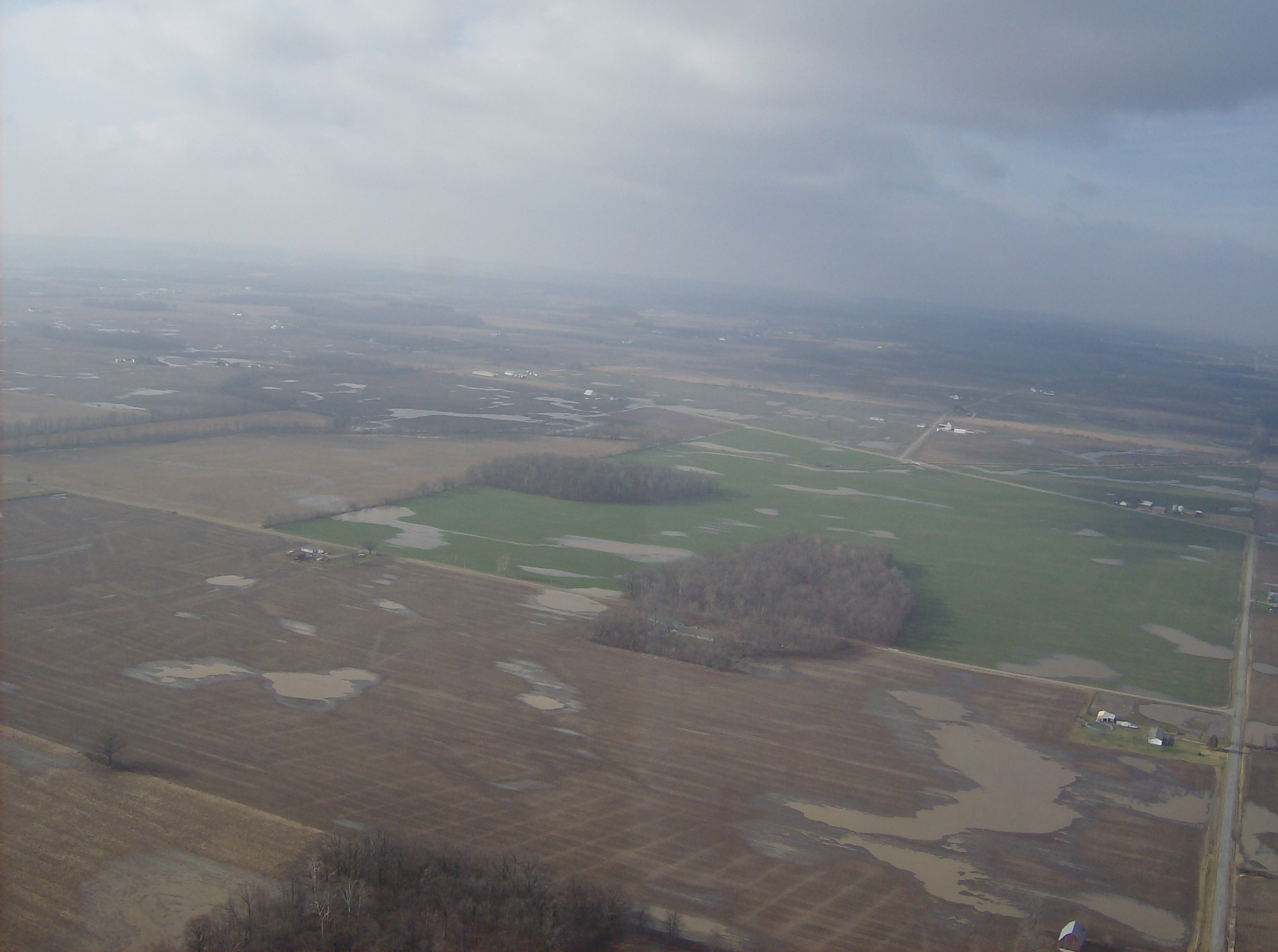
imagesize = 250px
image_caption = Wide fields in Bokes Creek Township, prone to flooding in bad weather
image_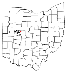
mapsize = 250px
map_caption = Location of Bokes Creek Township in Ohio
mapsize1 = 250px
map_caption1 = Municipalities and townships of Logan Countysubdivision_type = Country
subdivision_name =United States
subdivision_type1 = State
subdivision_name1 =Ohio
subdivision_type2 = County
subdivision_name2 = Logangovernment_footnotes =
government_type =
leader_title =
leader_name =
leader_title1 =
leader_name1 =
established_title =
established_date =unit_pref = Imperial
area_footnotes =area_magnitude =
area_total_km2 = 87.4
area_land_km2 = 87.3
area_water_km2 = 0.0
area_total_sq_mi = 33.7
area_land_sq_mi = 33.7
area_water_sq_mi = 0.0population_as_of = 2000
population_footnotes =
population_total = 1308
population_density_km2 = 15.0
population_density_sq_mi = 38.8timezone = Eastern (EST)
utc_offset = -5
timezone_DST = EDT
utc_offset_DST = -4
elevation_footnotes = GR|3
elevation_m = 329
elevation_ft = 1079
latd = 40 |latm = 27 |lats = 13 |latNS = N
longd = 83 |longm = 33 |longs = 39 |longEW = Wpostal_code_type =
postal_code =
area_code =Area code 937
blank_name = FIPS code
blank_info = 39-07552GR|2
blank1_name = GNIS feature ID
blank1_info = 1086482GR|3
website =
footnotes =Bokes Creek Township is one of the seventeen townships of Logan County,
Ohio ,United States . The 2000 census found 1,308 people in the township. [ [http://www.osuedc.org/profiles/population/places.php?sid=41&fips=39091 Logan County, Ohio — Population by Places Estimates] Ohio State University, 2007. Accessed 12 May 2007.]Geography
Located in the northeastern corner of the county, it borders the following townships:
*Hale Township, Hardin County - north
*Washington Township, Union County - northeast
*York Township, Union County - southeast
*Perry Township - south
*Rushcreek Township - west
*Taylor Creek Township, Hardin County - northwestParts of the villages of West Mansfield and Ridgeway are located in southeastern and northern Bokes Creek Township respectively.
Name and history
It is the only Bokes Creek Township statewide.
Bokes Creek Township was formed in 1838 from Perry Township.fact|date=July 2007
Government
The township is governed by a three-member board of trustees, who are elected in November of odd-numbered years to a four-year term beginning on the following January 1. Two are elected in the year after the presidential election and one is elected in the year before it. There is also an elected township fiscal officer, who serves a four-year term beginning on April 1 of the year after the election, which is held in November of the year before the presidential election. Vacancies in the fiscal officership or on the board of trustees are filled by the remaining trustees. In the elections of November 2007, Darrell Ramsey [Examiner Staff, The. "Township Trustees: Township trustee results", "Bellefontaine Examiner",
2007-11-07 , p. 2.] and Joseph Ramsey [Examiner Staff, The. "Township Trustees: Township fiscal officer", "Bellefontaine Examiner",2007-11-07 , p. 2.] were elected without opposition to the positions of township trustee and township fiscal officer respectively.Transportation
State Routes 47 and 292 pass through Bokes Creek Township.
References
External links
* [http://www.co.logan.oh.us County website]
* [http://www.dnr.state.oh.us/geosurvey/pdf/cotwpmap.pdf County & Township Map of Ohio] (PDF object)
* [http://www.co.logan.oh.us/html/county_map_-_large.html Detailed Logan County map]
Wikimedia Foundation. 2010.