- Issyk Kul District
Infobox Settlement
name =Issyk Kul
settlement_type =Raion
official_name =
other_name =
native_name =
nickname =
motto =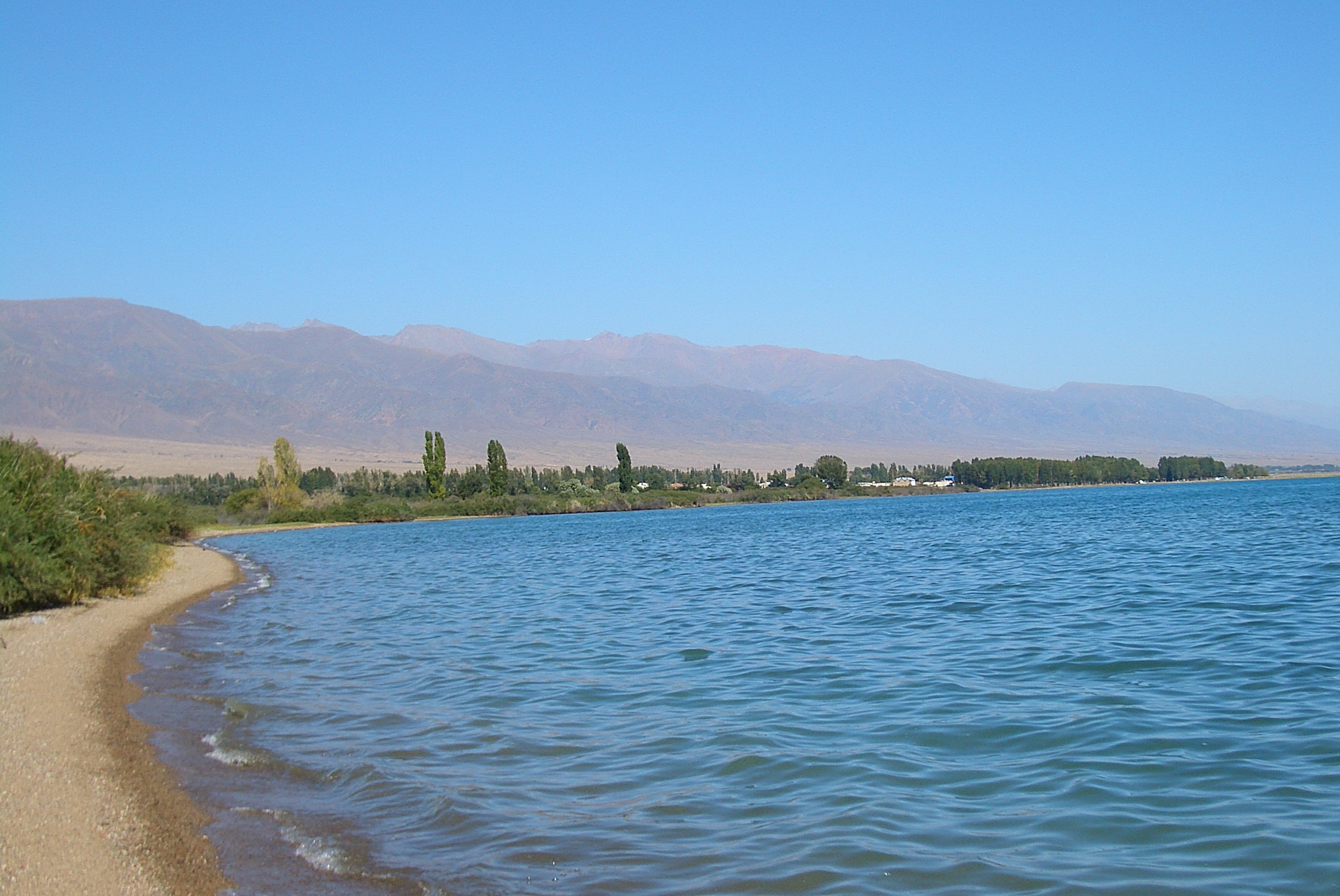
imagesize = 300px
image_caption = Lake Issyk Kul shoreline at Tamchy, Issyk Kul district
flag_size =
image_
seal_size =
image_shield =
shield_size =
image_blank_emblem =
blank_emblem_size =
mapsize = 300px
map_caption =
mapsize1 = 150px
map_caption1 =
pushpin_
pushpin_label_position =
subdivision_type = Country
subdivision_name =Kyrgyzstan
subdivision_type1 = Province
subdivision_name1 =Issyk Kul Province
subdivision_type2 =
subdivision_name2 =
seat_type =
seat =
government_type =
leader_title =
leader_name =
leader_title1 =
leader_name1 =
established_title =
established_date =
area_magnitude =
unit_pref =Imperial
area_footnotes =
area_total_km2 =
area_land_km2 =
area_water_km2 =
area_total_sq_mi =
area_land_sq_mi =
area_water_sq_mi =
area_water_percent =
area_urban_km2 =
area_urban_sq_mi =
area_metro_km2 =
area_metro_sq_mi =
population_as_of =
population_footnotes =
population_note =
population_total =
population_density_km2 =
population_density_sq_mi =
population_metro =
population_density_metro_km2 =
population_density_metro_sq_mi =
population_urban =
population_density_urban_km2 =
population_density_urban_mi2 =
timezone = GMT +5
utc_offset = +5
timezone_DST =
utc_offset_DST =
latd=|latm=|lats=|latNS=
longd=|longm=|longs= |longEW=
elevation_footnotes =
elevation_m =
elevation_ft =
postal_code_type =
postal_code =
area_code =
website =
footnotes =Issyk Kul is a
raion (district) ofIssyk Kul Province in north-easternKyrgyzstan . The capital lies atCholpon-Ata . [ [http://enrin.grida.no/htmls/kyrghiz/soe2/english/map/map3.htm Enrin.grida.no] ] :The district is located on the northern shore of
Issyk Kul , which dominates much of the landscape.Towns and villages
West to east along the lake shore:
* Kosh Köl
*Tamchy
*Choktal
*Cholpon-Ata Gallery
References
Wikimedia Foundation. 2010.