- Naryn District
-
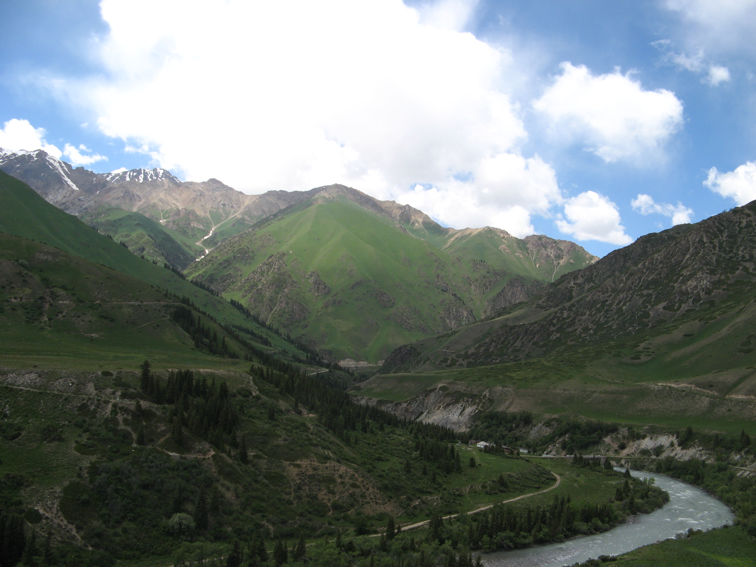
Naryn District — Raion — Countryside in Naryn District near Naryn
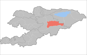
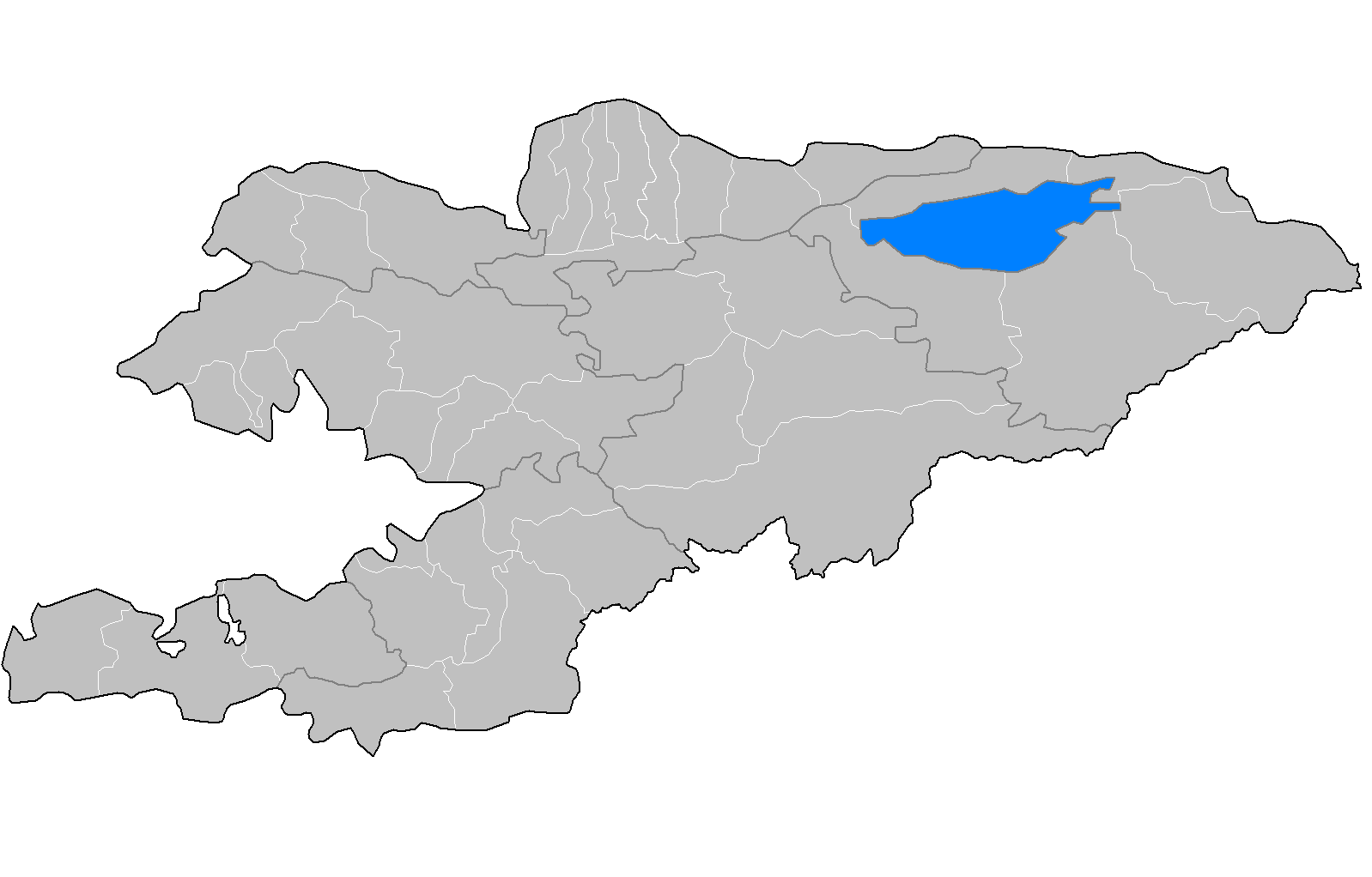
Country Kyrgyzstan Province Naryn Province Area - Total 4,054.8 sq mi (10,502 km2) Population (2009)[1] - Total 44,080 Time zone GMT +5 (UTC+5) Naryn District' (formerly Tian'-Shan' District) is a raion of Naryn Province in central-southern Kyrgyzstan. The capital lies at Naryn.[2]. Naryn District was established in its borders in 1930. It borders with At-Bashi District to the south, Ak-Talaa District to the west, Kochkor District to the north, Tong District to the north-east, Jeti-Oguz District to the east, and Song Köl to the north-west.
The district is characterized by the scenic Tian Shan Mountains, alpine pastures and Son-Kul lake which during summer months attracts large herds of sheep and horses with their herders and their yurts.
Contents
Economy
The economy of Naryn oblast is dominated by animal herding (sheep, horses, yaks), with wool and meat as the main products. Mining of various minerals developed during the Soviet era has largely been abandoned as uneconomical. Today the area is considered to be the poorest region in the country.
Demographics
As of 2009, Naryn District included 1 urban-type settlement, and 38 villages in 14 rural communities (aiyl okmotus). Its de facto population, according to the Population and Housing Census of 2009, was 44,080.
Historical populations in Naryn District Year Pop. ±% 1970 30,487 — 1979 34,089 +11.8% 1989 36,863 +8.1% 1999 40,628 +10.2% 2009 44,080 +8.5% Note: enumerated de facto population; Source: [1] Ethnic composition
According to the 2009 Census, the ethnic composition (de jure population) of the Naryn Distruct was:[1]
Ethnic group Population Proportion of Naryn District population Kyrgyzs 44,003 99.8% other groups 77 0.2% Urban-type settlements, rural communities and villages
The rural communities and settlements in the Naryn District are[3]:
- Ak-Kuduk aiyl okmotu (center - village Vos'moe Marta, and also villages Ak-Kuduk, Shoro)
- Debelyuu aiyl okmotu (center - village Debelyuu, and also villages Alysh, Kenesh)
- Djan-Bulak (center - village Djan-Bulak)
- Djergetal aiyl okmotu (center - village Djergetal, and also villages Djalgyz-Terek, Kyzyl-Jyldyz)
- Kara-Kudjur aiyl okmotu (center - village Lakol, and also village Jer-Kechkyu)
- Kazan-Kuygan aiyl okmotu (center - village Kazan-Kuygan, and also village Kara-Unkyur)
- Emgekchil aiyl okmotu (center - village Emgekchil)
- Min-Bulak aiyl okmotu (center - village Kuybysheva, and also villages Min-Bulak, Ornok)
- On-Archa aiyl okmotu (center - village Echki-Bashi, and also village Ottuk)
- Ortok aiyl okmotu (center - village Tash-Bashat, and also villages Kaiyndy, Oryuk-Tam, Eki-Naryn)
- Uchkun aiyl okmotu (center - village Kulanak, and also village Uchkun)
- Chet-Nura aiyl okmotu (center - village Orto-Nura, and also villages Ak-Bulun, Ak-Kyya, Iyri-Suu, Orto-Saz, Oryuk-Tam, Chet-Nura, Tosh-Bulak)
- Emgek-Talaa aiyl okmotu (center - village Ak-Talaa, and also villages Tegerek, Emgek-Talaa)
- Sary-Oy aiyl okmotu (center - village Jylan-Aryk)
- urban-type settlement Dostuk
References
- ^ a b c область.pdf Population and Housing Census 2009. Book 3 (in tables). Provinces of Kyrgyzstan: Naryn Province (Перепись населения и жилищного фонда Кыргызской Республики 2009. Книга 3 (в таблицах). Регионы Кыргызстана: Нарынская область, Bishkek: National Committee on Statistics, 2010, http://212.42.101.100:8088/nacstat/sites/default/files/Нарынская область.pdf
- ^ Enrin.grida.no
- ^ List of rural communities of Kyrgyzstan
 Districts (Raions) of Kyrgyzstan
Capital: Bishkek (also four raions: Lenin, Oktyabr, Pervomay, Sverdlovsk) Batken Province 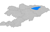
Chuy Province Issyk Kul Province Jalal-Abad Province Naryn Province Osh Province Talas Province Categories:- Districts of Naryn Province
- Kyrgyzstan geography stubs

Wikimedia Foundation. 2010.