- Mid-Hudson Bridge
-
Mid-Hudson Bridge 
Official name Franklin D. Roosevelt Mid-Hudson Bridge Carries 
 3 lanes of US 44 and NY 55
Crosses Hudson River Locale Highland, New York and Poughkeepsie, New York Maintained by New York State Bridge Authority Design Suspension bridge Total length 914.4 meters (3,000 feet) Longest span 457.2 meters (1,500 feet) Vertical clearance 41.15 meters (135 feet) Opened August 25, 1930 Toll $1 passenger cars, eastbound via cash or (E-ZPass) The Mid-Hudson Bridge (officially the Franklin Delano Roosevelt Mid-Hudson Bridge) is a toll suspension bridge which carries US 44 and NY 55 across the Hudson River between Poughkeepsie and Highland in the state of New York. Governor and local resident Franklin D. Roosevelt and his wife Eleanor attended the opening ceremony on August 25, 1930. The bridge was renamed the "Franklin D. Roosevelt Mid-Hudson Bridge" in 1994 though the span is rarely referred to by its official name.
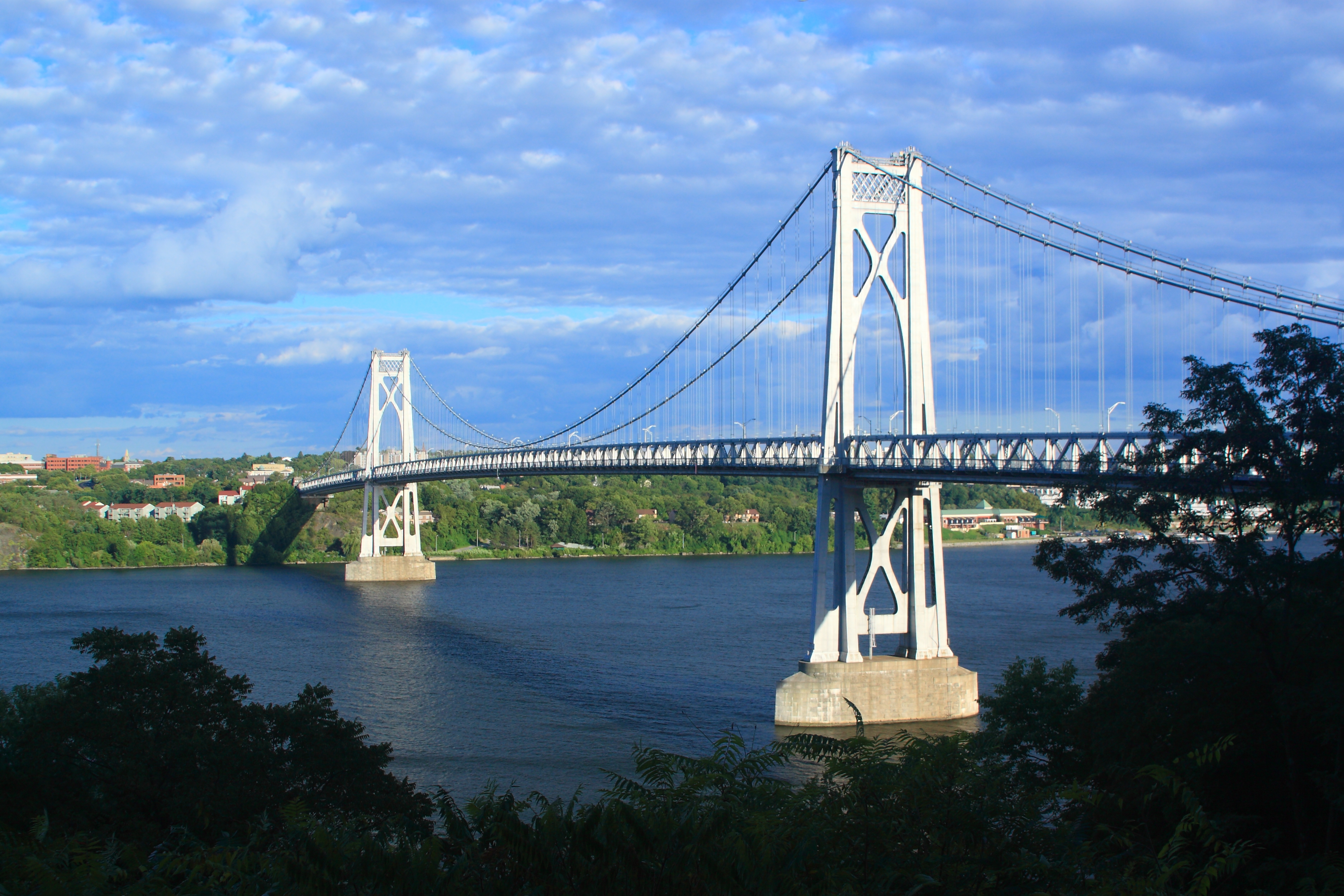
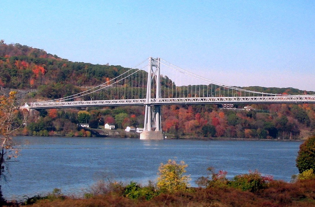
The bridge is 3,000 feet (910 m) long with a clearance of 135 feet (41 m) above the Hudson. At opening, it was the sixth-longest suspension bridge in the world. The chief engineer was Polish immigrant Ralph Modjeski, who had previously engineered the strengthening of the nearby Poughkeepsie Railroad bridge. Primary contractor was the American Bridge Company of Ambridge, Pennsylvania with steel from Carnegie. The span is unique in that stiffening trusses were intentionally constructed on top of, not below, the deck.
Contents
History
Proposals for the Mid-Hudson span were proposed by state legislature in 1923. At that time, there were no fixed crossing across the river south of Albany. The Bear Mountain Bridge in Westchester County and the Holland Tunnel in Manhattan were under construction at that time. Governor Alfred E. Smith signed the bill in June 1923. Construction would be undertaken by the New York State Department of Public Works (now the New York State Department of Transportation).
Construction began in 1925. Caissons weighing 66,000 tons were sunk into the riverbed; dirt was removed by crews working in a pressurized environment. The 315-foot tall Gothic steel towers were constructed in April 1929. Three years after opening, ownership was transferred to the New York State Bridge Authority in 1933, shortly after the Authority was created.
The Bridge Today
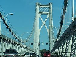
Today, the bridge carries three lanes of US 44 and NY 55 and a pedestrian/bicycle walkway over the Hudson. The bridge allows connections to US 9 on the east side, and US 9W to the west. The center lane is generally closed, except for rush hour traffic eastbound from 6am to 9am, and westbound from 3pm to 6pm. The center lane is also occasionally opened when work is being done on either side of the bridge. Five lane signals (referred to as "gantries" by NYSBA) indicate which lanes are open for travel. Approaches on either side of the bridge are four lanes, causing a bottleneck going onto the one- or two-lane span. The bridge has a computer-controlled LED decorative lighting system attached to the suspension cables, allowing the bridge to be decorated for Christmas (red, green) or the Fourth of July (red, white, and blue), and for other holidays.
In 2009, local composer Joseph Bertolozzi completed Bridge Music, a project which allows listeners to hear the Mid-Hudson bridge played like a musical instrument. The work was created for New York's 400th anniversary observance of Henry Hudson's voyage up the Hudson. Originally intended to be a live performance piece,[1][2][3] this "audacious plan" (New York Times) to compose music for a suspension bridge using the bridge itself as the instrument brought Bertolozzi wide international attention.[4] A recording of the results, the 2009 CD "Bridge Music" (on the Delos label DE1045), entered the Billboard Classical Crossover Music Chart at #18,[5] and has been released globally.
 The bridge from the south-east
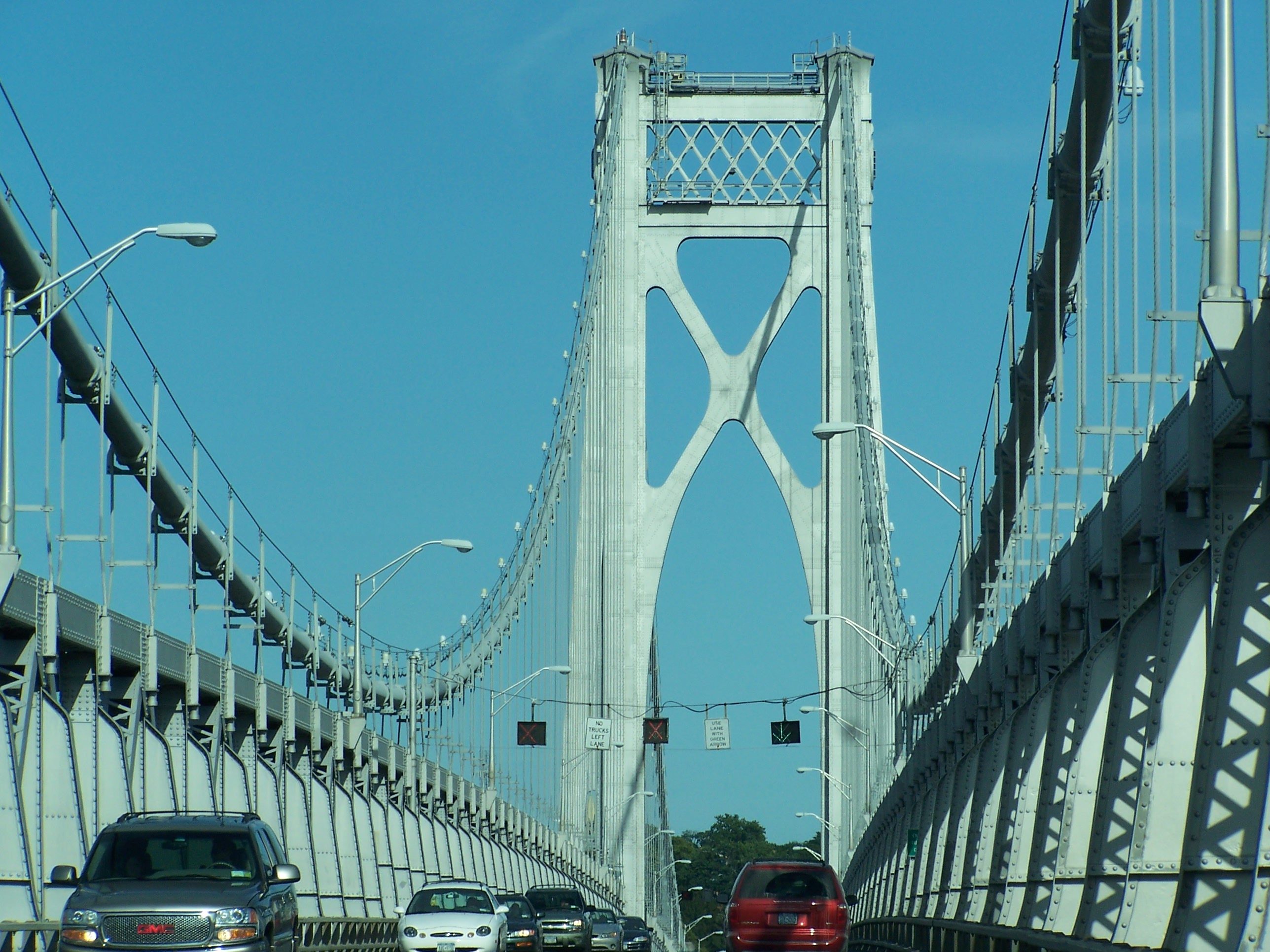
 The eastbound Mid-Hudson Bridge.
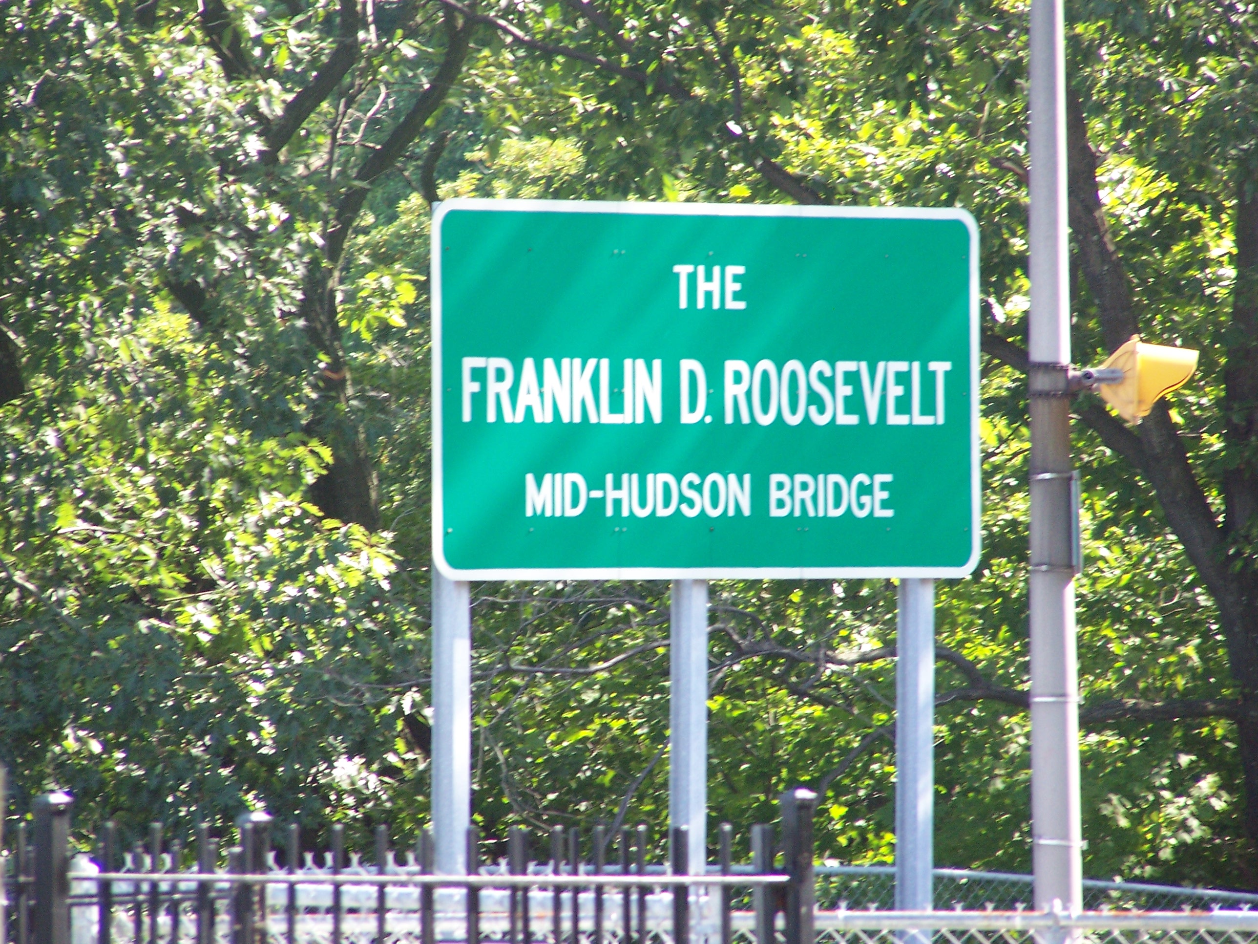
 Sign bearing the official name of the span.
See also
References
- ^ Young, Alison (1 July 2007). "It's all in the ears of the beholder.", Minnesota Public Radio (Minnesota).
- ^ "Reuters Video: Hudson River Bridge Used For Music.", Reuters.
- ^ "New York State Bridge Authority Mid Hudson Bridge Page"
- ^ http://www.josephbertolozzi.com/cms/index.php?module=webpage&id=5&page=3
- ^ AOL News (12 April 2010). "Musician Hammering Out Deal to Play Eiffel Tower."
External links
- NYCroads Historic overview
- New York State Bridge Authority site
- Bridgemeister.com - Mid-Hudson Suspension Bridge
Crossings of the Hudson River Upstream
Poughkeepsie BridgeMid-Hudson Bridge
Downstream
Newburgh-Beacon Bridge


Coordinates: 41°42′11″N 73°56′46″W / 41.702925°N 73.946121°W
Categories:- Bridges over the Hudson River
- Suspension bridges in the United States
- Bridges completed in 1930
- New York State Bridge Authority
- Bridges in Ulster County, New York
- Buildings and structures in Poughkeepsie, New York
- Toll bridges in New York
- Road bridges in New York
Wikimedia Foundation. 2010.