- Mazorakopf
-
Mazorakopf Falknishorn 
Koraspitz, Mazorakopf (centre) and MittlerspitzElevation 2,451.5 m (8,043 ft) Location Liechtenstein, Switzerland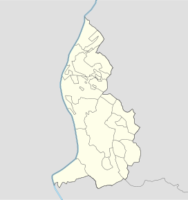
 Mazorakopf
Range Rätikon Coordinates 47°02′54.52″N 9°33′25.17″E / 47.0484778°N 9.5569917°ECoordinates: 47°02′54.52″N 9°33′25.17″E / 47.0484778°N 9.5569917°E Mazorakopf or Falknishorn (2451.5 m) is a mountain on the border between Switzerland and Liechtenstein. It is the southernmost point of the principality of Liechtenstein.
Categories:- Mountains of Liechtenstein
- Mountains of Graubünden
- Liechtenstein–Switzerland border
- International mountains of Europe
- Liechtenstein geography stubs


Wikimedia Foundation. 2010.