- West Middlesex, Pennsylvania
Geobox|Borough
name = West Middlesex
official_name =
category =Borough
image_size =
image_caption =
flag_size =
symbol =
symbol_size =
etymology_type =
etymology =
nickname =
motto =
country = United States
country_
state = Pennsylvania
state_
region_type = County
region = Mercer
district =
part_type =
part_count =
part =
part1 =
area_imperial = 2.5
area_land_imperial =
area_water_imperial =
area_urban_imperial =
area_metro_imperial =
location =
lat_d = 41
lat_m = 10
lat_s = 25
lat_NS = N
long_d = 80
long_m = 27
long_s = 25
long_EW = W
coordinates_type = region:US_type:city
population_as_of = 2000
population = 929
population_urban =
population_metro =
population_density_imperial = 981.8
population_density_urban_imperial =
population_density_metro_imperial =
government =
established_type = Established
established =1836
established1_type =
established1 =
government_type =
mayor = David George
leader_type =
leader1_name =
leader1_type =
timezone = EST
utc_offset = -4
timezone_DST = EDT
utc_offset_DST = -5
postal_code = 16159
postal_code_type = Zip code
area_code = 724
area_code_type =
free_type =
free =
free1_type =
free1 =
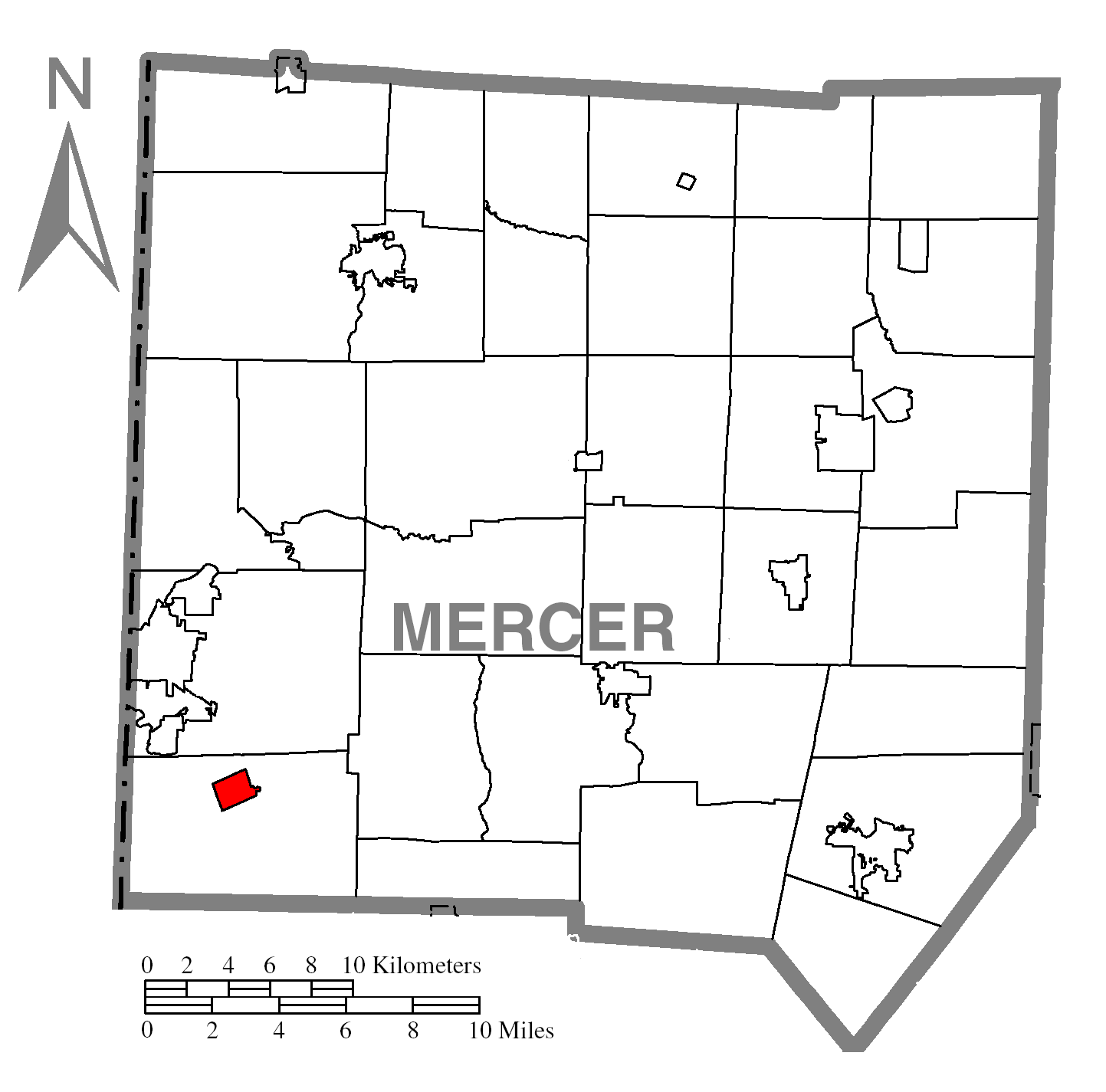
map_caption = Location of West Middlesex in Mercer County
map1 = Pennsylvania Locator Map.png
map1_locator = Pennsylvania
map2 = Map of USA PA.svg
map2_caption = Location of Pennsylvania in the United States
website =
footnotes =West Middlesex is a borough in Mercer County,
Pennsylvania , along theShenango River . The population was 929 at the 2000 census.Geography
West Middlesex is located at coor dms|41|10|25|N|80|27|25|W|city (41.173630, -80.456874)GR|1.
According to the
United States Census Bureau , the borough has a total area of 2.5km² (0.9 mi²), all land.Demographics
As of the
census GR|2 of 2000, there were 929 people, 372 households, and 274 families residing in the borough. Thepopulation density was 981.8 people per square mile (377.6/km²). There were 398 housing units at an average density of 420.6/sq mi (161.8/km²). The racial makeup of the borough was 98.06% White, 0.32% African American, 0.11% Native American, 0.97% Asian, 0.32% from other races, and 0.22% from two or more races. Hispanic or Latino of any race were 0.32% of the population.There were 372 households out of which 29.6% had children under the age of 18 living with them, 57.0% were married couples living together, 12.4% had a female householder with no husband present, and 26.1% were non-families. 24.2% of all households were made up of individuals and 10.8% had someone living alone who was 65 years of age or older. The average household size was 2.47 and the average family size was 2.91.
In the borough the population was spread out with 23.1% under the age of 18, 7.3% from 18 to 24, 26.6% from 25 to 44, 25.1% from 45 to 64, and 17.9% who were 65 years of age or older. The median age was 40 years. For every 100 females there were 85.4 males. For every 100 females age 18 and over, there were 85.5 males.
The median income for a household in the borough was $34,938, and the median income for a family was $38,906. Males had a median income of $32,857 versus $18,750 for females. The
per capita income for the borough was $16,332. About 2.3% of families and 4.7% of the population were below thepoverty line , including 1.4% of those under age 18 and 7.6% of those age 65 or over.Notable Residents
*
Alf Landon , formerGovernor of Kansas and Republican presidential candidate
*R.J. Bowers , formerNCAA All Time Leading Rusher andFormer Professional Football Player References

Wikimedia Foundation. 2010.