- Sheakleyville, Pennsylvania
Geobox|Borough
name = Sheakleyville
official_name =
category =Borough
image_size =
image_caption =
flag_size =
symbol =
symbol_size =
etymology_type =
etymology =
nickname =
motto =
country = United States
country_
state = Pennsylvania
state_
region_type = County
region = Mercer
district =
part_type =
part_count =
part =
part1 =
area_imperial = 0.2
area_land_imperial =
area_water_imperial =
area_urban_imperial =
area_metro_imperial =
location =
lat_d = 41
lat_m = 26
lat_s = 36
lat_NS = N
long_d = 80
long_m = 12
long_s = 26
long_EW = W
coordinates_type = region:US_type:city
population_as_of = 2000
population = 164
population_urban =
population_metro =
population_density_imperial = 1023.0
population_density_urban_imperial =
population_density_metro_imperial =
government =
established_type = Established
established =1820
established1_type =
established1 =
government_type =
mayor =
leader_type =
leader1_name =
leader1_type =
timezone = EST
utc_offset = -4
timezone_DST = EDT
utc_offset_DST = -5
postal_code = 16151
postal_code_type = Zip code
area_code = 724
area_code_type =
free_type =
free =
free1_type =
free1 =
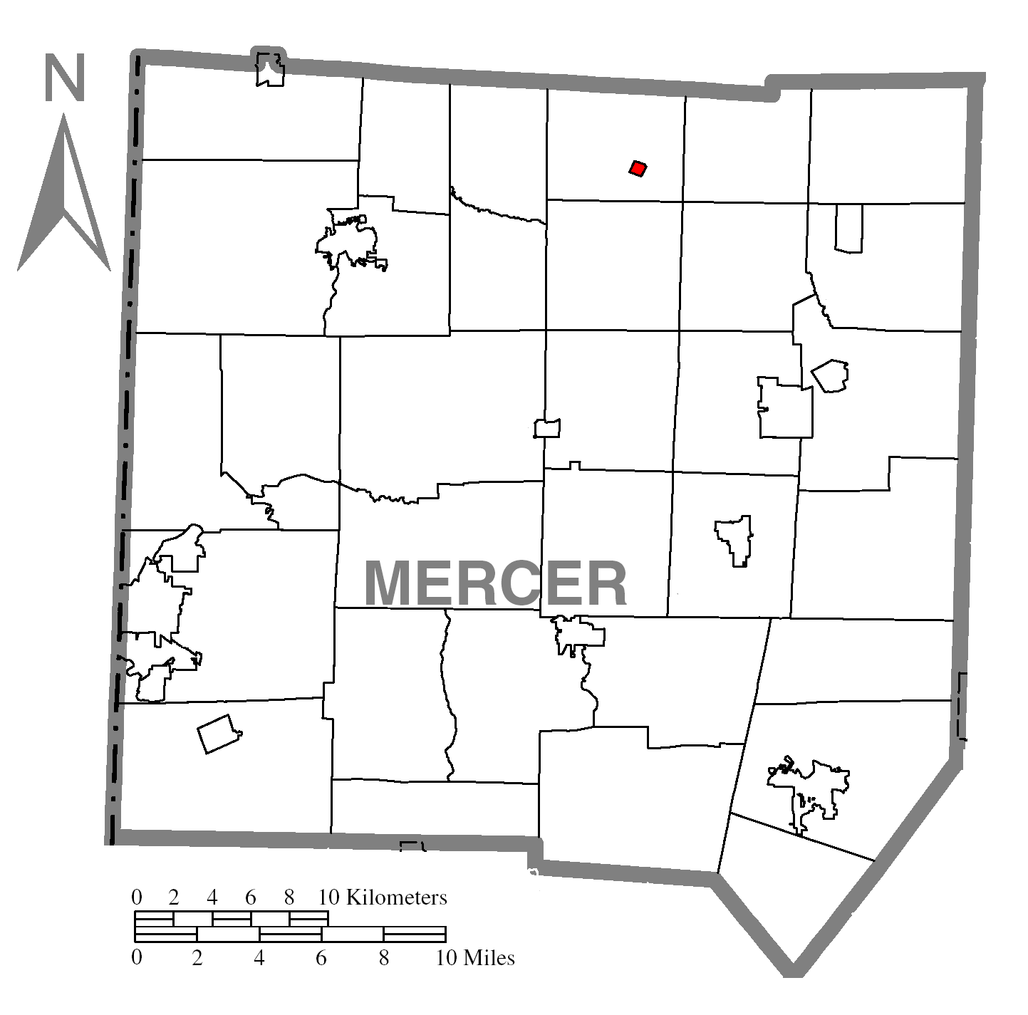
map_caption = Location of Sheakleyville in Mercer County
map1 = Pennsylvania Locator Map.png
map1_locator = Pennsylvania
map2 = Map of USA PA.svg
map2_caption = Location of Pennsylvania in the United States
website =
footnotes =Sheakleyville is a borough in Mercer County,
Pennsylvania ,United States . The population was 164 at the 2000 census.Geography
Sheakleyville is located at coor dms|41|26|36|N|80|12|26|W|city (41.443244, -80.207305)GR|1.
According to the
United States Census Bureau , the borough has a total area of 0.2square mile s (0.4km² ), all of it land.Demographics
As of the
census GR|2 of 2000, there were 164 people, 65 households, and 49 families residing in the borough. Thepopulation density was 1,023.0 people per square mile (395.8/km²). There were 71 housing units at an average density of 442.9/sq mi (171.3/km²). The racial makeup of the borough was 98.17% White, 0.61% Native American, and 1.22% from two or more races.There were 65 households out of which 33.8% had children under the age of 18 living with them, 67.7% were married couples living together, 6.2% had a female householder with no husband present, and 23.1% were non-families. 20.0% of all households were made up of individuals and 12.3% had someone living alone who was 65 years of age or older. The average household size was 2.52 and the average family size was 2.92.
In the borough the population was spread out with 21.3% under the age of 18, 8.5% from 18 to 24, 28.0% from 25 to 44, 26.8% from 45 to 64, and 15.2% who were 65 years of age or older. The median age was 40 years. For every 100 females there were 105.0 males. For every 100 females age 18 and over, there were 92.5 males.
The median income for a household in the borough was $28,750, and the median income for a family was $38,750. Males had a median income of $32,813 versus $22,083 for females. The
per capita income for the borough was $15,479. About 4.1% of families and 9.5% of the population were below thepoverty line , including 16.2% of those under the age of eighteen and 18.8% of those sixty five or over.References

Wikimedia Foundation. 2010.