- Champagné-Saint-Hilaire
-
Champagné-Saint-Hilaire

 Champagné-Saint-HilaireLocation within Poitou-Charentes region
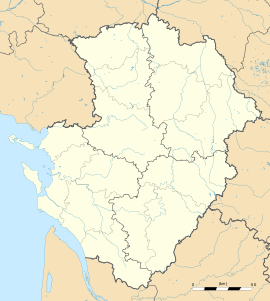 Champagné-Saint-Hilaire
Administration Country France Region Poitou-Charentes Department Vienne Arrondissement Montmorillon Canton Gençay Intercommunality Pays Gencéen Mayor Gilles Bossebœuf
(2008–2014)Statistics Elevation 99–195 m (325–640 ft)
(avg. 194 m/636 ft)Land area1 46.36 km2 (17.90 sq mi) Population2 928 (2006) - Density 20 /km2 (52 /sq mi) INSEE/Postal code 86052/ 86160 1 French Land Register data, which excludes lakes, ponds, glaciers > 1 km² (0.386 sq mi or 247 acres) and river estuaries. 2 Population without double counting: residents of multiple communes (e.g., students and military personnel) only counted once. Coordinates: 46°19′14″N 0°19′30″E / 46.3206°N 0.325°E
Champagné-Saint-Hilaire is a commune in the Vienne department in the Poitou-Charentes region in western France.
Champagné-Saint-Hilaire is located in the geographical area known as the Seuil du Poitou. It is also the highest commune in the vicinity.
See also
References
Categories:- Communes of Vienne
- Vienne geography stubs


Wikimedia Foundation. 2010.