- Charey
-
Charey


 ChareyLocation within Lorraine region
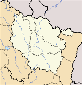 Charey
Administration Country France Region Lorraine Department Meurthe-et-Moselle Arrondissement Toul Canton Thiaucourt-Regniéville Intercommunality Communauté de communes des Trois Vallées Mayor Lionel Lara
(2008–2014)Statistics Elevation 205–312 m (673–1,024 ft)
(avg. 242 m/794 ft)Land area1 9.31 km2 (3.59 sq mi) Population2 64 (1999) - Density 7 /km2 (18 /sq mi) INSEE/Postal code 54119/ 54470 1 French Land Register data, which excludes lakes, ponds, glaciers > 1 km² (0.386 sq mi or 247 acres) and river estuaries. 2 Population without double counting: residents of multiple communes (e.g., students and military personnel) only counted once. Coordinates: 49°00′09″N 5°52′51″E / 49.0025°N 5.88083333333°E
Charey is a commune in the Meurthe-et-Moselle department in north-eastern France.
See also
- Communes of the Meurthe-et-Moselle department
- Parc naturel régional de Lorraine
Categories:- Communes of Meurthe-et-Moselle
- Meurthe-et-Moselle geography stubs


Wikimedia Foundation. 2010.