- Northwest Harborcreek, Pennsylvania
-
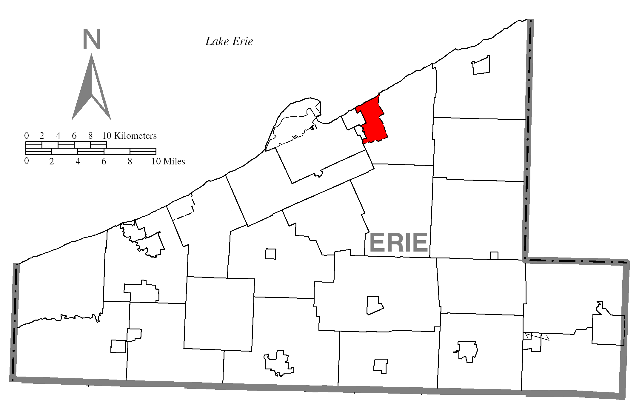
Northwest Harborcreek Census-designated place Country United States State Pennsylvania County Erie Coordinates 42°8′53″N 79°59′44″W / 42.14806°N 79.99556°W Area 5.0 sq mi (13 km2) Population 8,658 (2000) Density 1,722.3 / sq mi (665 / km2) Timezone EST (UTC-4) - summer (DST) EDT (UTC-5) Area code 814 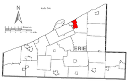 Location of Northwest Harborcreek in Erie County
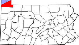 Location of Erie County in Pennsylvania
 Location of Pennsylvania in the United States
Northwest Harborcreek is an unincorporated census-designated place in Erie County, Pennsylvania, United States. The population was 8,658 at the 2000 census. It is part of the Erie Metropolitan Statistical Area.
Geography
Northwest Harborcreek is located at 42°8′53″N 79°59′44″W / 42.14806°N 79.99556°W (42.148144, -79.995597)[1].
According to the United States Census Bureau, the community has a total area of 5.0 square miles (13 km2), all of it land.
Demographics
As of the census[2] of 2000, there were 8,658 people, 3,165 households, and 2,335 families residing in the community. The population density was 1,722.3 people per square mile (664.6/km²). There were 3,294 housing units at an average density of 655.3/sq mi (252.8/km²). The racial makeup of the community was 97.41% White, 1.39% African American, 0.09% Native American, 0.59% Asian, 0.12% from other races, and 0.40% from two or more races. Hispanic or Latino of any race were 0.44% of the population.
There were 3,165 households out of which 31.0% had children under the age of 18 living with them, 62.9% were married couples living together, 7.9% had a female householder with no husband present, and 26.2% were non-families. 22.6% of all households were made up of individuals and 12.0% had someone living alone who was 65 years of age or older. The average household size was 2.60 and the average family size was 3.05.
The population is spread out with 23.3% under the age of 18, 7.9% from 18 to 24, 24.9% from 25 to 44, 25.4% from 45 to 64, and 18.5% who were 65 years of age or older. The median age was 42 years. For every 100 females there were 95.7 males. For every 100 females age 18 and over, there were 91.1 males.
The median income for a household in the community was $48,620, and the median income for a family was $55,774. Males had a median income of $41,250 versus $27,295 for females. The per capita income for the community was $21,135. About 2.7% of families and 5.4% of the population were below the poverty line, including 5.5% of those under age 18 and 7.3% of those age 65 or over.
References
- ^ "US Gazetteer files: 2010, 2000, and 1990". United States Census Bureau. 2011-02-12. http://www.census.gov/geo/www/gazetteer/gazette.html. Retrieved 2011-04-23.
- ^ "American FactFinder". United States Census Bureau. http://factfinder.census.gov. Retrieved 2008-01-31.
Municipalities and communities of Erie County, Pennsylvania Cities 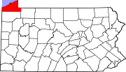
Boroughs Albion | Cranesville | Edinboro | Elgin | Girard | Lake City | McKean | Mill Village | North East | Platea | Union City | Waterford | Wattsburg | Wesleyville
Townships Amity | Concord | Conneaut | Elk Creek | Fairview | Franklin | Girard | Greene | Greenfield | Harborcreek | Lawrence Park | LeBoeuf | McKean | Millcreek | North East | Springfield | Summit | Union | Venango | Washington | Waterford | Wayne
CDPs Avonia | Northwest Harborcreek
Unincorporated
communitiesFairview | State Line
Categories:- Census-designated places in Erie County, Pennsylvania


Wikimedia Foundation. 2010.