- Cranesville, Pennsylvania
-
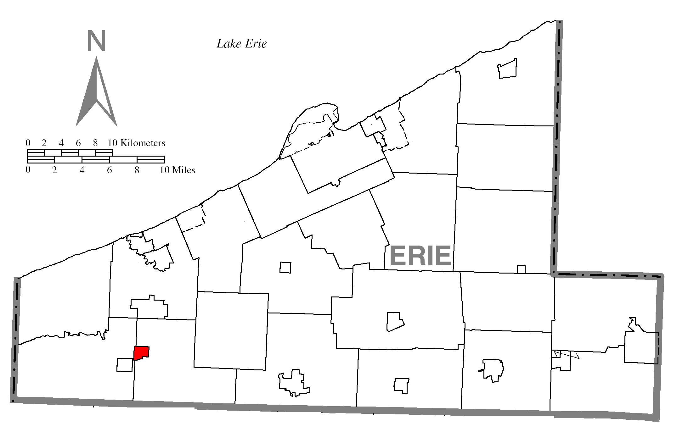
Cranesville Borough Country United States State Pennsylvania County Erie Coordinates 41°54′12″N 80°20′50″W / 41.90333°N 80.34722°W Area 0.9 sq mi (2 km2) Population 600 (2000) Density 648.7 / sq mi (250 / km2) Mayor Randy Terrill Timezone EST (UTC-4) - summer (DST) EDT (UTC-5) Zip code 16410 Area code 814  Location of Cransville in Erie County
 Location of Cransville within Pennsylvania
Cranesville is a borough in Erie County, Pennsylvania, United States. The population was 600 at the 2000 census. It is part of the Erie Metropolitan Statistical Area.
Contents
Geography
Cranesville is located at 41°54′12″N 80°20′50″W / 41.90333°N 80.34722°W (41.903313, -80.347089)[1].
According to the United States Census Bureau, the borough has a total area of 0.9 square miles (2.3 km2), all of it land.
Demographics
As of the census[2] of 2000, there were 600 people, 216 households, and 166 families residing in the borough. The population density was 648.7 people per square mile (251.8/km²). There were 221 housing units at an average density of 238.9 per square mile (92.7/km²). The racial makeup of the borough was 99.17% White, 0.33% Asian, and 0.50% from two or more races.
There were 216 households out of which 40.7% had children under the age of 18 living with them, 64.8% were married couples living together, 7.9% had a female householder with no husband present, and 22.7% were non-families. 18.5% of all households were made up of individuals and 8.3% had someone living alone who was 65 years of age or older. The average household size was 2.78 and the average family size was 3.18.
In the borough the population was spread out with 29.3% under the age of 18, 6.8% from 18 to 24, 32.3% from 25 to 44, 19.8% from 45 to 64, and 11.7% who were 65 years of age or older. The median age was 33 years. For every 100 females there were 103.4 males. For every 100 females age 18 and over, there were 99.1 males.
The median income for a household in the borough was $35,000, and the median income for a family was $37,500. Males had a median income of $28,068 versus $23,214 for females. The per capita income for the borough was $14,403. About 5.4% of families and 7.8% of the population were below the poverty line, including 8.8% of those under age 18 and none of those age 65 or over.
Education
The Borough of Cranesville is part of the Northwestern School District.
References
- ^ "US Gazetteer files: 2010, 2000, and 1990". United States Census Bureau. 2011-02-12. http://www.census.gov/geo/www/gazetteer/gazette.html. Retrieved 2011-04-23.
- ^ "American FactFinder". United States Census Bureau. http://factfinder.census.gov. Retrieved 2008-01-31.
Municipalities and communities of Erie County, Pennsylvania County seat: Erie Cities 
Boroughs Albion | Cranesville | Edinboro | Elgin | Girard | Lake City | McKean | Mill Village | North East | Platea | Union City | Waterford | Wattsburg | Wesleyville
Townships Amity | Concord | Conneaut | Elk Creek | Fairview | Franklin | Girard | Greene | Greenfield | Harborcreek | Lawrence Park | LeBoeuf | McKean | Millcreek | North East | Springfield | Summit | Union | Venango | Washington | Waterford | Wayne
CDPs Unincorporated
communitiesFairview | State Line
Categories:- Populated places established in 1800
- Boroughs in Erie County, Pennsylvania


Wikimedia Foundation. 2010.