- Orangeville, Pennsylvania
-
For other places with the same name, see Orangeville (disambiguation).
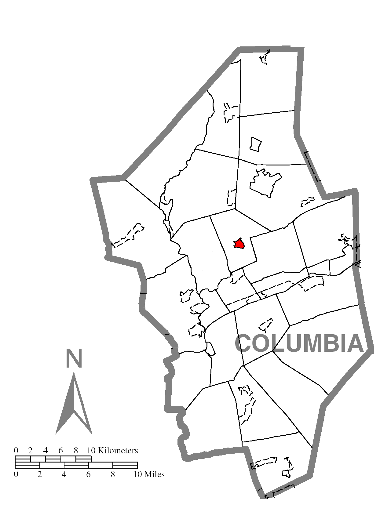
Orangeville, Pennsylvania — Borough — Map showing Orangeville in Columbia County Map showing Columbia County in Pennsylvania
 Pennsylvania
 Orangeville, Pennsylvania
Coordinates: 41°04′43″N 76°24′52″W / 41.07861°N 76.41444°WCoordinates: 41°04′43″N 76°24′52″W / 41.07861°N 76.41444°W Country United States State Pennsylvania County Columbia Settled 1822 Incorporated 1900 Government – Type Borough Council – Mayor David "Otto" Kurecian Area – Total 0.4 sq mi (1.1 km2) Population (2000) – Total 500 – Density 1,164.4/sq mi (449.0/km2) Time zone Eastern (EST) (UTC-5) – Summer (DST) EDT (UTC-4) Zip code 17859 Area code(s) 570 Orangeville is a borough in Columbia County, Pennsylvania. The population was 500 at the 2000 census. It is part of the Bloomsburg–Berwick Micropolitan Statistical Area.
Contents
Geography
Orangeville is located at 41°04′43″N 76°24′52″W / 41.078618°N 76.414573°W.[1]
According to the United States Census Bureau, the borough has a total area of 0.4 square miles (1.0 km2), all of it land.
Demographics
As of the census[2] of 2000, there were 500 people, 146 households, and 95 families residing in the borough. The population density was 1,164.4 people per square mile (449.0/km2). There were 158 housing units at an average density of 368.0 per square mile (141.9/km2). The racial makeup of the borough was 98.00% White, 0.40% African American, 0.20% Native American, 0.20% Pacific Islander, 0.20% from other races, and 1.00% from two or more races. Hispanic or Latino of any race were 1.00% of the population.
There were 146 households out of which 31.5% had children under the age of 18 living with them, 54.1% were married couples living together, 9.6% had a female householder with no husband present, and 34.9% were non-families. 29.5% of all households were made up of individuals and 11.0% had someone living alone who was 65 years of age or older. The average household size was 2.49 and the average family size was 3.12.
In the borough the population was spread out with 20.2% under the age of 18, 6.6% from 18 to 24, 21.4% from 25 to 44, 20.6% from 45 to 64, and 31.2% who were 65 years of age or older. The median age was 47 years. For every 100 females there were 83.8 males. For every 100 females age 18 and over, there were 79.7 males.
The median income for a household in the borough was $35,000, and the median income for a family was $43,542. Males had a median income of $31,458 versus $20,875 for females. The per capita income for the borough was $17,167. About 1.0% of families and 6.0% of the population were below the poverty line, including 2.1% of those under age 18 and 19.0% of those age 65 or over.
Education
The area's local school district is the Central Columbia School District. It serves about 2,100 students and features three academic buildings and one administration building. Students are divided into the Elementary School (grades K through 4), Middle School (grades 5 through 8) and the High School (grades 9 through 12).
According to the 2003 data collected by Standard & Poor's, 18.4% of students are economically disadvantaged, 13.1% receive special education services and 71.1% of students pass the state-mandated testing. The district spends about $6,999 per student.[3]
In 2007, the Pittsburgh Business Times ranked the district 146th out of 499 Pennsylvania school districts based on three years of Pennsylvania System of Student Assessment test scores.[4]
 Map of Columbia County, Pennsylvania School Districts, with Central Columbia School District in blue in the center of the county.
The Middle School is under construction, as of 2006. Several small additions are being added to accommodate the increasing class size, and a major renovation on the existing portion will bring it up to code. It's expected to be near completion by the beginning of the 2007-2008 school year.
References
- ^ "US Gazetteer files: 2010, 2000, and 1990". United States Census Bureau. 2011-02-12. http://www.census.gov/geo/www/gazetteer/gazette.html. Retrieved 2011-04-23.
- ^ "American FactFinder". United States Census Bureau. http://factfinder.census.gov. Retrieved 2008-01-31.
- ^ Central Columbia School District report, School Matters, Standard & Poors 2003, 2005.
- ^ Blacklidge, Karen, Valley schools all over the Chart, The Daily Item, June 6, 2007. http://www.dailyitem.com/archivesearch/local_story_163000144.html
Municipalities and communities of Columbia County, Pennsylvania Town 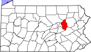
Boroughs Ashland‡ | Benton | Berwick | Briar Creek | Catawissa | Centralia | Millville | Orangeville | Stillwater
Townships CDPs Almedia | Aristes | Buckhorn | Espy | Eyers Grove | Fernville | Foundryville | Iola | Jamison City | Jerseytown | Jonestown | Lightstreet | Lime Ridge | Locustdale | Mainville | Mifflinville | Numidia | Rohrsburg | Rupert | Slabtown | Waller | Wilburton Number One | Wilburton Number Two
Footnotes ‡This populated place also has portions in an adjacent county or counties
Categories:- Populated places established in 1822
- Bloomsburg-Berwick micropolitan area
- Boroughs in Columbia County, Pennsylvania


Wikimedia Foundation. 2010.