- Cleveland Township, Columbia County, Pennsylvania
-
Cleveland Township,
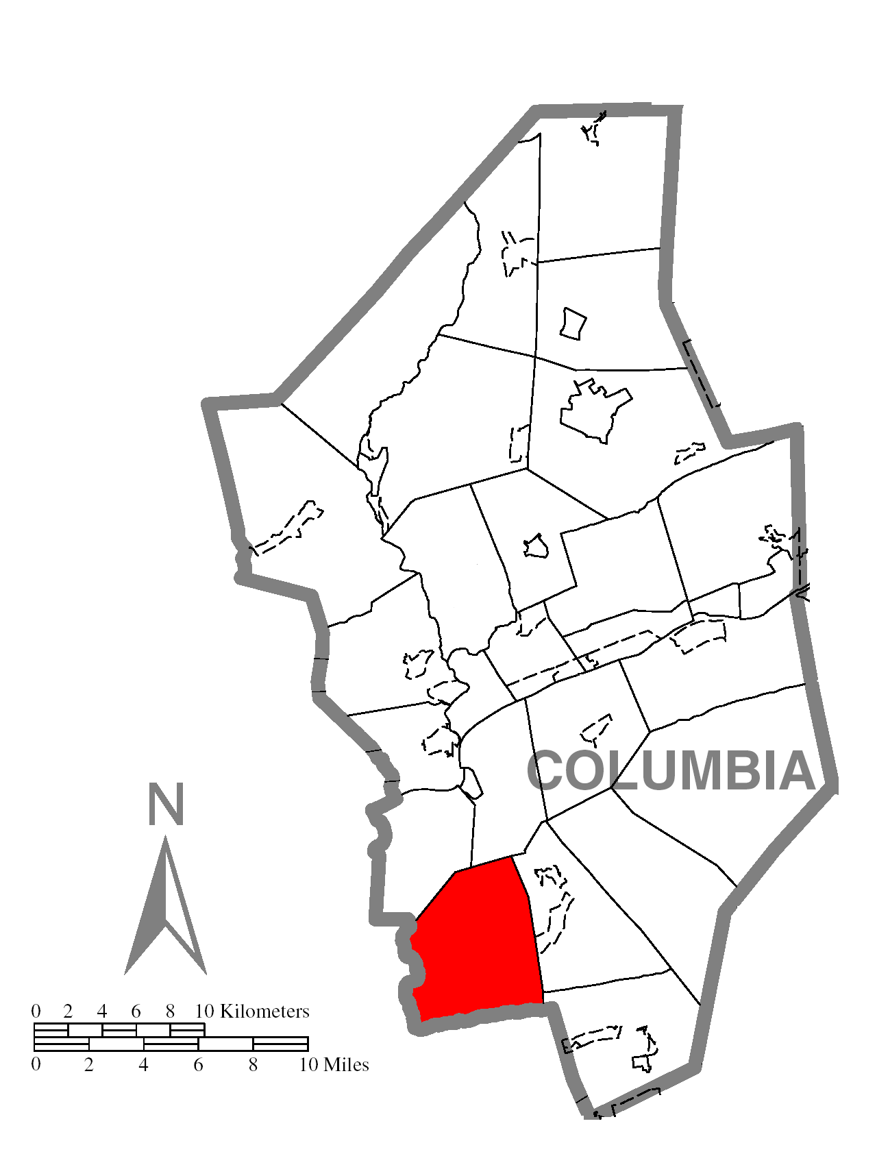
Pennsylvania— Township — Map of Columbia County, Pennsylvania highlighting Cleveland Township Map of Columbia County, Pennsylvania
Country United States State Pennsylvania County Columbia Settled 1772 Incorporated 1893 Area – Total 23.4 sq mi (60.7 km2) Population (2000) – Total 1,004 – Density 43.0/sq mi (16.6/km2) Time zone Eastern (EST) (UTC-5) – Summer (DST) EDT (UTC-4) Area code(s) 570 Cleveland Township is a township in Columbia County, Pennsylvania, United States. The population was 1,004 at the 2000 census.
Geography
According to the United States Census Bureau, the township has a total area of 23.4 square miles (61 km2), of which, 23.3 square miles (60 km2) of it is land and 0.1 square miles (0.26 km2) of it (0.43%) is water.
Demographics
As of the census[1] of 2000, there were 1,004 people, 390 households, and 308 families residing in the township. The population density was 43.0 people per square mile (16.6/km²). There were 477 housing units at an average density of 20.4/sq mi (7.9/km²). The racial makeup of the township was 99.80% White, 0.10% African American, and 0.10% from two or more races. Hispanic or Latino of any race were 0.30% of the population.
There were 390 households out of which 27.7% had children under the age of 18 living with them, 66.7% were married couples living together, 5.1% had a female householder with no husband present, and 21.0% were non-families. 15.9% of all households were made up of individuals and 6.7% had someone living alone who was 65 years of age or older. The average household size was 2.57 and the average family size was 2.88.
In the township the population was spread out with 19.7% under the age of 18, 6.8% from 18 to 24, 28.0% from 25 to 44, 29.3% from 45 to 64, and 16.2% who were 65 years of age or older. The median age was 43 years. For every 100 females there were 103.7 males. For every 100 females age 18 and over, there were 104.6 males.
The median income for a household in the township was $38,490, and the median income for a family was $42,824. Males had a median income of $30,985 versus $22,708 for females. The per capita income for the township was $16,982. About 7.6% of families and 7.8% of the population were below the poverty line, including 8.7% of those under age 18 and 11.8% of those age 65 or over.
References
- ^ "American FactFinder". United States Census Bureau. http://factfinder.census.gov. Retrieved 2008-01-31.
Municipalities and communities of Columbia County, Pennsylvania Town 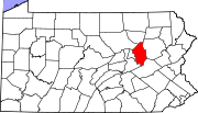
Boroughs Ashland‡ | Benton | Berwick | Briar Creek | Catawissa | Centralia | Millville | Orangeville | Stillwater
Townships CDPs Almedia | Aristes | Buckhorn | Espy | Eyers Grove | Fernville | Foundryville | Iola | Jamison City | Jerseytown | Jonestown | Lightstreet | Lime Ridge | Locustdale | Mainville | Mifflinville | Numidia | Rohrsburg | Rupert | Slabtown | Waller | Wilburton Number One | Wilburton Number Two
Footnotes ‡This populated place also has portions in an adjacent county or counties
Coordinates: 40°53′00″N 76°26′59″W / 40.8833333°N 76.44972°W
Categories:- Populated places established in 1893
- Bloomsburg-Berwick micropolitan area
- Townships in Columbia County, Pennsylvania

Wikimedia Foundation. 2010.