- Nesquehoning, Pennsylvania
-
Borough of Nesquehoning Settlement Country United States State Pennsylvania County Carbon Elevation 830 ft (253 m) Coordinates 40°52′05″N 75°49′27″W / 40.86806°N 75.82417°W Area 21.6 sq mi (55.9 km2) - land 21.2 sq mi (55 km2) - water 0.4 sq mi (1 km2), 1.85% Population 3,288 (2000) Density 155.4 / sq mi (60 / km2) Timezone EST (UTC-5) - summer (DST) EDT (UTC-4) Area code 570  Location of Nesquehoning in Carbon County
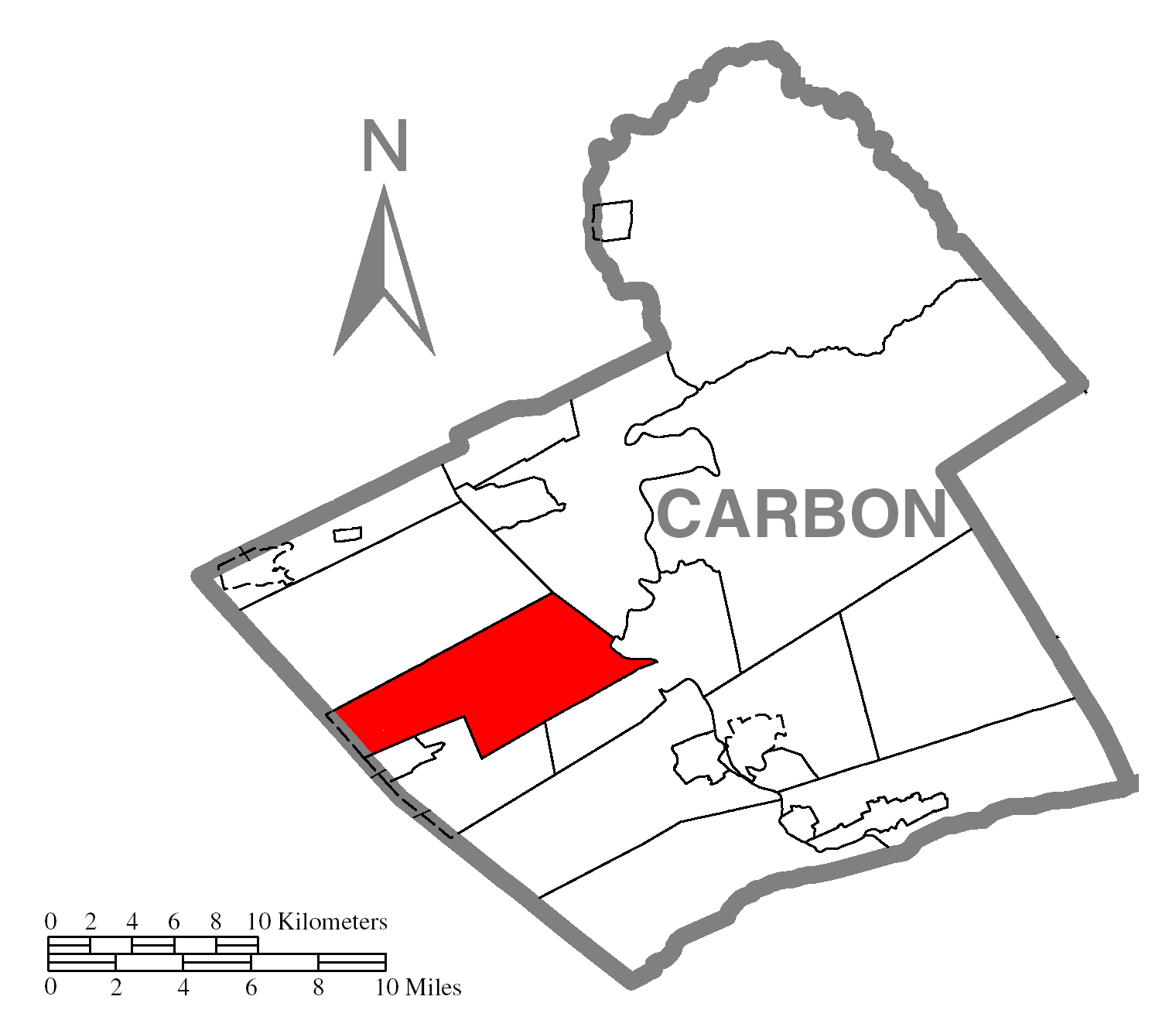
 Location of Nesquehoning in Pennsylvania
 Location of Pennsylvania in the United States
Nesquehoning is a borough in Carbon County, Pennsylvania, United States. The population was 3,288 at the 2000 census. The name is of Native American origin, commonly believed to signify "narrow valley;" however native language scholars translate the name as "at the black lick" or "at the dirty lick," referring to mineral licks frequented by deer or other animals.[1] Nesquehoning was established as a result of the anthracite coal mining industry. It was incorporated as a borough in 1974, having previously been a part of Mauch Chunk Township.
Contents
Geography
Nesquehoning is located at 40°52′5″N 75°49′27″W / 40.86806°N 75.82417°W (40.868178, -75.824176).[2]
According to the United States Census Bureau, the borough has a total area of 21.6 square miles (55.9 km²), of which, 21.2 square miles (54.8 km²) of it is land and 0.4 square miles (1.1 km²) of it (1.90%) is water. Nesquehoning is located 3 miles west of Jim Thorpe and 4 miles northeast of Lansford. Nesquehoning's elevation is at 830 feet above sea level.
Neighborhoods
Nesquehoning can be roughly divided into four neighborhoods:
Nesquehoning Village - This neighborhood is located in the southeastern section of the Borough with the Nesquehoning Creek serving as its northern border. More than half of the Borough's residents live in this neighborhood.
New Columbus - This neighborhood includes the area north of the Nesquehoning Creek, opposite Nesquehoning Village. The second largest neighborhood in terms of the number of people next to the Nesquehoning neighborhood, development of the New Columbus neighborhood was a result of relocating the Little Italy section of Nesquehoning.
Old Hauto - This neighborhood is in the southwestern section of the Borough, at the base of Nesquehoning Mountain to the south. It is bordered by the Nesquehoning Creek and the former Nesquehoning Valley Railroad (now owned by the County of Carbon) on the north. There are two hamlets or housing clusters in this neighborhood. One is the historical Old Hauto Village area, which is located in the west along PA State Route 54. The other housing cluster is a subdivision development located in the easterly part of the neighborhood between PA Route 54 and Park Avenue. It was developed beginning in the late 1960s and is known locally as Hauto Valley Estates.
Lake Hauto - This neighborhood is a lakeside resort type community situated on the northern side of Lake Hauto. Lake Hauto is a private community. Although often thought of as being in Nesquehoning, the majority of the Lake Hauto community is actually located in neighboring Rush Township, Schuylkill County.
Demographics
As of the census[3] of 2000, there were 3,288 people, 1,355 households, and 864 families residing in the borough. The population density was 155.4 people per square mile (60.0/km²). There were 1,599 housing units at an average density of 75.6 per square mile (29.2/km²). The racial makeup of the borough was 97.69% White, 0.64% African American, 0.24% Native American, 0.43% Asian, 0.30% from other races, and 0.70% from two or more races. Hispanic or Latino of any race were 1.52% of the population.
There were 1,355 households, of which 25.0% had children under the age of 18 living with them, 48.9% were married couples living together, 10.5% had a female householder with no husband present, and 36.2% were non-families. 32.0% of all households were made up of individuals and 17.6% had someone living alone who was 65 years of age or older. The average household size was 2.30 and the average family size was 2.89.
In the borough the population was spread over all age groups, with 18.8% under the age of 18, 8.3% from 18 to 24, 28.7% from 25 to 44, 23.0% from 45 to 64, and 21.3% who were 65 years of age or older. The median age was 41 years. For every 100 females there were 98.9 males. For every 100 females age 18 and over, there were 96.3 males.
The median income for a household in the borough was $35,902, and the median income for a family was $41,855. Males had a median income of $30,417 versus $19,291 for females. The per capita income for the borough was $16,820. About 2.0% of families and 9.7% of the population were below the poverty line, including 3.0% of those under age 18 and 23.4% of those age 65 or over.
Economy
Nesquehoning is home to the Kovatch Organization, a family owned group of companies, and the largest employer in the borough. The Organization includes KME Fire Apparatus, which manufactures custom-built fire fighting vehicles for a variety of markets worldwide, Kovatch Corporation, which manufactures specialty heavy duty vehicles, including aircraft refuelers, and the Kovatch auto dealerships.[4] The company employs approximately 700 employees in Nesquehoning, providing many jobs for the area.
A solar energy developer is planning to build the state's largest solar energy plant in Nesquehoning. Developers want to construct a $65 million, 10.6 megawatt photovoltaic solar energy plant and education center on 120 acres near the Green Acres Industrial Park. The power plant would consist of approximately 45,000 solar panels, and produce enough energy to power about 1,500 homes.[5]
Nesquehoning is a home to ASTI Electric Inc. This Organization is one of the largest Electrical Contractors in the Lehigh Valley specializing in Residential, Commercial and Industrial markets.
Education
The residents of Nesquehoning are served by the Panther Valley School District. Some of the residents of Nesquehoning may also be served by a private school, Marian Catholic High School, which accommodates students in grades 9-12 and is located near Tamaqua, Pennsylvania. Preceding schools of Marian is Our Lady of the Angels which houses grades K-8.
Notable people
- Gene Snitsky, former World Wrestling Entertainment professional wrestler.
References
- ^ Donehoo, George P. "A History of the Indian Villages and Place Names in Pennsylvania" Harrisburg, PA 1928 (Reprinted, Wennawoods Publishing, Lewisburg, Pa., 1998)
- ^ "US Gazetteer files: 2010, 2000, and 1990". United States Census Bureau. 2011-02-12. http://www.census.gov/geo/www/gazetteer/gazette.html. Retrieved 2011-04-23.
- ^ "American FactFinder". United States Census Bureau. http://factfinder.census.gov. Retrieved 2008-01-31.
- ^ www.kovatch.com
- ^ "Carbon to get 2nd-biggest solar farm" John J. Moser, The Morning Call, August 8, 2008
External links
- Nesquehoning information site
- City Data for Nesquehoning
- News on Solar Energy Project
Municipalities and communities of Carbon County, Pennsylvania Boroughs Beaver Meadows | Bowmanstown | East Side | Jim Thorpe | Lansford | Lehighton | Nesquehoning | Palmerton | Parryville | Summit Hill | Weatherly | Weissport

Townships CDPs Unincorporated
communitiesAlbrightsville | Audenried | Forest Inn | Harrity | Lake Harmony | Little Gap | Normal Square | Packerton
Categories:- Populated places established in 1827
- Boroughs in Carbon County, Pennsylvania


Wikimedia Foundation. 2010.