- Lansford, Pennsylvania
Geobox Borough
name = Borough of Lansford
native_name =
other_name =
other_name1 =
category =
image_size =
image_caption =
flag_size =
symbol =
symbol_size =
country = United States
state = Pennsylvania
region = Carbon
region_type = County
district =
area_imperial = 1.6
area_land_imperial = 1.6
area_water_imperial = 0.0
area_water_percentage = auto
area_percentage_round = 2
area_round = 1
location =
lat_d = 40
lat_m = 49
lat_s = 53
lat_NS = N
long_d = 75
long_m = 53
long_s = 0
long_EW = W
coordinates_display = inline,title
coordinates_type = type:city_region:US-PA
elevation_imperial = 1145
elevation_round = 1
population_as_of = 2000
population = 4230
population_density_imperial = 2710.0
population_density_round = 1
established_type =
established =
mayor =
timezone = EST
utc_offset = -5
timezone_DST = EDT
utc_offset_DST = -4
postal_code = 18232
postal_code_type = ZIP Code
area_code = 570
area_code_type =
code2_type =
code2 =
free_type =
free =
free1_type =
free1 =
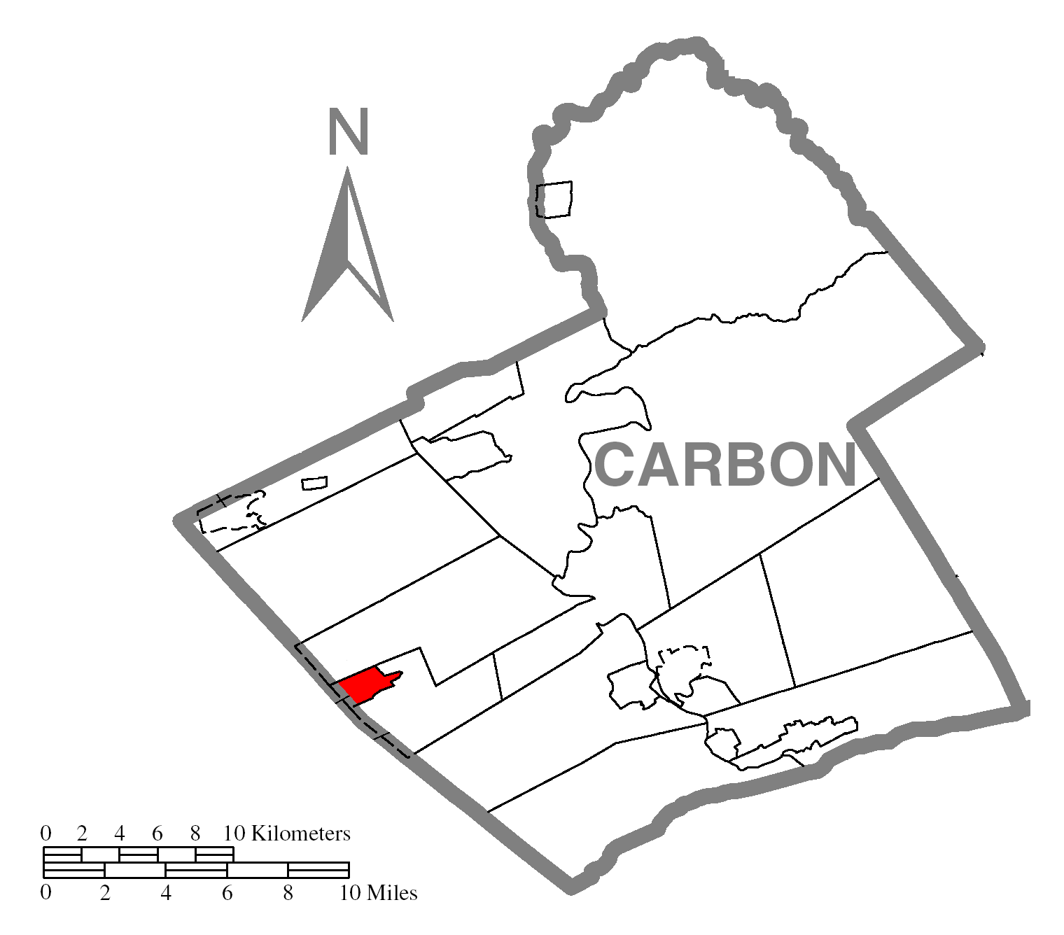
map_caption = Location of Lansford in Carbon County
map1 = Pennsylvania Locator Map.png
map1_locator = Pennsylvania
map2 = Map of USA PA.svg
map2_caption = Location of Pennsylvania in the United States
website =Lansford is a borough in Carbon County,
Pennsylvania , 35 miles (56 km) (direct) north of Reading. Settled in 1845, Lansford was incorporated in 1876. In 1900, 4,888 people lived in Lansford; in 1910, 8,321 people inhabited it, and in 1940, 8,710 residents called Lansford home. The population was 4,230 at the 2000 census. Lansford is located south of Hazleton, nearanthracite coal mine s.The old No. 9 Wash Shanty coal mine in Lansford, which operated from 1855 to 1972, is now open as a
tourist attraction offering tours of the mine. One of the bosses of the mine was shot as part of the union strife which included the trial of theMolly Maguires . Amuseum displaying a collection of mining artifacts is also on the site.Geography
According to the
United States Census Bureau , the borough has a total area of 1.6square mile s (4.0km² ), all of it land. Lansford is 1 mile north of Summit Hill, and 10 miles west of Lehighton and 5 miles northeast of Tamaqua. Lansford's elevation is 1145 feet above sea level.Since 1952, Lansford has been home to radio station WLSH at 1410 on the AM dial. The call letters stand for Lansford and neighboring Summit Hill.
Joseph Horvath is the Mayor of Lansford and is assisted by a council. The town also has a fire department, police force, and ambulance corporation.
Lansford is part of the Panther Valley School District and home of their newly remodeled football stadium and walking track.
Demographics
As of the
census GR|2 of 2000, there were 4,230 people, 1,878 households, and 1,098 families residing in the borough. Thepopulation density was 2,710.0 people per square mile (1,046.9/km²). There were 2,228 housing units at an average density of 1,427.4/sq mi (551.4/km²). The racial makeup of the borough was 98.18% White, 0.35% African American, 0.07% Native American, 0.31% Asian, 0.07% Pacific Islander, 0.28% from other races, and 0.73% from two or more races. Hispanic or Latino of any race were 1.42% of the population.There were 1,878 households out of which 24.6% had children under the age of 18 living with them, 38.4% were married couples living together, 14.9% had a female householder with no husband present, and 41.5% were non-families. 37.7% of all households were made up of individuals and 23.4% had someone living alone who was 65 years of age or older. The average household size was 2.23 and the average family size was 2.92.
In the borough the population was spread out with 22.5% under the age of 18, 7.3% from 18 to 24, 25.6% from 25 to 44, 19.1% from 45 to 64, and 25.5% who were 65 years of age or older. The median age was 41 years. For every 100 females there were 84.1 males. For every 100 females age 18 and over, there were 80.2 males.
The median income for a household in the borough was $27,478, and the median income for a family was $37,773. Males had a median income of $30,405 versus $22,255 for females. The
per capita income for the borough was $14,347. About 10.9% of families and 14.3% of the population were below thepoverty line , including 20.5% of those under age 18 and 10.4% of those age 65 or over.Notable residents
*
Jimmy Dorsey - big band leader
*Tommy Dorsey - big band leader
*Richard Marcinko — founder ofSEAL Team SIX andRed Cell ; and co-author ofNY Times bestseller "Rogue Warrior "References
Wikimedia Foundation. 2010.