- Summit Hill, Pennsylvania
Geobox Borough
name = Borough of Summit Hill
native_name =
other_name =
other_name1 =
category =
image_size =
image_caption =
flag_size =
symbol =
symbol_size =
country = United States
state = Pennsylvania
region = Carbon
region_type = County
district =
area_imperial = 9.4
area_land_imperial = 8.9
area_water_imperial = 0.5
area_water_percentage = auto
area_percentage_round = 2
area_round = 1
location =
lat_d = 40
lat_m = 49
lat_s = 39
lat_NS = N
long_d = 75
long_m = 51
long_s = 57
long_EW = W
elevation_imperial = 837
elevation_round = 1
population_as_of = 2000
population = 2974
population_density_imperial = 333.7
population_density_round = 1
established_type =
established =
mayor =
timezone = EST
utc_offset = -5
timezone_DST = EDT
utc_offset_DST = -4
postal_code = 18250
postal_code_type =Zip Code
area_code = 570
area_code_type =
code2_type =
code2 =
free_type =
free =
free1_type =
free1 =
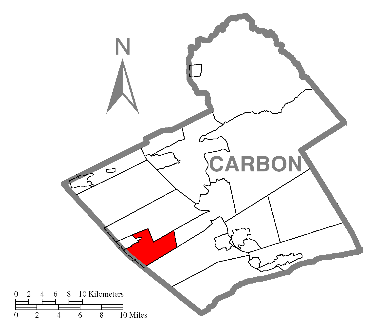
map_caption = Location of Summit Hill in Carbon County
map1 = Pennsylvania Locator Map.png
map1_locator = Pennsylvania
map2 = Map of USA PA.svg
map2_caption = Location of Pennsylvania in the United States
website = http://www.summithillborough.comSummit Hill is a borough in Carbon County,
Pennsylvania ,United States . The population was 2,974 at the 2000 census.Geography
Summit Hill is located at coor dms|40|49|39|N|75|51|57|W|city (40.827420, -75.865892).GR|1
According to the
United States Census Bureau , the borough has a total area of 9.4square mile s (24.4km² ), of which, 8.9 square miles (23.1 km²) of it is land and 0.5 square miles (1.3 km²) of it (5.31%) is water. Summit Hill is located 6 miles southwest of Jim Thorpe and 1 mile south of Lansford. Summit Hill's elevation is at 837 feet above sea level.Demographics
As of the
census GR|2 of 2000, there were 2,974 people, 1,291 households, and 844 families residing in the borough. Thepopulation density was 333.7 people per square mile (128.9/km²). There were 1,451 housing units at an average density of 162.8/sq mi (62.9/km²). The racial makeup of the borough was 98.99% White, 0.07% African American, 0.10% Native American, 0.17% Asian, 0.07% from other races, and 0.61% from two or more races. Hispanic or Latino of any race were 0.40% of the population.There were 1,291 households out of which 25.3% had children under the age of 18 living with them, 50.1% were married couples living together, 10.6% had a female householder with no husband present, and 34.6% were non-families. 31.4% of all households were made up of individuals and 18.5% had someone living alone who was 65 years of age or older. The average household size was 2.30 and the average family size was 2.86.
In the borough the population was spread out with 20.1% under the age of 18, 6.9% from 18 to 24, 27.6% from 25 to 44, 23.4% from 45 to 64, and 22.1% who were 65 years of age or older. The median age was 42 years. For every 100 females there were 92.7 males. For every 100 females age 18 and over, there were 89.9 males.
The median income for a household in the borough was $37,287, and the median income for a family was $44,500. Males had a median income of $36,627 versus $23,507 for females. The
per capita income for the borough was $21,166. About 4.0% of families and 7.5% of the population were below thepoverty line , including 8.4% of those under age 18 and 6.2% of those age 65 or over.Notable persons
*Colonel Thomas F. Breslin - Engineer, WWII
Bataan Death March prisoner
*Samuel McLean (congressman) - American politician who representedMontana in theUnited States House of Representatives References
External links
* [http://www.summithillborough.com/ Borough of Summit Hill]
* [http://www.summit-hill.com/ A historical look at Summit Hill]
Wikimedia Foundation. 2010.