- Gaziosmanpaşa
Infobox Settlement
settlement_type = Town
subdivision_type = Country
subdivision_name = TUR
timezone=EET
utc_offset=+2
map_caption =Location of PAGENAME within Turkey.
timezone_DST=EEST
utc_offset_DST=+3official_name = Gaziosmanpaşa (Taşlıtarla)
image_caption =
image_blank_emblem = Gaziosmanpasalogo.gif
blank_emblem_type =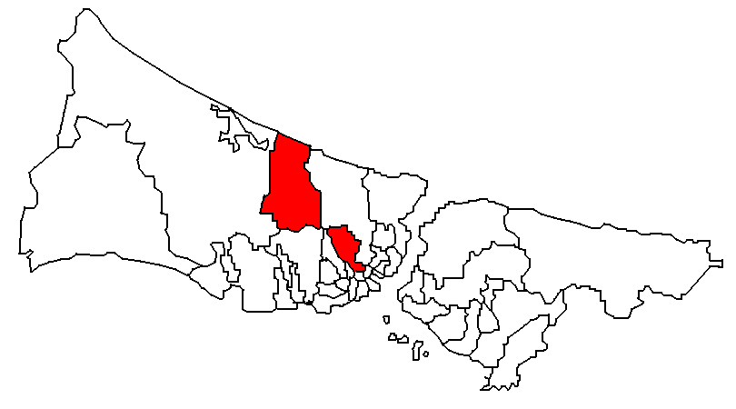
subdivision_type1=Region
subdivision_name1 = Marmara
subdivision_type2=Province
subdivision_name2 = Istanbul| population_total = 1.013.048 [http://report.tuik.gov.tr/reports/rwservlet?adnks=&report=turkiye_ilce_koy_sehir.RDF&p_il1=34&p_kod=1&desformat=html&ENVID=adnksEnv (TUIK)] |population_footnotes=
population_as_of =| 2008
population_footnotes =
population_density_km2 =
area_total_km2 = |elevation_m = 0|latd =
latm =
latNS =
longd =
longm =
longEW =
postal_code_type=Postal code
postal_code = 34 2xx
area_code = 0212 4xx xx xx
0212 5xx xx xx
0212 6xx xx xx
0212 76x xx xx (2village s)
blank_info = 34|blank_name=Licence plate
leader_title=Mayor
leader_name = Erhan Erol
website = [http://www.gaziosmanpasa.bel.tr/changelang.asp?lang=4 Gaziosmanpaşa Municipality]Gaziosmanpaşa (old name: "Taşlıtarla") is an impoverished
working class suburb ofİstanbul ,Turkey , on itsEurope an side. With a population of 1,000,000 plus, it is one of the most populous districts. The area is extremely large stretching to the outskirts of the city and up to the Black Sea. It includes small outlyingvillage s in its boundaries.History
This was empty, stony pasture until the 1950's when immigrants from the Balkans were settled here. Much of their housing was illegally built, primitive tiny cottages. Gaziosmanpaşa expanded rapidly during the 1970s and 80s due to migration from eastern Anatolia. The population is still growing with half the people under 20 years old.
Gaziosmanpaşa today
The centre of Gaziosmanpaşa is still inhabited by the descendents of the 1950s and 1960s Balkan immigrants. Now most of the original illegal houses are being pulled down and replaced with semi-legal blocks of flats, to house the children and grandchildren.
Other areas, often isolated communities far out of the city, are dominated by populations of migrants from Anatolia. These areas are an
ethnic , religious and politicalmelting pot . In particular, one area of Gaziosmanpaşa has a substantial population of migrants fromTunceli Province , a province mainly populated by people who claim both Kurdish andAlevi identities. The mixture of people plus the number of young people in the communities has at times given Gaziosmanpaşa the unfortunate reputation for being the centre of crime and of left and right wing violence inİstanbul , with many İstanbul people referring to the area as 'little Texas'.The city council is trying to spend its way out of this situation by putting in sports facilities, theatres, shopping centres and better transport to the city. But still more and more housing is being built. As the area has grown without sufficient control or regulations the city is still struggling to put in schools and other infrastructure throughout Gaziosmanpaşa to support the population, while industrial development is taking place too.
The area itself suffers from
unemployment despite the industry coming in, and the main employers are small workshops producing light fittings, electrical goods, clothing, lathe and metalwork and car repairs.The district was named after
Gazi Osman Pasha a prominent Ottoman general who had been active in the Balkans.References
External links
Wikimedia Foundation. 2010.