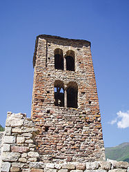
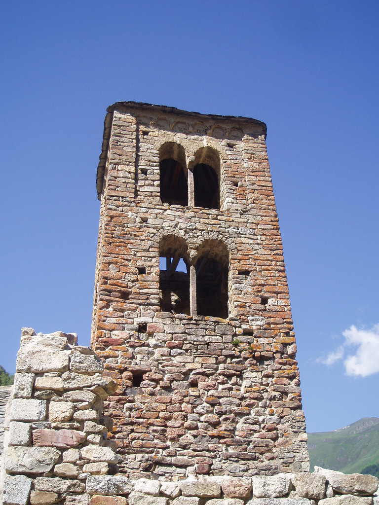
- Mérens-les-Vals
-
Not to be confused with Mérens.
Mérens-les-Vals

 Mérens-les-Vals
Administration Country France Region Midi-Pyrénées Department Ariège Arrondissement Foix Canton Ax-les-Thermes Intercommunality Vallées d'Ax Mayor Jean-Pierre Sicre
(2008–2014)Statistics Elevation 929–2,840 m (3,048–9,320 ft)
(avg. 1,050 m/3,440 ft)Land area1 80.12 km2 (30.93 sq mi) Population2 186 (2008) - Density 2 /km2 (5.2 /sq mi) INSEE/Postal code 09189/ 09110 1 French Land Register data, which excludes lakes, ponds, glaciers > 1 km² (0.386 sq mi or 247 acres) and river estuaries. 2 Population without double counting: residents of multiple communes (e.g., students and military personnel) only counted once. Coordinates: 42°39′32″N 1°50′13″E / 42.6588888889°N 1.83694444444°E
Mérens-les-Vals is a commune in the Ariège department in southwestern France. Its demonym is Mérengois.
Contents
Population
Historical population of Mérens-les-Vals 1962 1968 1975 1982 1990 1999 2008 114 195 157 143 149 180 186 Geography
Mérens-les-Vals, as its name implies, has several valleys. The village is at the confluence of three valleys: Ariège, Nabre and Morgoulliou. The village has a train station (Gare de Mérens-les-Vals) on the Portet-Saint-Simon–Puigcerdà railway. The night train from Gare d'Austerlitz, Paris to Latour-de-Carol stops here. The journey taking about nine hours. There are six local trains a day to Toulouse, this journey takes 2 hrs 15mins.
See also
References
Categories:- Communes of Ariège
- Ariège geography stubs

Wikimedia Foundation. 2010.