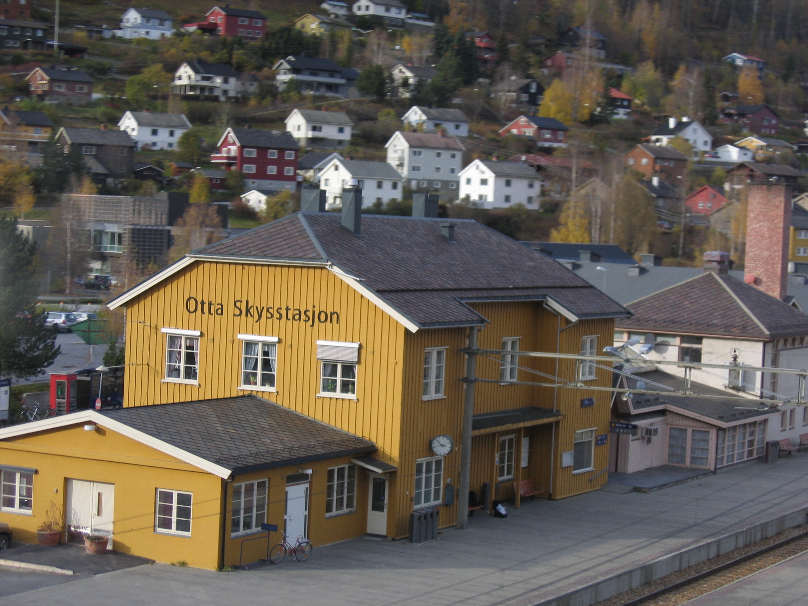
Otta Station

Otta Station
Otta
Otta stasjon.JPG
Location
Place Otta
Municipality Sel
Coordinates 61°46′20″N 9°32′12″E / 61.77222°N 9.53667°E / 61.77222; 9.53667Coordinates: 61°46′20″N 9°32′12″E / 61.77222°N 9.53667°E / 61.77222; 9.53667
Line(s) Dovre Line
Distance 297.24 kilometers (184.70 mi)
Elevation 287 meters (942 ft) amsl
Service
Opened 1896
Platforms 2
Line operator(s) Norwegian State Railways
Connections

Otta Station (Norwegian: Otta stasjon) is a railway station located in the town of Otta in Sel, Norway. The station is located on the Dovre Line and served express trains to Oslo and Trondheim. The station was opened in 1896 when the Dovre Line was extended from Tretten Station to Otta.

The restaurant was taken over by Norsk Spisevognselskap on 1 October 1924. It retained an all-year operation until 30 September 1928, when the restaurant was closed for the winter season. It opened again in May and retained the summer-only service. The operation was later privatized.[1]

References

  1. ^ Just, Carl (1949) (in Norwegian). A/S Norsk Spisevognselskap 1919–1949. Oslo: Norsk Spisevognselskap. p. 69. OCLC 40310643. 

External links

Preceding station Line Following station
Kvam Dovre Line Dovre
Preceding station Express trains Following station
Vinstra   Oslo STrondheim S   Dovre

Wikimedia Foundation. 2010.

Игры ⚽ Нужно сделать НИР?

Look at other dictionaries:

  • Otta, Norway — mountains near Otta The town of Otta …   Wikipedia

  • Dovre Station — Dovre Location Place Dovre Municipality Dovre Coordinates …   Wikipedia

  • Kvam Station — Infobox Norwegian station name = Kvam caption = locale = Kvam municipality = Nord Fron line = Dovrebanen distance = 276.57 km elevation = 253 m asl coordinates = start = 1896 architect = platforms = 1 owner = Jernbaneverket operator = Norges… …   Wikipedia

  • Vinstra Station — Infobox Norwegian station name = Vinstra caption = locale = Vinstra municipality = Nord Fron line = Dovrebanen distance = 266,6 km elevation = 241 m asl coordinates = start = 1896 architect = platforms = 2 owner = Jernbaneverket operator = Norges …   Wikipedia

  • Ringebu Station — Infobox Norwegian station name = Ringebu caption = locale = Ringebu municipality = Ringebu line = Dovrebanen distance = 242.55 km elevation = 197 m asl coordinates = start = 1896 architect = platforms = 1 owner = Jernbaneverket operator = Norges… …   Wikipedia

  • Dovre Line — Dovrebanen at Kvam Station Overview Type Railway Termini …   Wikipedia

  • Bahnstrecke Oslo S–Trondheim — Dovrebanen Raumabanen (links) und Dovrebahnen bei Dombås Streckenlänge: 485,36 km Spurweite: 1435 mm (Normalspur) Legende …   Deutsch Wikipedia

  • Bahnstrecke Trondheim–Oslo S — Dovrebanen Raumabanen (links) und Dovrebahnen bei Dombås Streckenlänge: 485,36 km Spurweite: 1435 mm (Normalspur) Legende …   Deutsch Wikipedia

  • Dovrebahn — Trondheim–Oslo Raumabanen (links) und Dovrebahnen bei Dombås Kursbuchstrecke: Trondheim S–Oslo S: NSB 21 Trondheim–Lerkendal/Støren: NSB 26 Lillehammer–Oslo S: NSB: 20 Streckenlänge: 485,36 km …   Deutsch Wikipedia

  • Chronology of Norwegian railway lines — New railway lines (with extensions) Year Line name Termini Length Gauge Electrified Ownership Other events/Current status 1854 Hoved Line Kristiania (Oslo) Eidsvoll 67.8 km Standard 1927: Oslo Ø–Lillestrøm 1953: Lillestrøm–Eidsvoll Private …   Wikipedia

Share the article and excerpts

Direct link
Do a right-click on the link above
and select “Copy Link”