- Hisor
:"See also
Gissar Valley ,Gissar Range "Infobox Settlement
official_name =PAGENAME
native_name =
imagesize = 300px
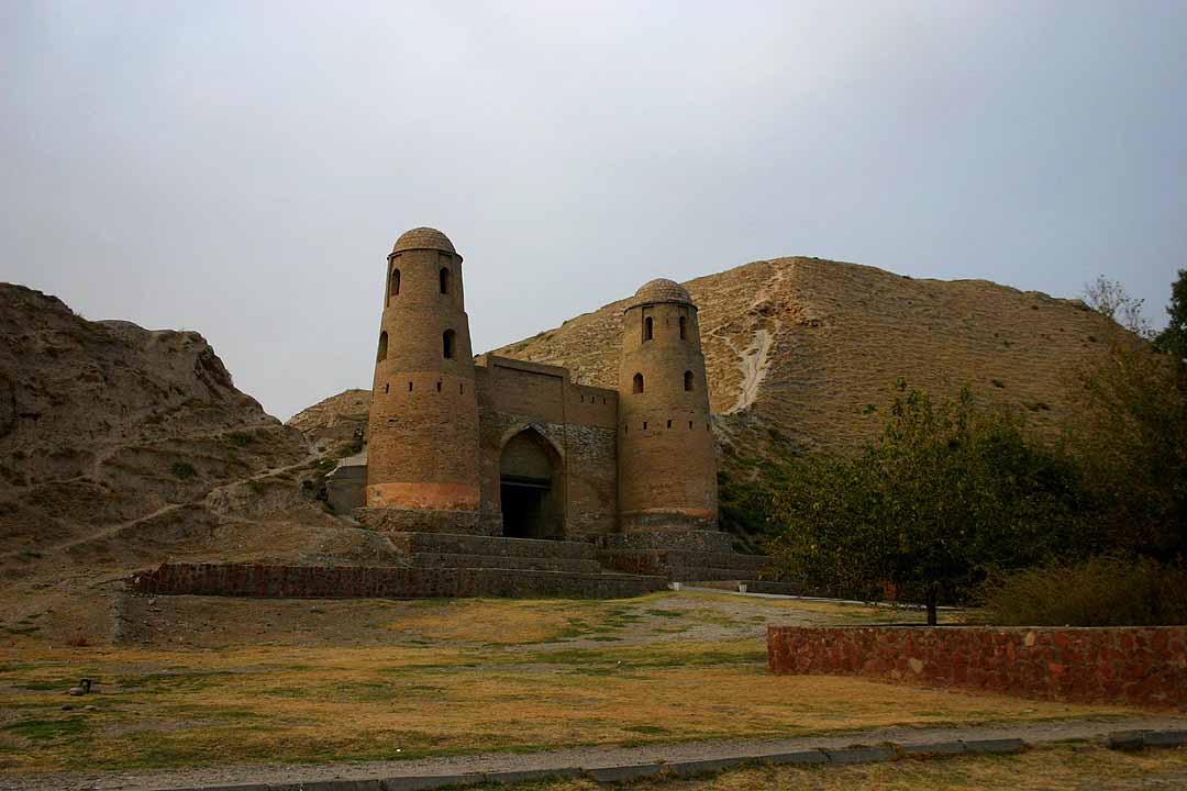
image_caption = Old castle in Hisor
image_
map_caption =
pushpin_
pushpin_label_position =bottom
pushpin_mapsize = 300
pushpin_map_caption =Location in Tajikistan
subdivision_type = Country
subdivision_type1 = Province
subdivision_name =
subdivision_name1 =Region of Republican Subordination
subdivision_type2 = District
subdivision_name2 =Hisor district
established_title =
established_date =
government_type =
leader_title =
leader_name =
area_magnitude =
area_total_sq_mi =
area_total_km2 =
area_land_sq_mi =
area_land_km2 =
area_urban_sq_mi =
area_urban_km2 =
area_metro_km2 =
area_metro_sq_mi =
population_as_of=2001
population_footnotes =
population_total = 22,961
population_urban =
population_metro =
population_density_sq_mi =
population_density_km2 =
timezone =
utc_offset =
timezone_DST =
utc_offset_DST =
latd=38|latm=31|lats=32|latNS=N
longd=68|longm=32|longs=50|longEW=E
elevation_footnotes=
elevation_m =
elevation_ft =
postal_code_type =
postal_code =
area_code =
website =
footnotes =Hisor ( _tg. Ҳисор; also Hissar or Gissar from _ru. Гиссар) is a city in western
Tajikistan , about 15 km west ofDushanbe . It is the capital ofHisor district , in theRegion of Republican Subordination . It lies at an altitude of 799-824 m, surrounded by high mountains (Gissar Range to the north, Babatag and Aktau ranges to the south). ["Atlas of Soviet Republics of Central Asia", Moscow, 1988, in Russian, p. 48.] TheKhanaka River , a tributary to theKofarnihon River , flows through the town. As of 2002, it had a population of 22,961, composed 81.6% of Tajiks, 12.3% Uzbeks, 3.6% Russians, and 2.5% others.Hisor was made a city on
June 26 1993 .References
Wikimedia Foundation. 2010.

