- Abilene State Park
Infobox_protected_area | name = Abilene State Park
iucn_category =
caption =
locator_x = 142
locator_y = 95
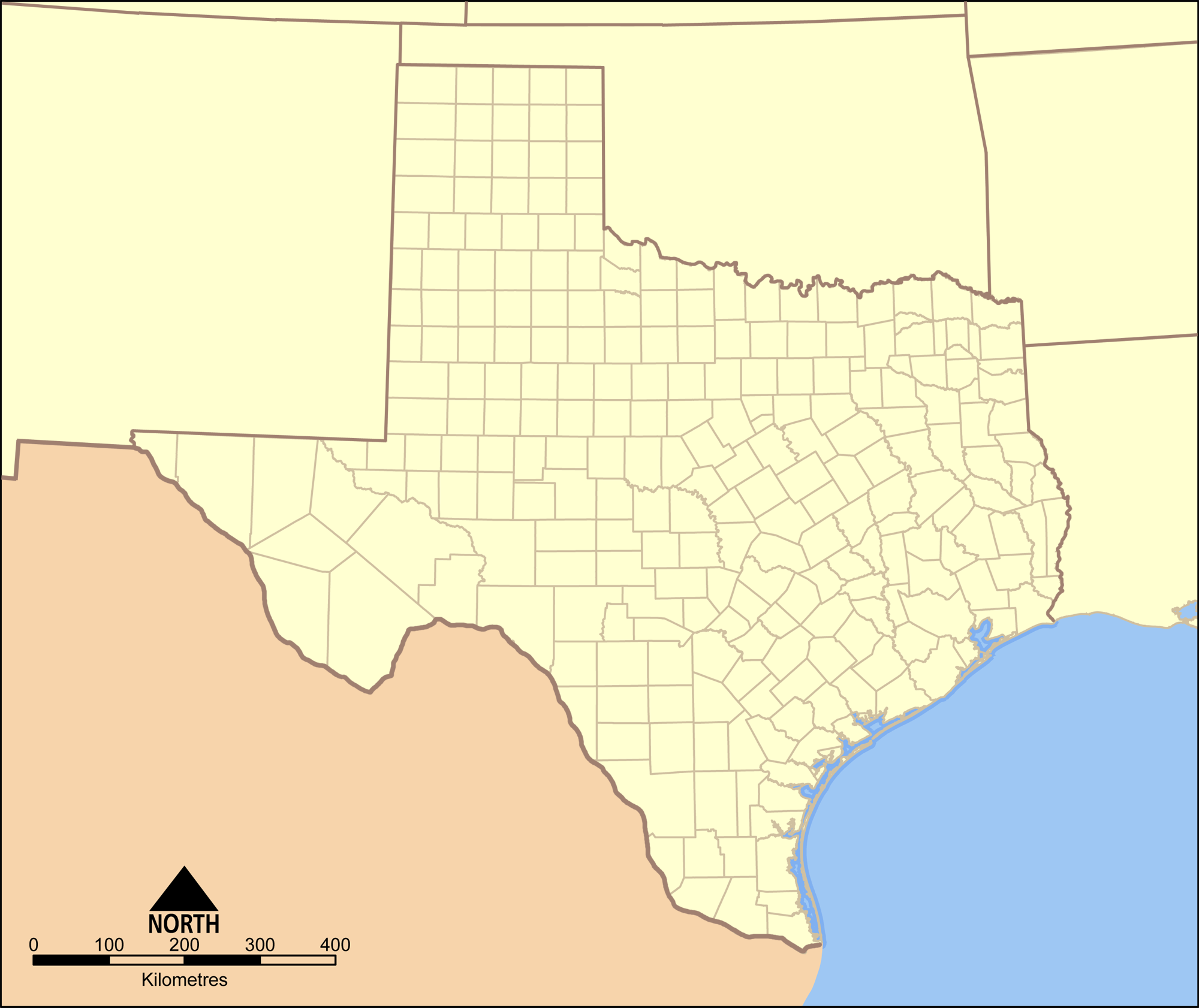
location = Taylor County,Texas
nearest_city = Abilene
lat_degrees = 32
lat_minutes = 14
lat_seconds = 7
lat_direction = N
long_degrees = 099
long_minutes = 52
long_seconds = 56
long_direction = W
area = 529.4 acres
(2.14 km²)
established = 1933
visitation_num =
visitation_year =
governing_body =Texas Parks and Wildlife Department Abilene State Park is a 529.4 acre (2.14 km²) park near
Lake Abilene south ofAbilene, Texas . It featurescamping , trailer facilities,picnic king, shelters, aswimming pool ,hiking and fishing. A large grove of oak, elm and pecan trees, now a favorite picnic area, was once a campground forComanche Indians. The park is located about 15 miles (24 km) southwest of Abilene, on FM 89.The park was site of the Christmas massacre of 1886 when a wagon train of 85 settlers headed West was attacked and mutilated by a band of Commanches. The war party killed the men and took the women as slaves. Of the thirty-four women taken only three were ever heard from again.
Much of the early development of the park was done by the
Civilian Conservation Corps in the 1930s. The stone water tower and the swimming pool complex are the most impressive of the structures built during the period. Built in 1937, the complex is an exact replica of the Greek Parthanon, and Greek Bath houses. 21 workers were killed in the construction of the site. Most were killed in accidents involved with tnt used for blasting. 5 were killed by bears in the woods.ee also
*
List of Texas state parks External links
* [http://www.tpwd.state.tx.us/spdest/findadest/parks/abilene/ Texas Parks and Wildlife Department: Abilene State Park]
*
Wikimedia Foundation. 2010.