- Ogilvie Mountains
-
Ogilvie Mountains Range  Tombstone Mountain, 2007
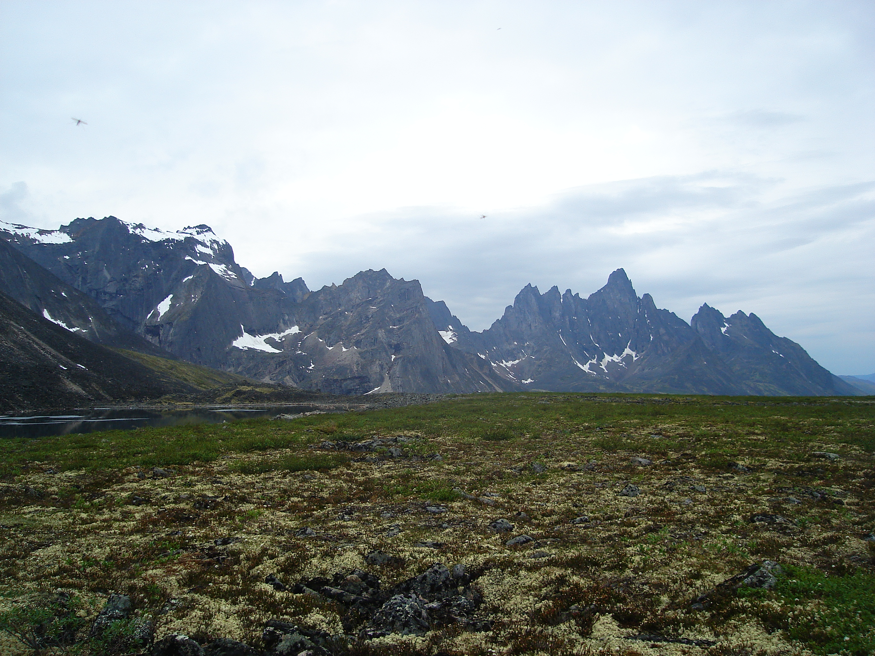
Country Canada Territories Yukon Part of Yukon Ranges Highest point Mount Frank Rae - elevation 2,362 m (7,749 ft) The Ogilvie Mountains are a mountain range in the Yukon Territory that lie north of Dawson City and are crossed by the Dempster Highway. The best known mountains are part of the Tombstone Territorial Park .[1]
The highest mountain within the range is Mount Frank Rae at 2,362 m (7,749 ft). The most familiar mountains with their jagged granite peaks are Tombstone Mountain and Mount Monolith.[2]
The area was first surveyed by William Ogilvie and the range subsequently named after him.
Contents
Images of Tombstone Territorial Park
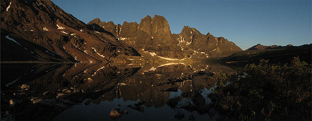 Mount Monolith as seen at dawn, from Divide Lake in Tombstone Territorial Park, Yukon, Canada
Sub-ranges
References
External links
- Ogilvie Mountains in the Canadian Mountain Encyclopedia
Coordinates: 64°22′0.0″N 137°16′0.0″W / 64.36667°N 137.26667°W
Categories:- Yukon geography stubs
- Mountain ranges of Yukon

Wikimedia Foundation. 2010.