- Abercrombie, North Dakota
Infobox Settlement
official_name = Abercrombie, North Dakota
settlement_type =City
nickname =
motto =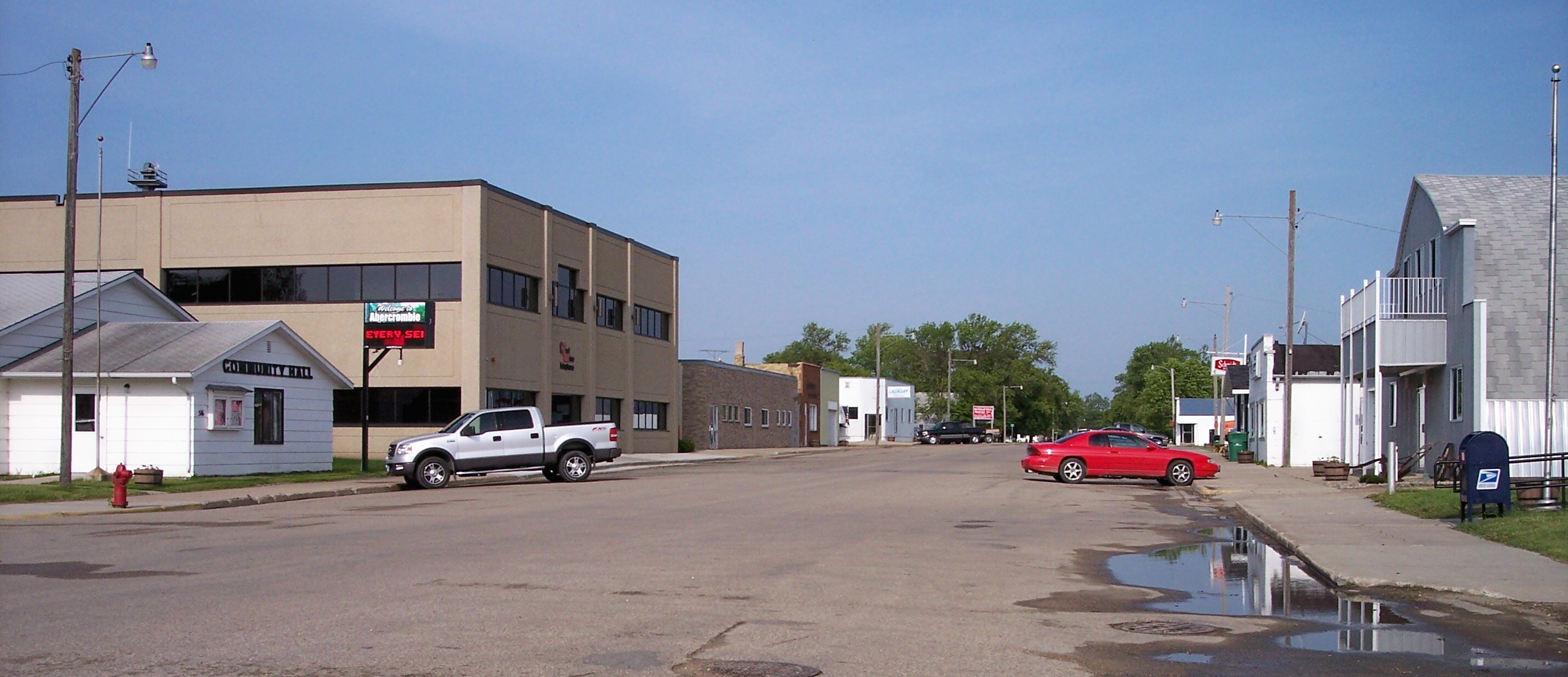
imagesize = 250px
image_caption = Broadway in Abercrombie in 2007
image_
mapsize = 250px
map_caption = Location of Abercrombie, North Dakota
mapsize1 =
map_caption1 =subdivision_type = Country
subdivision_name =United States
subdivision_type1 = State
subdivision_name1 =North Dakota
subdivision_type2 = County
subdivision_name2 = Richlandgovernment_footnotes =
government_type =
leader_title =
leader_name =
leader_title1 =
leader_name1 =
established_title = Founded
established_date = 1884unit_pref = Imperial
area_footnotes =area_magnitude =
area_total_km2 = 1.6
area_land_km2 = 1.6
area_water_km2 = 0.0
area_total_sq_mi = 0.6
area_land_sq_mi = 0.6
area_water_sq_mi = 0.0population_as_of = 2000
population_footnotes =
population_total = 296
population_density_km2 = 186.3
population_density_sq_mi = 482.6timezone = Central (CST)
utc_offset = -6
timezone_DST = CDT
utc_offset_DST = -5
elevation_footnotes =
elevation_m = 286
elevation_ft = 938
latd = 46 |latm = 26 |lats = 50 |latNS = N
longd = 96 |longm = 43 |longs = 46 |longEW = Wpostal_code_type =
ZIP code
postal_code = 58001
area_code = 701
blank_name = FIPS code
blank_info = 38-00100GR|2
blank1_name = GNIS feature ID
blank1_info = 1027647GR|3
website =
footnotes =Abercrombie is a city in Richland County,
North Dakota in theUnited States . The population was 296 at the 2000 census. Abercrombie was founded in 1884. It is part of the Wahpeton, ND–MN Micropolitan Statistical Area.Geography
Abercrombie is located at coor dms|46|26|50|N|96|43|46|W|city (46.447182, -96.729487).GR|1
According to the
United States Census Bureau , the city has a total area of 0.6square mile s (1.6km² ), all of it land.Demographics
As of the
census GR|2 of 2000, there were 296 people, 118 households, and 73 families residing in the city. Thepopulation density was 482.6 people per square mile (187.4/km²). There were 138 housing units at an average density of 225.0/sq mi (87.3/km²). The racial makeup of the city was 96.62% White, 1.35% Native American, 0.34% Asian, and 1.69% from two or more races.The top 6 ancestry groups in the city are Norwegian (54.4%), German (41.9%), Irish (12.8%), Swedish (12.2%), English (7.4%), Czech (6.8%).
There were 118 households out of which 35.6% had children under the age of 18 living with them, 54.2% were married couples living together, 5.1% had a female householder with no husband present, and 38.1% were non-families. 33.1% of all households were made up of individuals and 9.3% had someone living alone who was 65 years of age or older. The average household size was 2.51 and the average family size was 3.27.
In the city the population was spread out with 32.1% under the age of 18, 6.4% from 18 to 24, 31.8% from 25 to 44, 18.9% from 45 to 64, and 10.8% who were 65 years of age or older. The median age was 33 years. For every 100 females there were 124.2 males. For every 100 females age 18 and over, there were 113.8 males.
The median income for a household in the city was $34,167, and the median income for a family was $37,125. Males had a median income of $30,000 versus $17,321 for females. The
per capita income for the city was $13,911. About 8.8% of families and 13.8% of the population were below thepoverty line , including 19.5% of those under the age of eighteen and none of those sixty five or over.References
External links
Wikimedia Foundation. 2010.