- Stanton, North Dakota
Infobox Settlement
official_name = Stanton, North Dakota
settlement_type =City
nickname =
motto =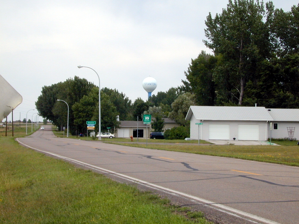
imagesize = 250px
image_caption = Stanton, North Dakota
image_
mapsize = 250px
map_caption = Location of Stanton, North Dakota
mapsize1 =
map_caption1 =subdivision_type = Country
subdivision_name =United States
subdivision_type1 = State
subdivision_name1 =North Dakota
subdivision_type2 = County
subdivision_name2 = Mercergovernment_footnotes =
government_type =
leader_title =
leader_name =
leader_title1 =
leader_name1 =
established_title =
established_date =unit_pref = Imperial
area_footnotes =area_magnitude =
area_total_km2 = 1.2
area_land_km2 = 1.2
area_water_km2 = 0.0
area_total_sq_mi = 0.5
area_land_sq_mi = 0.5
area_water_sq_mi = 0.0population_as_of = 2000
population_footnotes =
population_total = 345
population_density_km2 = 285.7
population_density_sq_mi = 739.9timezone = Mountain (MST)
utc_offset = -7
timezone_DST = MDT
utc_offset_DST = -6
elevation_footnotes =
elevation_m = 519
elevation_ft = 1703
latd = 47 |latm = 19 |lats = 10 |latNS = N
longd = 101 |longm = 22 |longs = 57 |longEW = Wpostal_code_type =
ZIP code
postal_code = 58571
area_code = 701
blank_name = FIPS code
blank_info = 38-75420GR|2
blank1_name = GNIS feature ID
blank1_info = 1032286GR|3
website =
footnotes =Stanton is a city in Mercer County,
North Dakota in theUnited States . It is thecounty seat of Mercer CountyGR|6. The population was 345 at the 2000 census. Stanton was founded in1882 and became the county seat in 1884.Stanton is home to the
Knife River Indian Villages National Historic Site , which houses aHidatsa earth lodge and three abandoned villages. One of these, Awatixa, is believed to be the former home of Sakakawea.Geography
Stanton is located at coor dms|47|19|10|N|101|22|57|W|city (47.319506, -101.382434)GR|1.
According to the
United States Census Bureau , the city has a total area of 0.5 square miles (1.2 km²); all of it land.Demographics
As of the
census GR|2 of 2000, there were 345 people, 159 households, and 107 families residing in the city. Thepopulation density was 739.9 people per square mile (283.4/km²). There were 198 housing units at an average density of 424.7/sq mi (162.7/km²). The racial makeup of the city was 95.65% White, 1.74% Native American, 0.58% Asian, 0.29% Pacific Islander, 0.29% from other races, and 1.45% from two or more races. Hispanic or Latino of any race were 0.29% of the population.There were 159 households out of which 23.3% had children under the age of 18 living with them, 59.1% were married couples living together, 3.8% had a female householder with no husband present, and 32.7% were non-families. 30.2% of all households were made up of individuals and 13.8% had someone living alone who was 65 years of age or older. The average household size was 2.13 and the average family size was 2.58.
In the city the population was spread out with 20.9% under the age of 18, 4.6% from 18 to 24, 21.2% from 25 to 44, 35.1% from 45 to 64, and 18.3% who were 65 years of age or older. The median age was 46 years. For every 100 females there were 106.6 males. For every 100 females age 18 and over, there were 111.6 males.
The median income for a household in the city was $38,958, and the median income for a family was $49,750. Males had a median income of $46,000 versus $24,688 for females. The
per capita income for the city was $17,983. About 0.9% of families and 5.4% of the population were below thepoverty line , including 4.6% of those under age 18 and 13.5% of those age 65 or over.References
External links
Wikimedia Foundation. 2010.