Nossob River

Nossob River
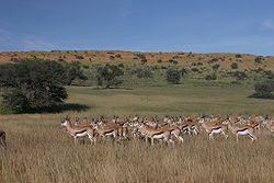
The Auob's course, a Nossob tributary

The Nossob (also Nosob or Nossop) River (≠nuse !ab, Khoikhoi for black river)[1] is a dry river bed in eastern Namibia and the Kalahari region of South Africa and Botswana. It covers a distance of 740km[2] and last flooded in 1989. The river also lends its name to Nossob camp 25°25′18″S 20°35′47″E / 25.42167°S 20.59639°E / -25.42167; 20.59639 in the Kgalagadi Transfrontier Park.[2]

The Nossob has its origin in two main tributaries, the Swart-Nossob and Wit-Nossob, meaning black and white respectively. Both tributaries have their origins in the eastern slopes of the Otjihavera mountain range, east of Windhoek. Their sources are at 1,800m and over 2,000m above sea level respectively. The two river beds have their confluence some 80km south of Gobabis, which is situated on the bank of the Swart-Nossob.

From this confluence the river course passes the settlements of Leonardville and Aranos to arrive at Union's End, South Africa. From Union's End the river bed, forming the Botswana border, meanders through the Kgalagadi Transfrontier Park for a distance of over 200km. It reaches the southern boundary of the game reserve at Twee Rivieren Camp, near its confluence with the Auob river.

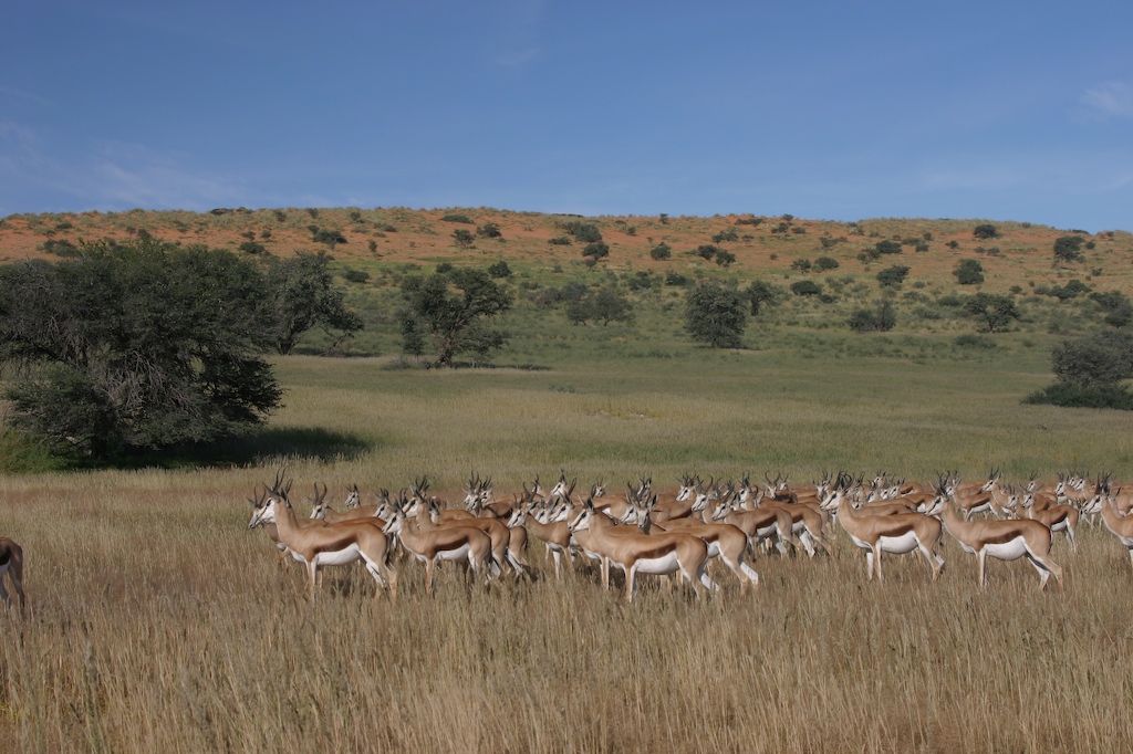
In the Kalahari, the Nossob is said to flow about once a century. However, water does flow underground to provide life for grass and camelthorn trees growing in the river bed. The Nossob may flow briefly after large thunderstorms, causing wildlife to flock to the river.

The Nossob ends at a confluence with the Molopo River some 50km south of Twee Rivieren. The confluence at 26°54′15″S 20°41′24″E / 26.90417°S 20.69°E / -26.90417; 20.69 is still 890m above sea level. The Molopo is in turn a tributary of the Orange River, which it meets downstream of Augrabies Falls.

See also

Notes

  1. ^ du Plessis, E.J. (1973). Suid-Afrikaanse berg- en riviername. Tafelberg-uitgewers, Cape Town. p. 293. ISBN 0-624-00273X. 
  2. ^ a b Raper, P.E. (2004). South African Place Names. Jonathan Ball, Jhb & Cape Town. p. 278. ISBN 1-86842-190-2. 

Wikimedia Foundation. 2010.

Игры ⚽ Поможем сделать НИР

Look at other dictionaries:

  • Nossob River — or Nosop River River, southern Africa. Rising in central Namibia, it flows southeast through the western Kalahari Desert and forms part of the border between Botswana and South Africa, bisecting the Kalahari Gemsbok National Park (now part of… …   Universalium

  • river — river1 riverless, adj. riverlike, adj. /riv euhr/, n. 1. a natural stream of water of fairly large size flowing in a definite course or channel or series of diverging and converging channels. 2. a similar stream of something other than water: a… …   Universalium

  • List of river name etymologies — This page lists the various etymologies (origins) of the names of rivers around the world.Africa*Apies: from Afrikaans meaning little apes *Berg: from Afrikaans meaning mountain *Breede: from Afrikaans meaning wide *Escravos: from Portuguese… …   Wikipedia

  • Molopo River — The Molopo River is located in southern Africa. The river generally flows to the southwest from its source, and has a length of approximately 960 kilometres. River flow is intermittent. When in flood, the flow discharges into the Orange River,… …   Wikipedia

  • Liste von Flüssen in Südafrika — Südafrikas wichtigste Flüsse Die Liste von Flüssen in Südafrika enthält alphabetisch geordnet Flüsse der Republik Südafrika mit Nennung der Provinz bzw. der Provinzen, durch die sie fließen. Liste Fluss Provinz Apies River …   Deutsch Wikipedia

  • Northern Cape — For other uses, see North Cape (disambiguation). Northern Cape Noord Kaap (Afrikaans) Kapa Bokone(Tswana) Mntla Koloni (Xhosa) …   Wikipedia

  • Frontière entre le Botswana et la Namibie — Le Botswana (en bleu) et la Namibie (en rouge) en Afrique. Caractéristiques Délimite …   Wikipédia en Français

  • Geography of Botswana — Continent Africa Region Southern Africa Coordinates …   Wikipedia

  • Gobabis — ▪ Namibia       town, eastern Namibia. It lies on the edge of the Kalahari (Desert) on the intermittent Black Nossob River at an elevation of 4,740 feet (1,445 metres). It is a rail terminus and cattle marketing centre. Tribal reserves… …   Universalium

  • Namibia Wasserregionen — Namibia kann in acht unterschiedliche Wasserregionen untergliedert werden, von denen die meisten nur temporär wasserführende (ephemere) Flussläufe (Riviere) aufweisen und die sich hinsichtlich ihrer Hydrologie charakteristisch unterscheiden.… …   Deutsch Wikipedia

Share the article and excerpts

Direct link
Do a right-click on the link above
and select “Copy Link”