- Scranton, North Dakota
Infobox Settlement
official_name = Scranton, North Dakota
settlement_type =City
nickname =
motto =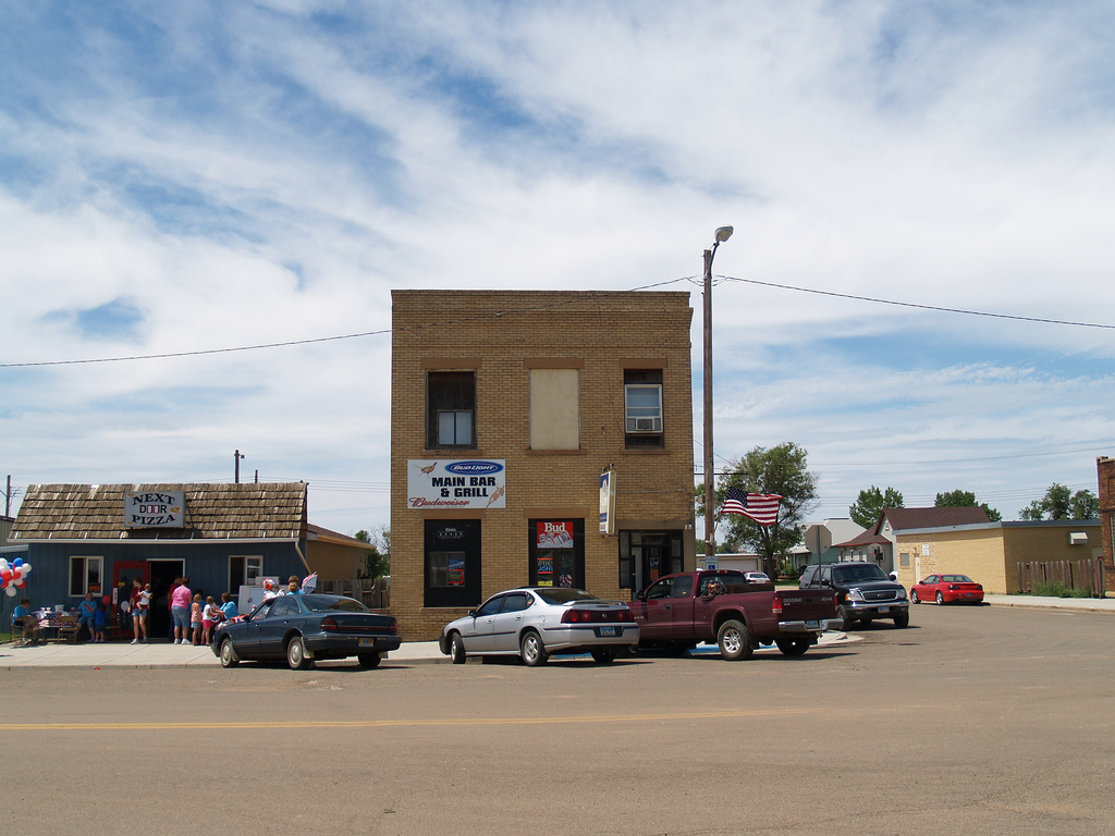
imagesize =
image_caption = A busy summer day in Scranton
image_
mapsize = 250px
map_caption = Location of Scranton, North Dakota
mapsize1 =
map_caption1 =subdivision_type = Country
subdivision_name =United States
subdivision_type1 = State
subdivision_name1 =North Dakota
subdivision_type2 = County
subdivision_name2 = Bowmangovernment_footnotes =
government_type =
leader_title =
leader_name =
leader_title1 =
leader_name1 =
established_title = Founded
established_date = 1907unit_pref = Imperial
area_footnotes =area_magnitude =
area_total_km2 = 2.3
area_land_km2 = 2.3
area_water_km2 = 0.0
area_total_sq_mi = 0.9
area_land_sq_mi = 0.9
area_water_sq_mi = 0.0population_as_of = 2000
population_footnotes =
population_total = 304
population_density_km2 = 132.7
population_density_sq_mi = 343.6timezone = Mountain (MST)
utc_offset = -7
timezone_DST = MDT
utc_offset_DST = -6
elevation_footnotes =
elevation_m = 847
elevation_ft = 2779
latd = 46 |latm = 8 |lats = 50 |latNS = N
longd = 103 |longm = 8 |longs = 39 |longEW = Wpostal_code_type =
ZIP code
postal_code = 58653
area_code = 701
blank_name = FIPS code
blank_info = 38-71500GR|2
blank1_name = GNIS feature ID
blank1_info = 1032008GR|3
website =
footnotes =Scranton is a city in Bowman County,
North Dakota in theUnited States . The population was 304 at the 2000 census. Scranton was founded in 1907.Former
United States Secretary of State Warren Christopher was born in Scranton.Geography
Scranton is located at coor dms|46|8|50|N|103|8|39|W|city (46.147290, -103.144226).GR|1
According to the
United States Census Bureau , the city has a total area of 0.9square mile s (2.3km² ), all of it land.Demographics
As of the
census GR|2 of 2000, there were 304 people, 125 households, and 86 families residing in the city. Thepopulation density was 343.6 people per square mile (133.4/km²). There were 139 housing units at an average density of 157.1/sq mi (61.0/km²). The racial makeup of the city was 99.01% White, 0.33% Native American, 0.66% from other races. Hispanic or Latino of any race were 0.66% of the population.There were 125 households out of which 31.2% had children under the age of 18 living with them, 65.6% were married couples living together, 1.6% had a female householder with no husband present, and 30.4% were non-families. 28.0% of all households were made up of individuals and 14.4% had someone living alone who was 65 years of age or older. The average household size was 2.43 and the average family size was 2.99.
In the city the population was spread out with 26.0% under the age of 18, 3.9% from 18 to 24, 24.0% from 25 to 44, 28.3% from 45 to 64, and 17.8% who were 65 years of age or older. The median age was 43 years. For every 100 females there were 96.1 males. For every 100 females age 18 and over, there were 102.7 males.
The median income for a household in the city was $32,500, and the median income for a family was $41,667. Males had a median income of $27,500 versus $16,458 for females. The
per capita income for the city was $16,283. About 5.1% of families and 5.8% of the population were below thepoverty line , including 1.4% of those under the age of eighteen and 5.6% of those sixty five or over.References
External links
Wikimedia Foundation. 2010.