Chin State — Not to be confused with Chinland (Lairam), the Laimi inhabited areas of Bangladesh, India and Burma (Myanmar). Chin State ချင်းပြည်နယ် State … Wikipedia
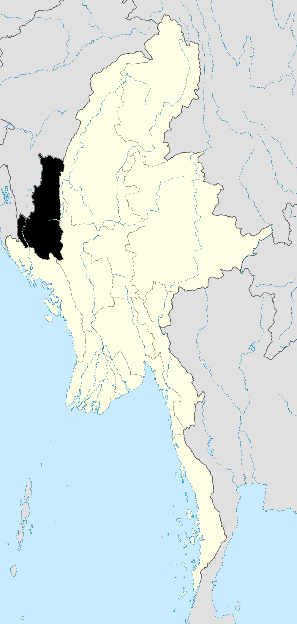
Chin State — One of Burma s 14 states and divisions, with an area of 36,019 square kilometers (13,907 square miles), and an estimated population in 2000 of 480,000 (1983 census figure: 368,949). The state capital is Haka (Hakha) (formerly, the capital was… … Historical Dictionary of Burma (Myanmar)
Darling, Chin State — Darling … Wikipedia
Mindat — may refer to several places in Burma: Mindat, Chin State, in Burma Mindat Township, in Burma Mindat District in Chin State, Burma Mindat, Magway State in Minhla Mindat, Yebyu, Tanintharyi Division Mindat, Thayetchaung, Tanintharyi Division Mindat … Wikipedia
Mindat Township — မင်းတပ်မြို့နယ် Township … Wikipedia
Mindat District — (Burmese: မင်တပ်ခရိုင်) is a district of the Chin State in Myanmar. It consists of four townships and 840 villages. Townships The district contains the following townships: Mindat Township Matupi Township Kanpetlet Township Paletwa Township … Wikipedia
Daai Chin — Not to be confused with Tai peoples. Chin State of Myanmar The Dai or Daai (Yindu) are an ethnic tribe of Chin, Myanmar. The Burmese used to call the Dai Yindu Chin because of their clothing styles. In particular, Dai women used to wear their… … Wikipedia
Matupi Township — မတူပီမြို့နယ် Township Country … Wikipedia
Dai History — (Dai Ethnic Tribe (Chin), Southern Chin State, Myanmar)Geographical features of Dai LandDai land is situated on the west of Mindat township, the north west of Kanpetlet township, the north east of Paletwa township and the south east of Matupi… … Wikipedia
Districts of Burma — Burma s states and regions are divided into 67 districts (Burmese: ခရိုင်; Burmese pronunciation: [kʰəjàiɴ]), which in turn are subdivided into townships then towns, wards and villages. Contents 1 List of districts by state or region … Wikipedia

 Mindat
 Burma
Burma